

Author: Ben Castellani (Page 183 of 358)

Ben grew up in southwestern Pennsylvania and holds both a bachelor's and a master's degree in Meteorology, the latter being from CU Boulder. His hometown received nearly three feet of snow from the Storm of the Century back in March of 1993, sparking his initial interest in impactful weather. Ben currently works on remote sensing and data analysis software at NV5 Geospatial Software in Boulder.
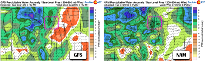
BoulderCAST Daily – Wed 07/22/20 | An injection of subtropical moisture to the High Country

YDetailed Forecast Discussion esterday's severe potential was a bit of a bust across the Denver-Boulder area. In fact almost no rain was observed in our immediate forecast domain. As you can see from the 24-hour rainfall totals below, the stronger storms were generally well to our northeast and also to our south around Colorado Springs. My thoughts that it would …

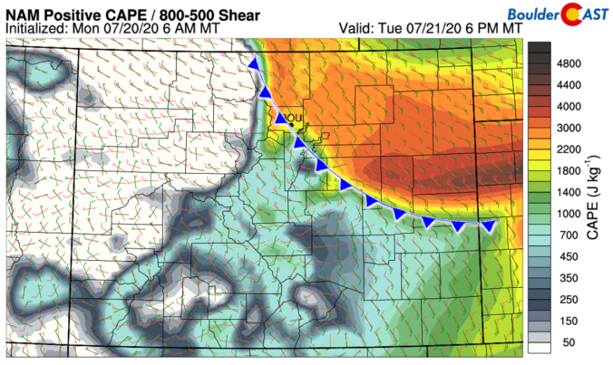
BoulderCAST Daily – Tue 07/21/20 | Thunderstorms developing with large hail possible

TDetailed Forecast Discussion he stalled cold front that was to our north and east yesterday has sagged back westward overnight and is now pushing through the Metro area. North and east of this frontal boundary, low-level moisture is elevated with dew points in the mid to upper 50's. The moisture is just beginning to settle in now and we could …

This week in Colorado weather: July 20, 2020

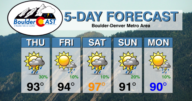
It’s been a brutally hot and dry month of July thus far. The monsoon is yet to materialize for the southwestern United States, but it won’t stop rain chances from increasing this week across the Front Range due to an influx of subtropical and even tropical moisture. Temperatures will remain rather warm, but not quite as hot as the last few weeks. Let’s take a “big picture” look at the week ahead.
Continue reading

BoulderCAST Daily – Thu 07/16/20 | The heat returns

RDetailed Forecast Discussion ain chances and temperatures are on the increase today as a warmer, more unstable airmass wins out across the Front Range. High pressure is currently centered over Texas with weak southwesterly flow present across Colorado. The last two days certainly felt amazing, with BoulderCAST Station reporting highs in the 70's both Tuesday and Wednesday. However, the cool …

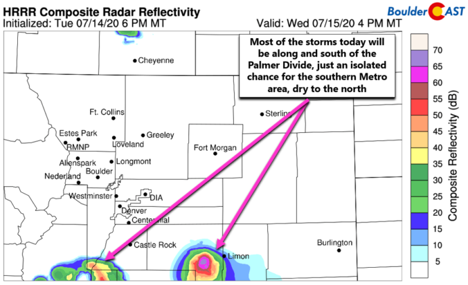
BoulderCAST Daily – Wed 07/15/20 | Continued cool with isolated storms, mainly south of Denver

ADetailed Forecast Discussion second "cool" day will unfold as the cooler airmass still resides over eastern Colorado. Another surge of cool and moist air has backed into the Front Range this morning with low stratus and even fog possible in some areas during the morning hours. There are a few showers showing up on radar with this push, but these …

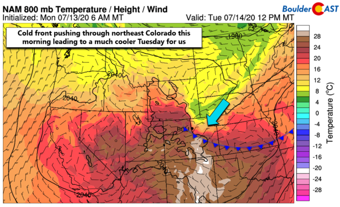
BoulderCAST Daily – Tue 07/14/20 | Pushing pause on the heatwave

IDetailed Forecast Discussion t's that amazing day you've been anticipating for more than a week now! Yes, today high temperatures will NOT make it into the 90's as a cold front is dropping southward across northeast Colorado this morning. Behind the front, a welcomed change in airmass is taking place with cooler Canadian air replacing the mostly dry and hot …

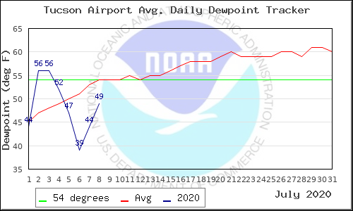
BoulderCAST Daily – Thu 07/09/20 | Lower 90’s as the monsoon is now officially “late”

TDetailed Forecast Discussion he heat is on again today with highs in the lower 90's. It will be slightly cooler following the influx of moist, rain-cooled air overnight from storms well out across the eastern Plains. The ridge of high pressure will really begin to intensify today into tomorrow with 500mb heights reaching near 6000 meters across New Mexico by …

« Older posts Newer posts »