

Author: Ben Castellani (Page 174 of 358)

Ben grew up in southwestern Pennsylvania and holds both a bachelor's and a master's degree in Meteorology, the latter being from CU Boulder. His hometown received nearly three feet of snow from the Storm of the Century back in March of 1993, sparking his initial interest in impactful weather. Ben currently works on remote sensing and data analysis software at NV5 Geospatial Software in Boulder.
BoulderCAST Daily – Tue 11/10/20 | Cool temperatures, but the snow will still melt

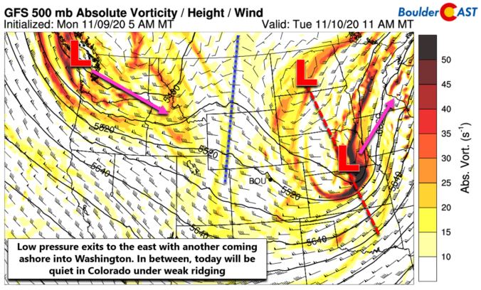
WDetailed Forecast Discussion: idespread snow fell across the entire area on Monday. At times, the snow falling in Boulder was quite heavy during the afternoon. The video below is from CU Boulder around 2PM on Monday. https://twitter.com/BoulderCAST/status/1325905442065674240 Snowfall totals from Monday look to be right in-line with our forecast. That is, around 2-3" in Boulder, 1" or so in most …

BoulderCAST Daily – Thu 11/05/20 | Another warm one

ADetailed Forecast Discussion: nother warm day is expected as temperatures continue to soar under ridging across Colorado and Wyoming with sunny skies prevailing. Temperatures warm to near +9°C this afternoon which will translate to highs in the low to middle 70's across the Plains and in the 50's to middle 60's in the Foothills. Later tonight, a strong Pacific storm …

BoulderCAST Daily – Wed 11/04/20 | Near-record warmth continues

BDetailed Forecast Discussion: oth Boulder and Denver tied record high temperatures yesterday reaching 77°F and 79°F, respectively. Both cities prior records were set all the way back in 1915. Record highs will be challenged across the area through Friday with continued unseasonably warm conditions under high pressure aloft. The weak area of low pressure which produced only some cloud cover …

BoulderCAST Daily – Tue 11/03/20 | Cloudier but still very warm

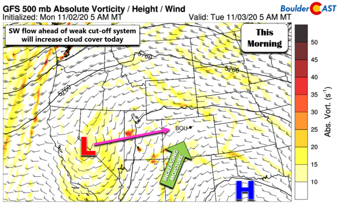
ADetailed Forecast Discussion: weak area of low pressure is currently located near Lake Tahoe with increasing moisture aloft flowing into Colorado ahead of this system from the southwest. With this, there will be more cloud cover around today...enough to produce partly to mostly cloudy skies through the afternoon into the evening. Highs will still be quite warm for early November …

This week in Colorado weather: November 2, 2020

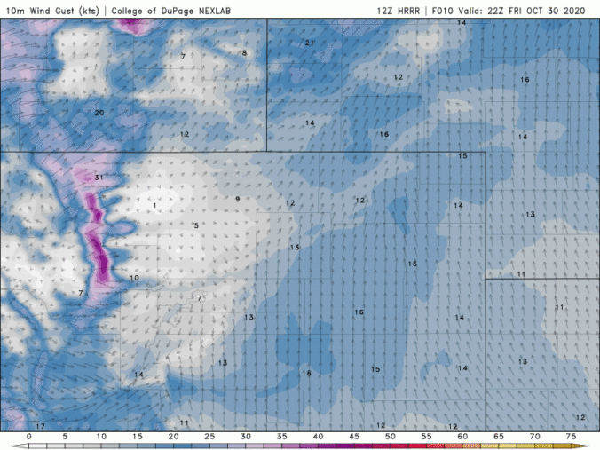
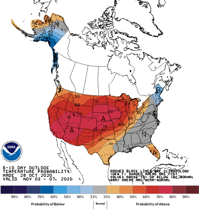
November will commence with very warm and dry conditions across the Front Range as high pressure dominates our weather for yet another week. Afternoon temperatures each day will approach (but likely not exceed) record values. Changes begin to take shape Friday into the upcoming weekend as a strong and cold storm system drops out of western Canada. Initially this will lead to strong winds and high fire danger for Colorado, but snow may be in the works as well.
Continue reading

BoulderCAST Daily – Fri 10/30/20 | Staying mild, gusty tonight in the Mountains

ADetailed Forecast Discussion: pologies for the delayed discussion this morning. Andrew got wrapped forecasting flash flooding and tornadoes from the remnants of Hurricane Zeta in North Carolina late last evening. In any case, today's forecast will be rather calm in the Front Range. As promised, yesterday's high temperatures were quite variable across the Metro area, with locations melting away the …

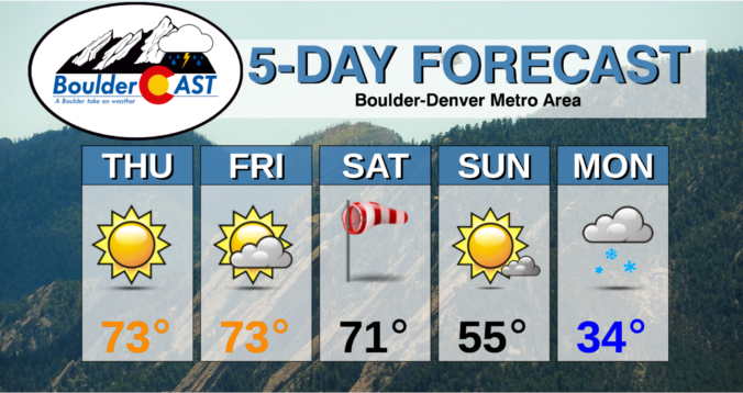
BoulderCAST Daily – Thu 10/29/20 | Sunny for the next five days (at least)

ZDetailed Forecast Discussion: eta made landfall as a Category 2 Hurricane near New Orleans yesterday. The damage is still being assessed of course, but a direct strike in that particular area is never good due to a relatively high population density and extremely low-lying topography along the Mississippi River delta and Lake Pontchartrain. GOES infrared satellite imagery of the landfall …

« Older posts Newer posts »