


Author: Ben Castellani (Page 171 of 358)
Ben grew up in southwestern Pennsylvania and holds both a bachelor's and a master's degree in Meteorology, the latter being from CU Boulder. His hometown received nearly three feet of snow from the Storm of the Century back in March of 1993, sparking his initial interest in impactful weather. Ben currently works on remote sensing and data analysis software at NV5 Geospatial Software in Boulder.
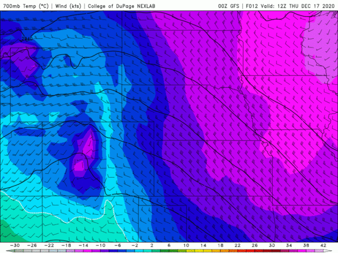
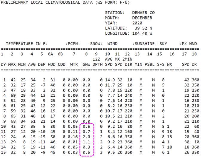
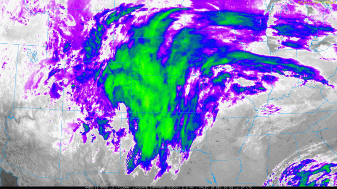

A progressive northwest flow pattern in Colorado this week will lead to generally unsettled conditions for the area with frequent shots of light snow. The Mountains will stand the best chances of accumulation, but some will spill across the Denver Metro area as well. Read on for more details.
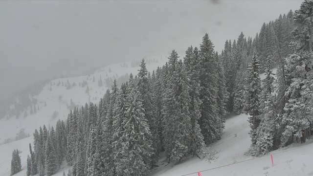
Winter has resettled into the area following a weak storm system yesterday when light snow accumulations were reported across the entire Denver Metro area. Yet another period of widespread light snow will move into the Front Range Saturday evening. We’re predicting slightly larger totals from this next storm. Read on to find out how much snow to expect and also more about the next chance of winter weather which we are already tracking for late Monday.


Live Radar

Trending Content


Recent Premium Posts

This Weekend in Colorado Weather: The Quiet Pattern Ends as Storm Activity Picks Up Across the West
After weeks of sunshine, mild afternoons, and storm systems repeatedly missing Colorado to …
BoulderCAST Daily – Wed 11/11/26 | Mild Days Ahead, But There Are Signs of a More Active November Soon
☀️ Warm & Quiet — Sunshine dominates through Thursday with highs rising from …
BoulderCAST Daily – Tue 11/10/26 | Clouds Increase Today, But Colorado’s Dry Pattern Rolls On
🌤️ A Few More Clouds Today – Mountain wave clouds are developing along …
© 2026 Front Range Weather, LLC