Author: Andy (Page 19 of 205)
Born and raised in St. Louis, Andrew obtained a Ph.D. in Atmospheric Science from the University of Colorado in 2015. From 2015 to 2020, he worked remotely in Boulder as an atmospheric scientist with NOAA's Atlantic Oceanographic and Meteorological Laboratory in Miami. Andy is now a full-time meteorologist.
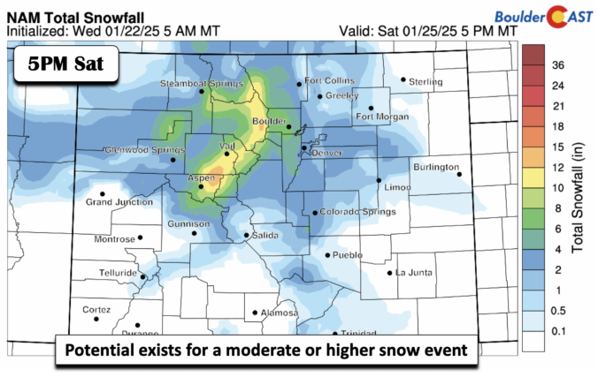
*Premium* BoulderCAST Daily – Thu 01/23/25 | We continue to watch a growing snow threat late Fri through Sat
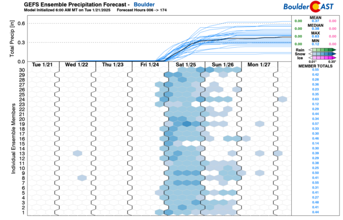
*Premium* BoulderCAST Daily – Wed 01/22/25 | Turning chillier with lower 30s and watching a weekend snow threat

*Premium* BoulderCAST Daily – Tue 01/21/25 | A warmup starts today, along with breezy conditions at times
The week starts off with light snow and bitter cold Arctic air entrenched across the Front Range, but it won’t last long as the frigid airmass exits to our east quickly on Tuesday. While the rest of the week won’t exactly be warm, there will be a general upward trend in our temperatures back into the realm of normalcy. Our next chance of snow in the pipeline could arrive during the upcoming weekend. Read on for more details.
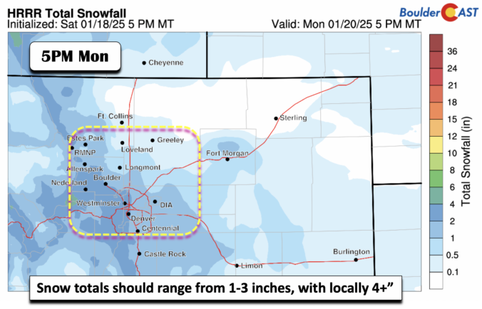
*Premium* BoulderCAST Daily – Sun 01/19/25 | Bitter cold, with another round of light snow tonight into Monday
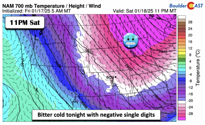
*Premium* BoulderCAST Daily – Sat 01/18/25 | Scattered light snow showers taper off later this afternoon and evening
© 2025 Front Range Weather, LLC

