We hope you had a safe and festive holiday weekend! Despite the very cold start to the week, warmer weather is on the way! Read on for our outlook covering the upcoming week, including when we expect our next chance of snow.
Tag: weather forecast
Our weekly outlook mentioned that it would be a cold and snowy week. We cautioned that the weather models were not in good agreement on much of anything, and therefore were hesitant to believe them, despite the indication of a couple potentially impactful snow events. Today that has changed, with all the major models jumping on-board for a significant snow storm for the region beginning Wednesday afternoon and continuing through the day Thursday. We provide an initial update on what to expect for the second half of the week during what will likely be our biggest snowfall this winter season.
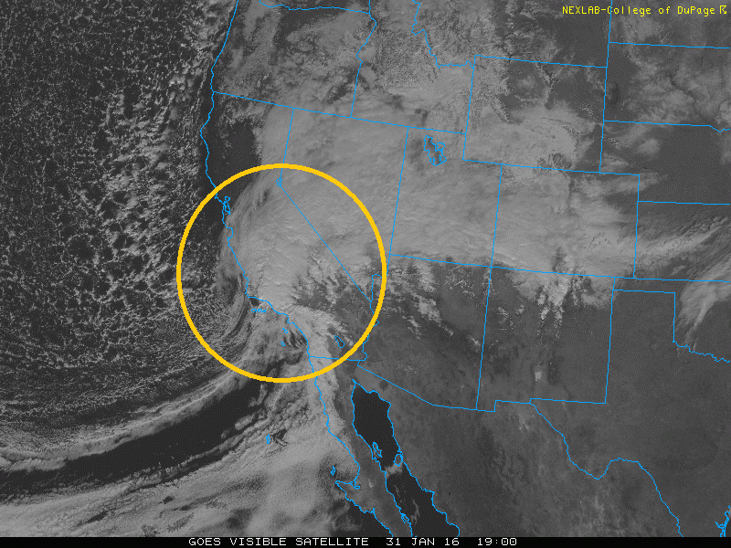
The strong winter storm is still right on track to hit the Denver Metro area and much of Colorado. As we discussed in our previous post, this storm looks impressive and will lead to several inches of snow on the ground by Tuesday morning. In this final update, we provide our snowfall forecast from tonight into Tuesday for Denver, Boulder and the adjacent Foothills.
© 2026 Front Range Weather, LLC


You must be logged in to post a comment.