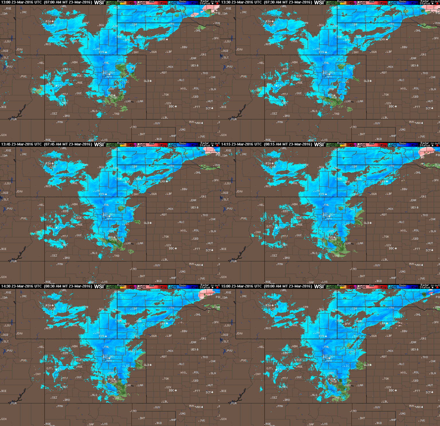
A few big changes in the models in the eleventh hour last night brought the threat of heavy snow westward into the Boulder area. How much more is going to fall? Read on to find out.
Tag: louisville (Page 9 of 17)
Great conditions for skiing will continue this week, as well as an active pattern for snow on the Plains. The focus for the week ahead will be a fast-moving system Wednesday, which will usher in below normal temperatures and little bit of white stuff. Beyond that, we’re also monitoring a second chance of snow for the weekend. Read on for our full forecast.
The March sun has already made its presence known, quickly working to wither away yesterday’s dumping of snow. We review the storm totals from across the region, and reveal when we’ll return to those spring-like 70’s (spoiler: it’s shockingly soon). We’re also already tracking our next potential snow event. Read on for details.
Overnight, there has been a few changes in the models which will ultimately result in an earlier start and higher snow amounts for much of the region, especially the Foothills. This is probably already apparent, considering light snow has been falling through the day. Read on for our final forecast details and snow map.
Following a welcomed dumping of snow in the Mountains this week, our attention shifts to the lower elevations late Thursday night into Friday for our own shot of snow. We detail what to expect as far as amounts and timing, and express some of our lingering concerns with the set-up.
If you are sick of the warmth and lack of decent skiing, this week’s weather will be welcomed. The focus for the week ahead will be a slow-moving trough which takes hold across the center of the country. This will bring an extended period of cooler weather to the region and heavy snow to the Mountains. We’re also monitoring a chance of snow for the Plains towards the end of the week. Read on for our full forecast.
This week’s weather begins cooler but seasonal with a chance of a rain/snow mix. Don’t worry though. Warmth returns later in the week with near 70-degree temperatures. Read on for more in-depth forecast discussion.
In the wake of a gorgeous spring-like weekend, sunshine and above normal temperatures will continue for the week ahead. However, a cold and likely snowier pattern change is finally on the horizon. Read on for full details of our forecast, and a quick review of the toasty month of February.
© 2025 Front Range Weather, LLC


You must be logged in to post a comment.