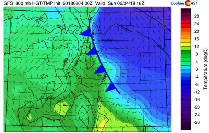
A mix bag of wintry weather will be present across the Metro area through Saturday evening. Read on as we discuss how things will play out and provide our snowfall forecast for Saturday.
Tag: Denver (Page 8 of 38)
Premium Storm Update (Mon Feb 5 at 1:30 PM) Ensembles are out to lunch for tonight’s snow! We provide a brief storm update along with a discussion on why the ensemble model runs are worthless for this particular wintry event. READ NOW
—
This week will see rain changing to snow Monday evening. We have included our official snowfall forecast map. We’ll then see a significant warming trend through the rest of the week as a lee trough develops, with the potential for more snowfall during the upcoming weekend.
Yet another shallow Arctic front has backed into the Metro area this morning, with light snow and freezing drizzle now falling across the region. We detail the weather for the next 48 hours, including the chance of more wintry weather Monday night.
*Contest entries are now closed*
What is the outlook for snowfall in the next three months? You tell us! We provide a brief overview of the climatology, long-range model forecasts, and La Niña for the next three calendar months. We then ask for YOUR long-range forecast for snowfall in Boulder. Prizes include Amazon gift cards, BoulderCAST T-Shirts, and Premium subscriptions. Enter now!
The first few days this week will be quite warm…potentially record setting. Colder air follows midweek with the possibility of snowfall for the Mountains and Plains. We detail this, as well as the extended range forecast through the weekend in which we are tracking Arctic air.
Warm weather has been the story over the last few days for the Front Range, but that headline is about to change with the arrival of a potent winter storm Saturday night. We explain the atmospheric set-up and detail what will likely be our biggest snow event so far this winter across the lower elevations.
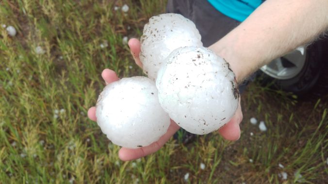
On May 8th 2017, a severe thunderstorm formed over the western suburbs of Denver around 2:30 PM Mountain Time. Hailstones up to 2.75″ in diameter pummeled cars and structures causing a total of $1.4 Billion (that’s billion with a “B”!) in damage, thereby becoming the costliest hailstorm in state history. We take a look back at this historic storm, and give you warning of the impending insurance spikes for 2018.
The week ahead starts out on the cold and wintry side on this M.L.K. day. The Arctic air doesn’t last long however, as warm air spreads back into the area by Wednesday. We are watching the potential for a more potent winter storm late in the week and coming weekend. Read on for more details.
© 2025 Front Range Weather, LLC

