Page 9 of 549
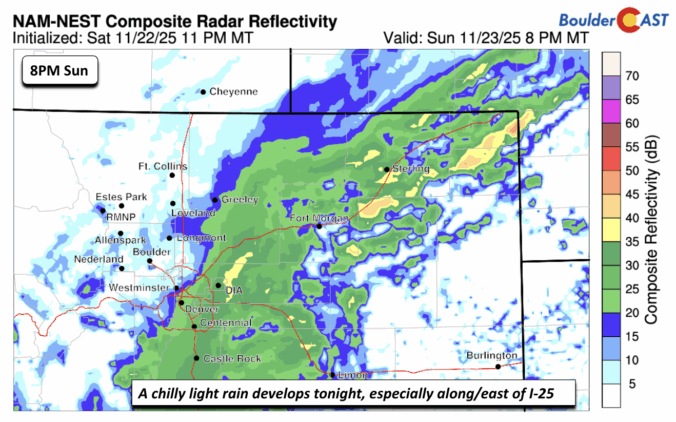
*Premium* BoulderCAST Daily – Sat 11/22/25 | Quiet today but light snow may be possible south of Denver late Sunday
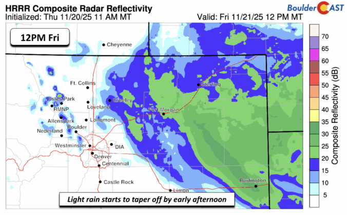
Forecast Update: Weakening storm to bring light rain to the Metro area Thursday evening, light snow in the Foothills
It’s been a tricky week for the weather models — and for us forecasters trying to make sense of it all. Our latest storm system has kept everyone on their toes, thanks to a complicated dance between two low-pressure systems across the Southwest. Each new model run seemed to rewrite the story, with big swings in outcomes and plenty of disagreement between guidance. But now that the storm is closing in, confidence is finally improving: we’re looking at a light precipitation event for the Front Range, with rain the only worry across the lower elevations.
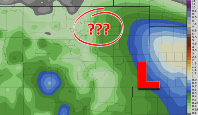
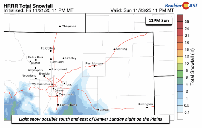
Forecast Update: A complicated forecast remains for the late-week storm, but whatever transpires will fall as chilly rain for the lower elevations
Enjoy Wednesday’s sunshine while it lasts—it’s the calm before a complicated storm setup arrives tomorrow. A pair of low‑pressure systems are set to interact in a complicated manner late Thursday into Friday, leaving big questions about how exactly things will unfold across eastern Colorado. Read on for our latest thoughts on the developing late-week autumn storm headed for the Front Range.
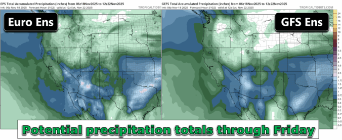
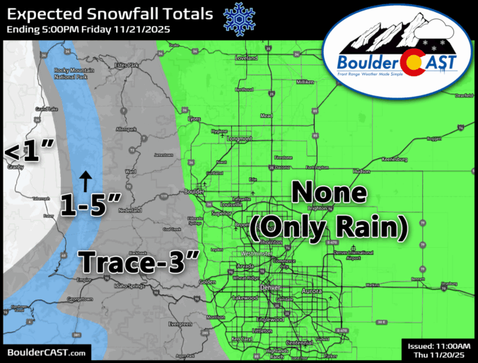
*Premium* BoulderCAST Daily – Tue 11/18/25 | A quiet few days in the lower 60s before our next storm arrives late on Thursday
After weeks of unseasonable warmth and bone‑dry skies, the Front Range is finally staring down a pattern shift this week. But will it deliver the moisture we’ve been waiting for—or just more wind and disappointment? In this update, we break down some stats from our parched autumn so far, and take a look at several storm systems moving through Colorado this week, one of which will offer an excellent chance of rain (and maybe some snow) in the Boulder-Denver area.
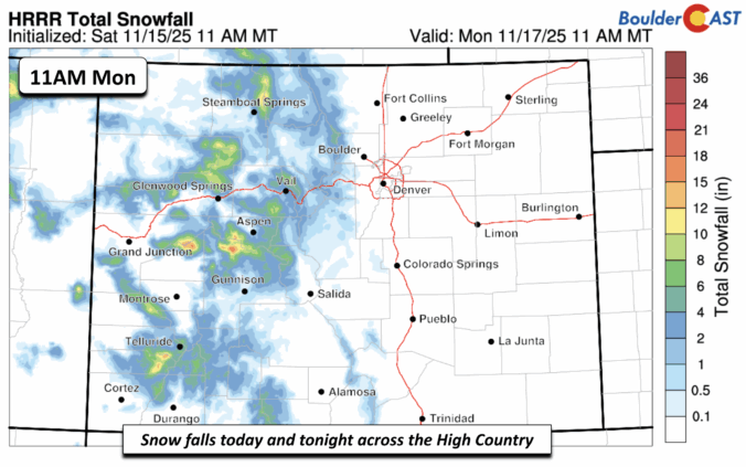
*Premium* BoulderCAST Daily – Sun 11/16/25 | Mild again today before a cool down for the upcoming week
© 2026 Front Range Weather, LLC


