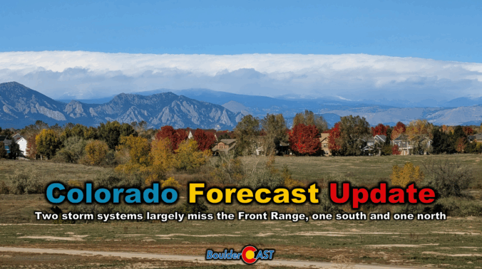
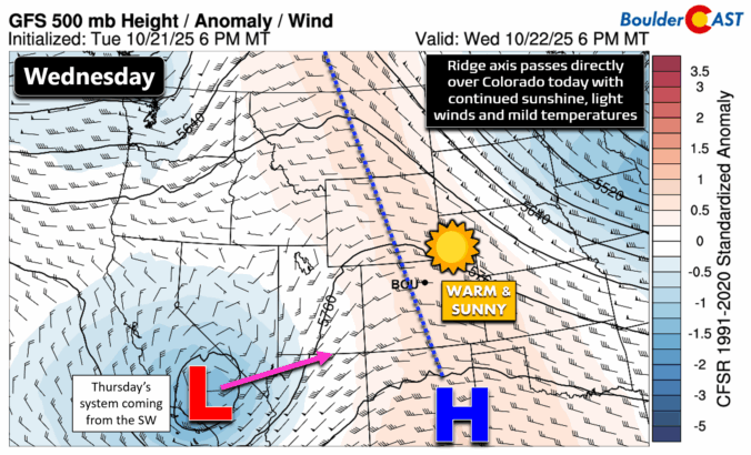
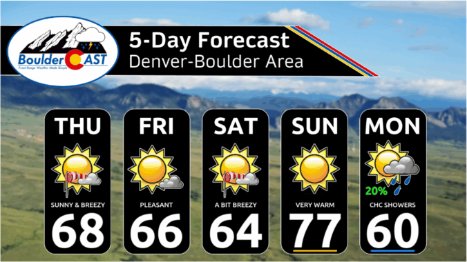
Clouds roll in Thursday as a compact storm system approaches from the southwest—but don’t expect much more than a few sprinkles and high mountain snow. Boulder and Denver stay mostly dry, with mild temps in the 60s and a sunnier stretch ahead for Friday and Saturday. A stronger trough will arrive Sunday into early next week, bringing gusty winds and a taste of cooler fall air, but once again little in the way of meaningful rain or snow east of the Mountains. Read on for all the details.

Page 13 of 549
This week’s forecast is anything but boring in the Front Range. A fast-moving autumn storm is stirring up the atmosphere on Monday with jet-driven Mountain snow, powerful downslope winds, and a fire-weather setup that demands caution. And once the winds die down? A hard freeze will slam the door on the growing season for the entire area Monday night. Read on for a full breakdown of the very active weather unfolding in Colorado on Monday, plus a peek towards the quieter days ahead.

Live View of Boulder

Current Conditions

Live Radar

Recent Premium Posts

BoulderCAST Daily – Sun 01/11/26 | A mild Sunday with readings reaching the 50s
🌤️ Mild & Melty Sunday: Light winds and patchy clouds, with lingering snowpack …
BoulderCAST Daily – Sat 01/10/26| Widespread sunshine and moderating temperatures this weekend as our recent snow melts off
🌤️ Calm Saturday: Winter storm systems have departed the state, leaving behind a …
BoulderCAST Daily – Fri 01/09/26| Snow ends quickly this morning with a quieter weekend in store
❄️ Overnight snow bands: A second push of upslope after midnight sparked narrow …
3-Day Forecast

Trending Content

© 2026 Front Range Weather, LLC