It’s going to be a hot next couple of days with only limited chances for rain. It’s only fitting for the official beginning of summer! Continue reading for our complete forecast!
 Remember, these daily forecasts are Premium content. Periodically, we open this forecast up to all of our readers. Today is one of those days!
Sign up today to get the best BoulderCAST experience, including these forecasts every day, extended and enhanced graphical forecasts, chat room and forum access, early viewing of select content and much more! Hiking forecasts are the next product coming exclusively to BoulderCAST Premium. We’re expecting to launch them in the next week or so. Check out a few teaser graphics HERE.
For today only, in celebration of the first day of summer, use the promo code SUMMER to receive 40% off an annual subscription to BoulderCAST Premium, our biggest discount ever!
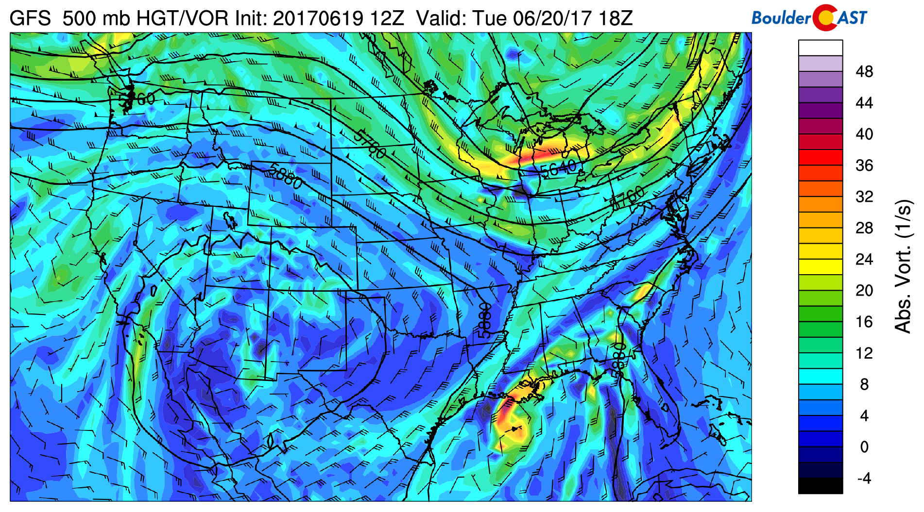
The ridge discussed in our outlook yesterday remains parked across Utah today, with an extremely weak disturbance moving across northern Colorado during the evening hours.

It’s only fitting that for the first day of summer we are set to heat up nicely into the middle 90’s this afternoon across the Plains, with 80’s in the Foothills. However, between 5:00PM and midnight, we’ll be watching for a few isolated showers and storms across the region. These storms are the result of slightly elevated moisture and also the upper-level disturbance. Any activity will be weak, and many areas will remain dry. We think just a 15% chance of rain today for the Metro area.
90’s return tomorrow too, along with isolated afternoon and evening storms. We hope you find a way to beat the heat!
Finally, we leave you with a great wave cloud time-lapse from last Friday taken just north of Boulder. With strong winds aloft, at least this morning, expect to see a few stationary wave clouds out there today, too! Thanks to YouTube user a colorado sky for the video!
.


You must be logged in to post a comment.