
Another late-week system will impact much of Colorado Friday morning through Friday night with light rain turning to snow across the Metro area. With an unfavorable track and limited cold air, snow accumulations will be minimal. We take a look at when the rain will arrive, when it will change to snow, and expected snowfall amounts.
Category: Winter Weather (Page 84 of 139)
These posts contain some discussion of the white stuff, whether it be mountain snow pack or a Front Range snowstorm.

Temperatures will be on the uptick over the next couple days, after which a downward trend takes over toward the latter part of the week. There are also hints of a late week rain and snow event. We’ll detail all of this and more in our week ahead.

A moisture-infused spring storm dumped up to 2″ of liquid and 2 feet of wet snow in portions of the Metro area on Thursday on the first day of spring. We briefly review the atmospheric setup and take a look at the regional snow totals and blizzard-inducing wind gusts.
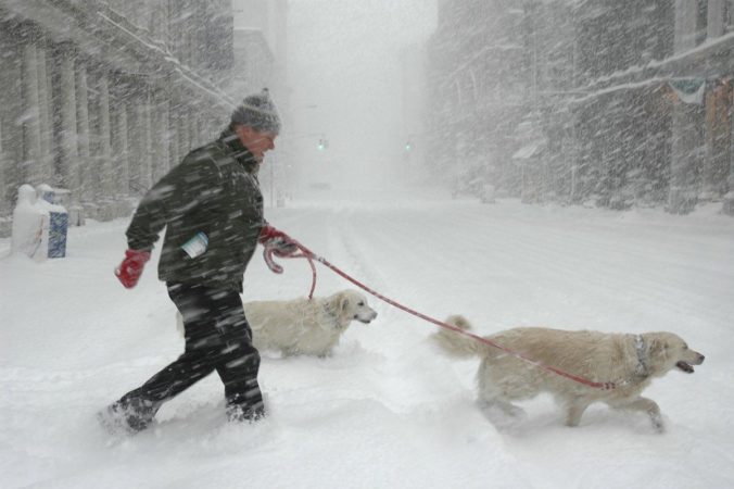
Paradoxically, the last day of winter will feel like spring and the first day of spring will be filled with heavy blowing snow. The Front Range will transition from warm and sunny weather Wednesday afternoon quickly to blizzard-like conditions on Thursday. However, the forecast remains a steep challenge with a combination of several factors likely to limit overall snow accumulation across the Denver Metro area, despite a deluge of liquid expected. We discuss the latest forecast, including our concerns about the wintry aspects of the storm and how much snowfall to expect.
PREMIUM UPDATE (8:00 AM Thu 03/19/20): We take a look at the impressive satellite imagery and observations this morning across the Denver Metro area and discuss our lingering concerns with those pesky springtime temperatures. Click HERE to read.

It’s business as usual to start the week with continued mild conditions through Wednesday. However, we are keeping close tabs on a developing winter storm later this week. It’s a complex system to say the least and our confidence in the forecast is low right now, but we could be talking up to a foot of snow in some portions of the Metro area by Friday morning. Read on for our complete outlook for the next five days.
Goodbye Spring! Our weather has already turned colder following the passage of a front earlier this morning. The stakes get raised even further Thursday night into the day Friday when a wide range of precipitation is expected across the Front Range. In this end of week forecast update, we talk freezing drizzle, rain and snow. And yes, there is a snowfall map!

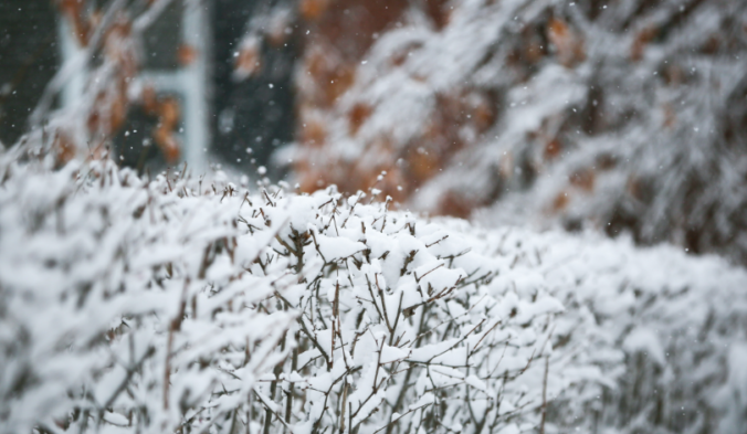
Following a quick taste of winter Sunday night, our weather takes a turn for the better with warmer and drier conditions ensuing this week. We discuss the snow totals from Sunday night and look ahead to possible record warmth later this week into the weekend.

Live View of Boulder

Current Conditions

Live Radar

Recent Premium Posts

This Weekend in Colorado Weather: Early-Season Heat Ramps Up — First 90s of the Year on the Horizon
🌬️ West–northwest flow Thursday supports high‑based convection with gusts to 35 MPH; virga …
BoulderCAST Daily – Wed 06/03/26 | Scattered P.M. storms again as moisture peaks for the week
🌬️ Weak westerly flow aloft today with no major synoptic features nearby; only …
BoulderCAST Daily – Tue 06/02/26 | Storms Reload This Afternoon, But With Noticeably Less Bite
❄️ Monday delivered lots of hail to northeast Colorado, with one supercell tracking …
3-Day Forecast

Trending Content

© 2026 Front Range Weather, LLC