Category: Winter Weather (Page 20 of 134)
These posts contain some discussion of the white stuff, whether it be mountain snow pack or a Front Range snowstorm.
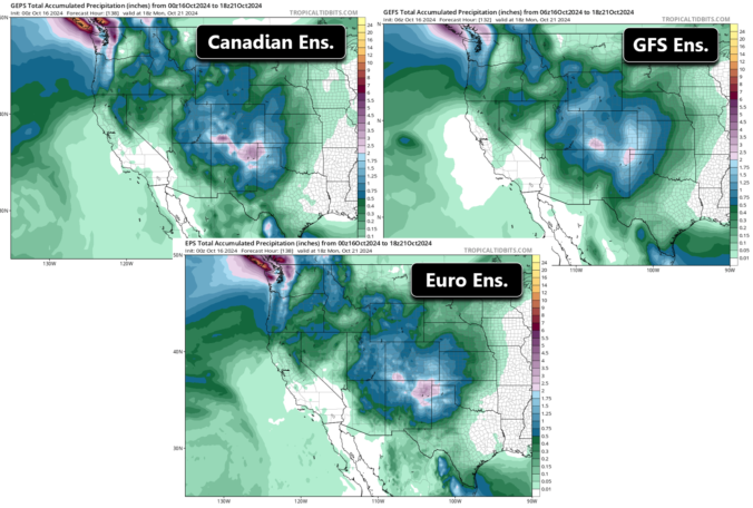
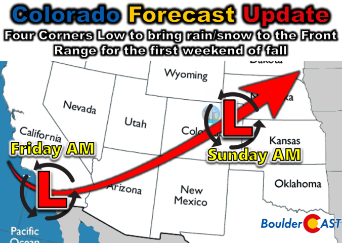
Temperatures across the Front Range will remain unseasonably warm for much of the week ahead pushing into the 70s and 80s. Precipitation will once again be vacant from the forecast early this week with no major weather systems to speak of. However, that all changes as we head into Friday and the weekend as our team is tracking a strong storm system that is taking aim on Colorado. Rather large uncertainty still remains in the exact outcome for us, but we discuss the odds of seeing our first snow and/or much-needed rainfall.
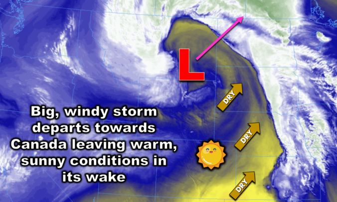
The Front Range will unfortunately see a continuation of unseasonably warm and bone dry weather this week. With a strong ridge of high pressure parked over the region, temperatures will remain summer-like in the lower 80s for the most part. While a couple of weak cold fronts may bring slight temperature drops, there will not be any precipitation. Wildfire smoke from neighboring states will intermittently affect our air quality. We also look ahead to a pattern shift next week which should bring welcomed changes. Read on for all the details.
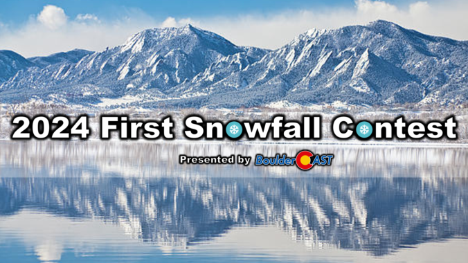
10th Annual BoulderCAST First Snowfall Contest
Are you eager for the first snowball fight of the season? Have you already waxed your skis and purchased your overpriced Epic Pass? Did you swap on your snow tires far too early again? The Front Range’s first big snow could be right around the corner! Mother Nature has been wreaking havoc on this contest recently — within just the last four years we’ve had our latest AND earliest snowfalls on record! What’s in store for 2024? We provide a brief overview of Boulder’s first snowfall climatology and then pose the question…“When will Boulder’s first measurable snow occur this year?” Submit your guess for a chance to win an assortment of prizes. Those who get closest to the date and amount of our first snow win.
*Sorry but the contest is now closed to entries*
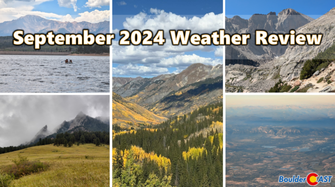
September was an exceptionally warm month in the Front Range, with most areas landing more than four degrees above average. This was our fourth consecutive month that finished on the north side of normal. Outside of a single soaking rain event, the month was also extremely dry with drought expanding further across the area. Here’s a quick and colorful graphical recap of our weather during September and how it relates to climatology.
The Front Range experienced its first significant rainfall in five months, with some areas receiving up to an inch of rain over the weekend. The start of the work week will be relatively cool. However, a strong ridge pattern known as an omega block will bring warm and dry conditions from Wednesday onwards, with temperatures rising into the 80s and potentially reaching record highs by Thursday. While there is no hope for any snow in our forecast yet, our 10th Annual First Snow Contest will open to entries later this week. Read on for all the details.
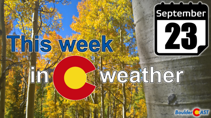
This weekend will surely feel a lot different than recent ones as the first autumn storm system of the year arrives into Colorado — conveniently aligning with the official first day of autumn on Sunday. While a fair amount of uncertainty remains in potential precipitation totals for the Front Range, everyone should see an extended period of light to moderate rainfall from late Saturday afternoon into Sunday morning. Fortunately it is still too warm for frozen precipitation across the lower elevations, but snow will fall in the Mountains accumulating up to several inches. Here’s our latest thoughts on what has turned out to be a tricky storm to forecast!

Live View of Boulder

Current Conditions

Live Radar

Recent Premium Posts

BoulderCAST Daily – Thu 01/15/26 | Fire Danger Today Before a Cold Front Tonight
🔥 Fire danger rising — Warm and windy today ahead of a strong …
BoulderCAST Daily – Wed 01/14/26 | A gorgeous Wednesday ahead of increasing fire danger & a stronger cold front tomorrow
🌬️ Weak front overnight — A weak cold front slipped through around 9:30 …
BoulderCAST Daily – Tue 01/13/26 | A thick blanket of high clouds won’t stop us from reaching the 60s again
☁️ Thick cloud deck overhead — Moisture streaming in aloft brings widespread mid‑ …
3-Day Forecast

Trending Content

© 2026 Front Range Weather, LLC