


After a breezy and mild Sunday, this week’s weather is all about the wind and warmth. The upper-level jet will be overhead these next few days, producing west-northwest winds as high as 70 mph at times, especially in the Foothills. A ridge then rebuilds by midweek, sending our highs soaring into the low 70’s. Nothing to speak of in terms of precipitation, though the mountains will see some snow. Time to get those shorts out!
Category: Winter Weather (Page 154 of 161)
These posts contain some discussion of the white stuff, whether it be mountain snow pack or a Front Range snowstorm.
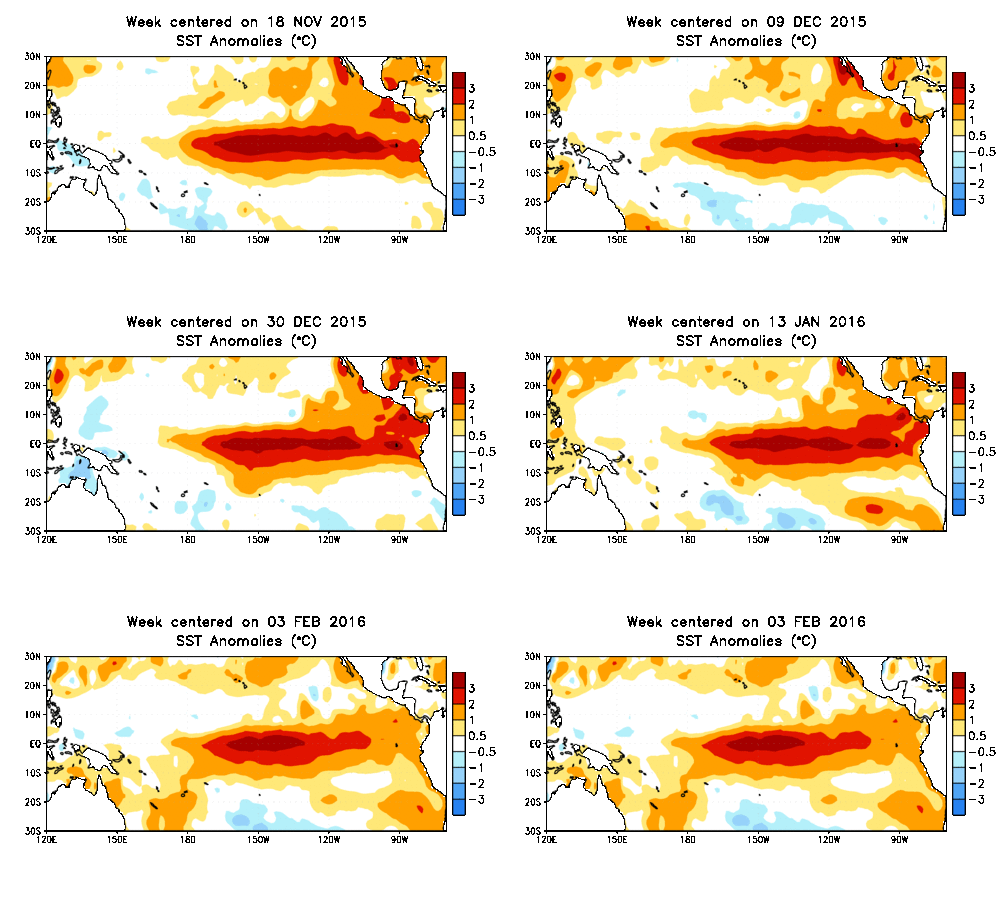
On paper, the 2015-16 super El Niño became everything that it was forecast to be, with water temperatures across the equatorial Pacific Ocean warming to near-record levels. However, the location and extent of the warming, and the global impacts, have been anything but typical. We discuss how well our last El Niño forecast verified and the outlook for the remainder of our winter season. What can Boulder expect in the way of precipitation, snowfall, and temperatures heading forward? Read on to find out.
Are you beginning to anticipate those hot, sunny, and at times, stormy summer afternoons? You’re definitely not alone. Winter in Colorado can be long, with snow possible (and dare I say, common) nine months out of the year, even on the Plains. Following our biggest single-storm snow event in nearly three years, we check in on our snow totals and mountain snowpack thus far for the 2015-16 winter season.
Two weekends in a row, forecast models get to pat themselves on the back for accurately predicting major snowstorms more than seven days in advance. While this is a great showcase for the advancement of modern numerical weather prediction, it shouldn’t be considered a common occurrence. Model uncertainty, especially that far in advance, is still very large. After all, weather is the poster child for chaos theory!
As this week’s storm slid across the North Pacific Ocean on it’s way to Colorado, we were hesitant to inject any definitive snowfall amounts into our forecasts. Remarkably, looking back, if we had to issue a forecast a week ahead of time, it wouldn’t have looked all that different from our snowfall map the day before. We explain why this storm was a relatively easy forecast, and issue a few words of caution as we head through the second half of our winter season.
This week’s snowstorm has definitely lived up to the hype. Despite a few wrenches thrown in to the mix, our forecast turned out quite well, thanks in part to last night’s ferocious snow band. We recap the storm, explain why the heavy snow formed last night, and check in on our forecast. Read on for all the details.
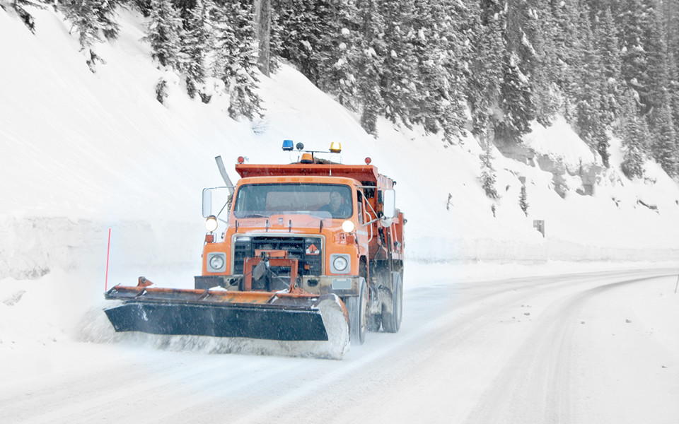
Over the last 48 hours, little has changed with the storm. The Front Range is still on track to pick up a decent dumping of snow on Monday, with amounts and timing starting to become a little bit more clear. Read on for our current thoughts, as of Friday evening.
Live Radar

Trending Content


Recent Premium Posts

BoulderCAST Daily – Tue 11/10/26 | Clouds Increase Today, But Colorado’s Dry Pattern Rolls On
🌤️ A Few More Clouds Today – Mountain wave clouds are developing along …
BoulderCAST Daily – Sun 11/08/26 | Mild November Weather Continues, Even With A Cold Front Midweek
☀️ Sunny and warm for early November – Temperatures in the middle to …
BoulderCAST Daily – Sat 11/07/26 | A Pleasant Weekend With Dry Weather For a While…
☀️ Sunny and Pleasant – Highs in the lower 60s this afternoon trend …
© 2026 Front Range Weather, LLC
You must be logged in to post a comment.