


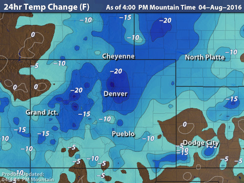
Cooler weather and beneficial rains are spreading across the Front Range as monsoon moisture collides with a cold front on our doorstep. Continue reading for rainfall amounts, timing, and when to expect that brutal August heat to return.
Category: Winter Weather (Page 149 of 161)
These posts contain some discussion of the white stuff, whether it be mountain snow pack or a Front Range snowstorm.
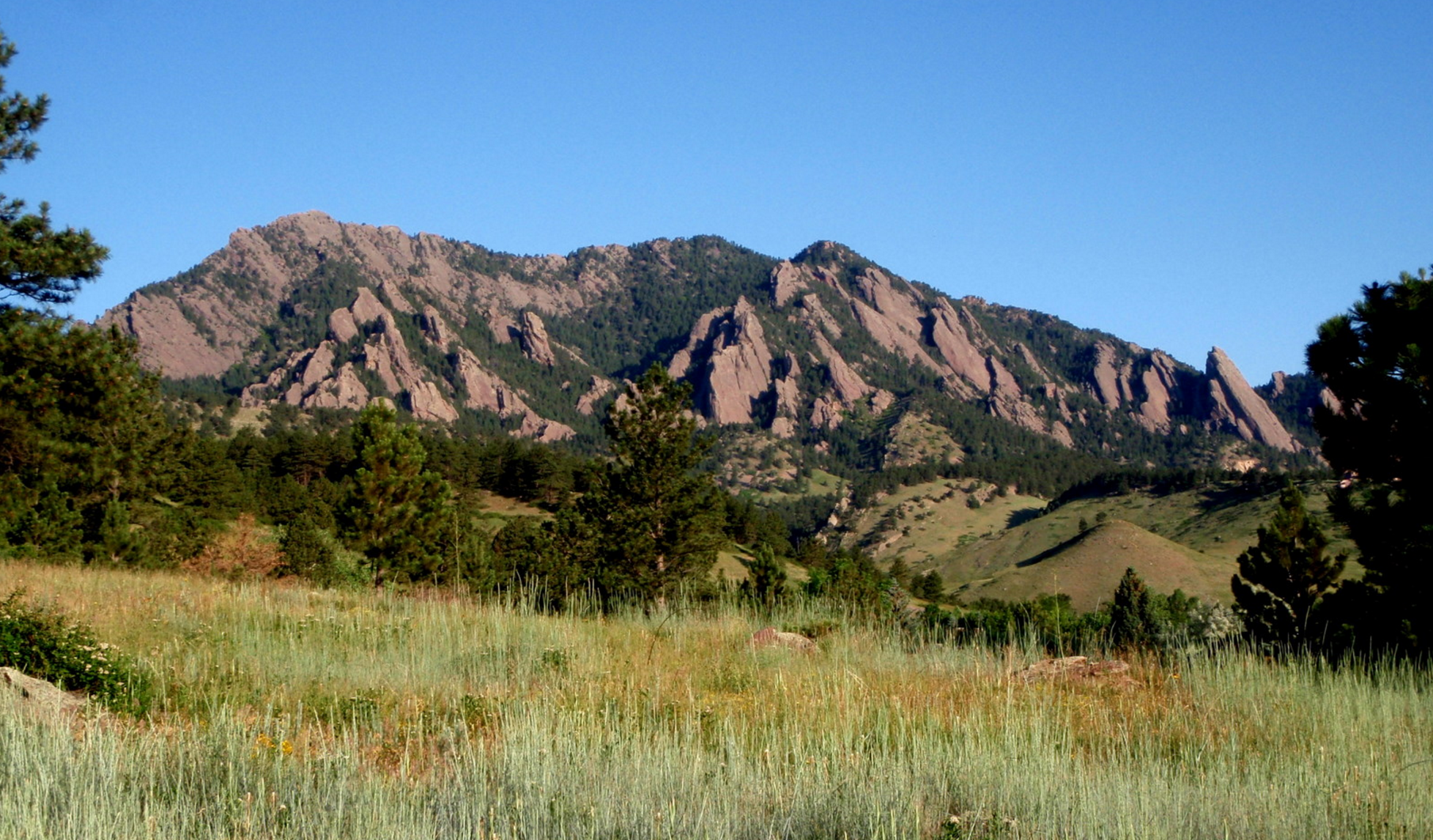
For the past several weeks, we have largely received the short end of the stick in regards to weekend weather. If it wasn’t rain, it was snow. If it wasn’t snow, it was the cold and fog. Mother Nature’s timing couldn’t have been more unfortunate, with storm after storm arriving promptly at the end of each work-week. However, this week we finally break this pattern as conditions quiet down and heat up across the Front Range. Continue reading for our full weekend outlook and when we expect the rain to return.
In the wake of a cold and soggy weekend, the main weather-player for the week ahead in Colorado will be a slow-moving trough across the western United States. It will facilitate continued precipitation for the Front Range, in the form of both rain and snow, through much of the week. However, warmth is on the horizon. Read on as we detail the forecast for the next seven days.
Following a weekend of unsettled and at times, stormy weather, this week will see precipitation chances gradually decrease and highs turning quite warm to end the week. However, there are hints of another active pattern for the coming weekend over Colorado. Read on for our full weekly forecast.
Our system remains on track to bring a smattering of rain and snow to northeast Colorado this evening into Saturday morning. We give our final forecast, including when it will rain, when it will change to snow, and how much white stuff everyone can expect.
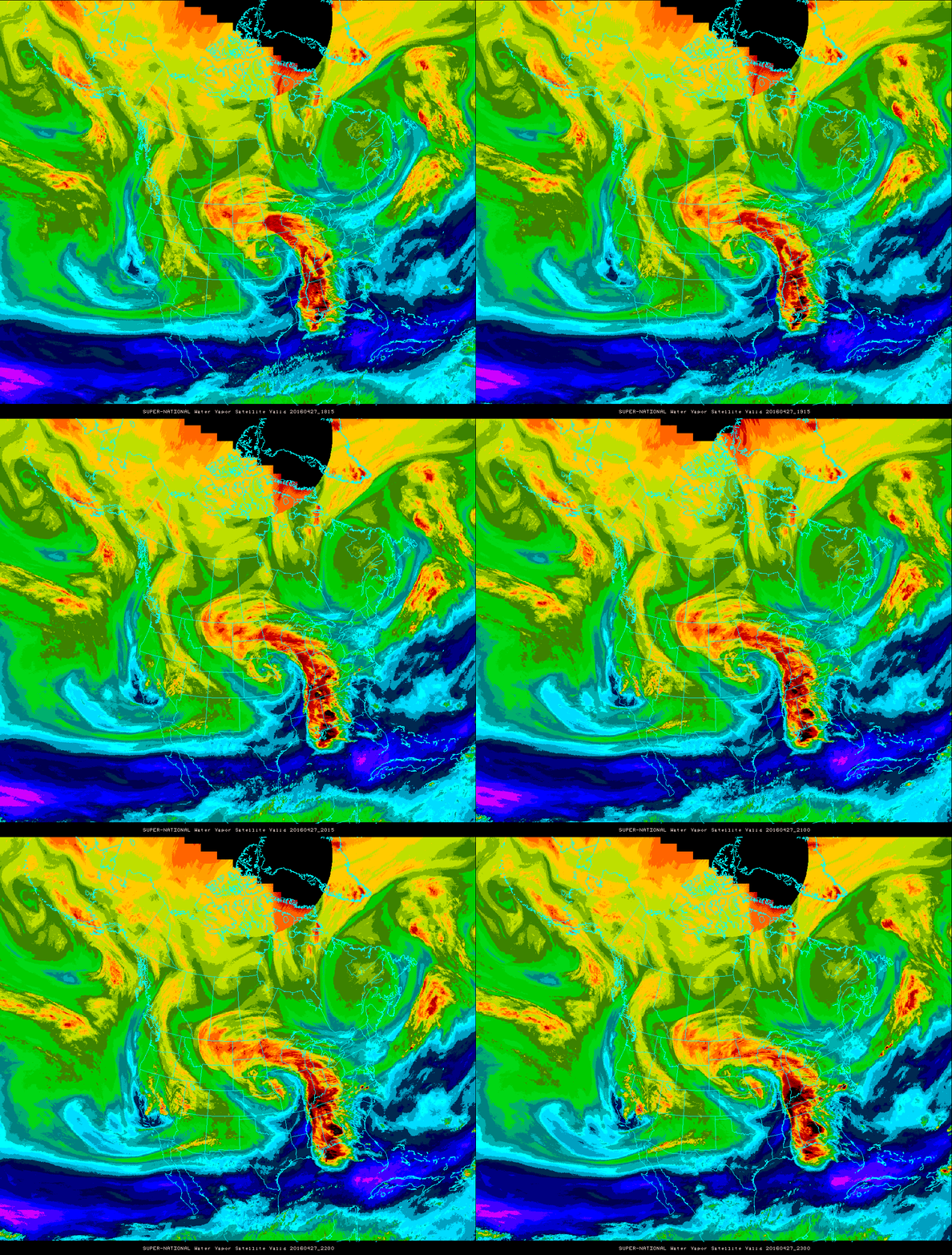
Yet another spring storm is eyeing northeast Colorado, poised to bring an extended period of rain and snow to the region Thursday afternoon into Saturday. The Foothills are set for another dumping of powder, but questions remain as to how much snow the Plains will be able to squeeze out.
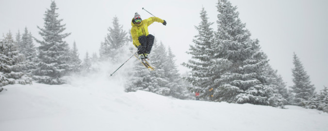
With a bulk of this winter’s snowfall now behind us, we’d like to take a moment to review the outcomes of our snowfall forecasts. From the early-season storm that flew completely under the radar, to the epic blizzards in late February and mid-March, it was a great year for powder across the Front Range! From the good, to the bad, to the downright ugly, we crunch the numbers to see how well our snowfall forecasts verified throughout the Denver Metro area across the entire winter season.
Live Radar

Trending Content


Recent Premium Posts

BoulderCAST Daily – Tue 11/10/26 | Clouds Increase Today, But Colorado’s Dry Pattern Rolls On
🌤️ A Few More Clouds Today – Mountain wave clouds are developing along …
BoulderCAST Daily – Sun 11/08/26 | Mild November Weather Continues, Even With A Cold Front Midweek
☀️ Sunny and warm for early November – Temperatures in the middle to …
BoulderCAST Daily – Sat 11/07/26 | A Pleasant Weekend With Dry Weather For a While…
☀️ Sunny and Pleasant – Highs in the lower 60s this afternoon trend …
© 2026 Front Range Weather, LLC
You must be logged in to post a comment.