
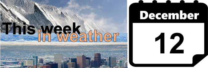
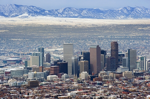
Get ready for a cold week! After relatively mild temperatures to end 2016, we’ll see the return of the winter chill along with chances for snow in the first week of the New Year. The mountains can expect to see FEET of snow throughout the week, while snow possibilities on the Plains are less and shrouded in a bit of late-week uncertainty. How cold will it get and what can we expect in terms of snow? Read on for our full forecast.
Category: Winter Weather (Page 124 of 139)
These posts contain some discussion of the white stuff, whether it be mountain snow pack or a Front Range snowstorm.
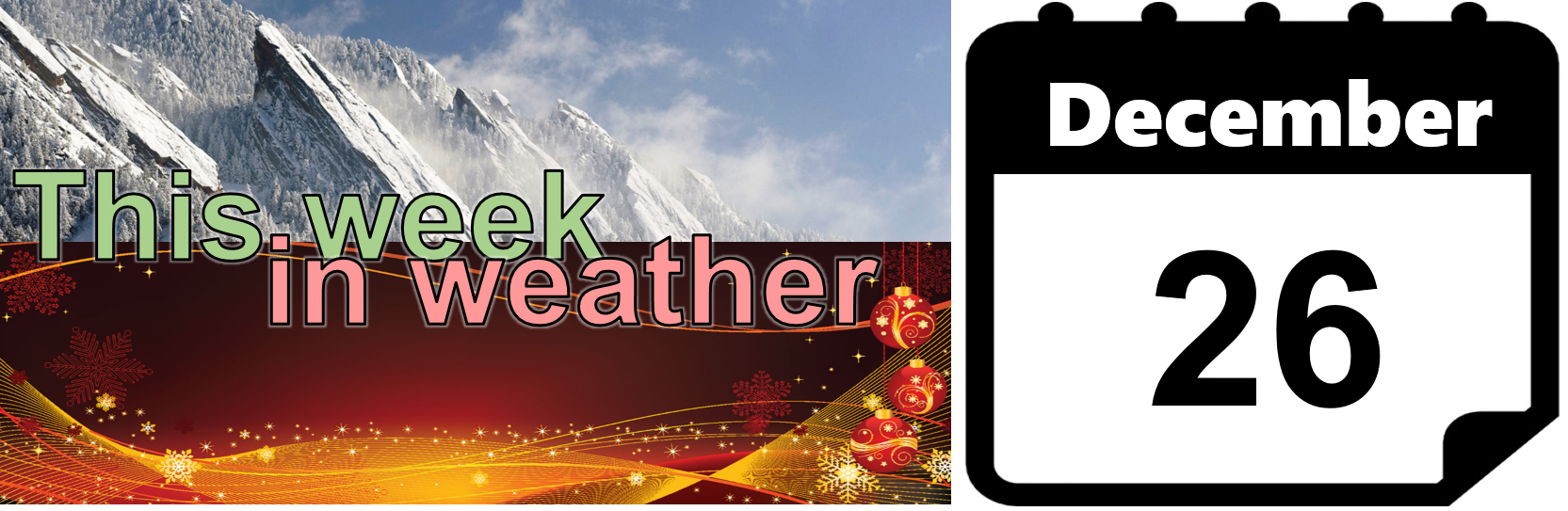
We hope you had a safe and festive holiday weekend! Please excuse the brevity of this week’s forecast. Overall, we’re not expecting much in the way of interesting or impactful weather this week anyways. Dry and warm conditions will prevail through Friday, with snow potentially arriving for the weekend and into early next week. Read on for our short and sweet outlook covering the upcoming week.

There is nothing quite as magical as snow falling on Christmas Day. We’ve gotten lucky the last two years in Denver with snow falling on Christmas in both 2014 and 2015. We explain the meteorological definition and provide our thoughts on the potential for a third consecutive White Christmas.
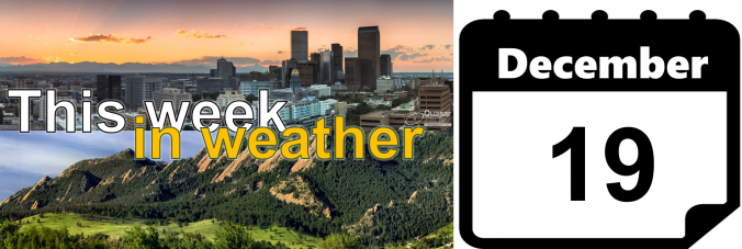
After polar air and snow this past weekend, a very nice warm up is in store for the first few days of the week. Overall, expect a rather benign week but the High Country should see more snowfall. In the extended, we’re watching a potential snow storm Christmas Eve/Christmas Day. We’ll discuss that and the week ahead. Read on to find out more.
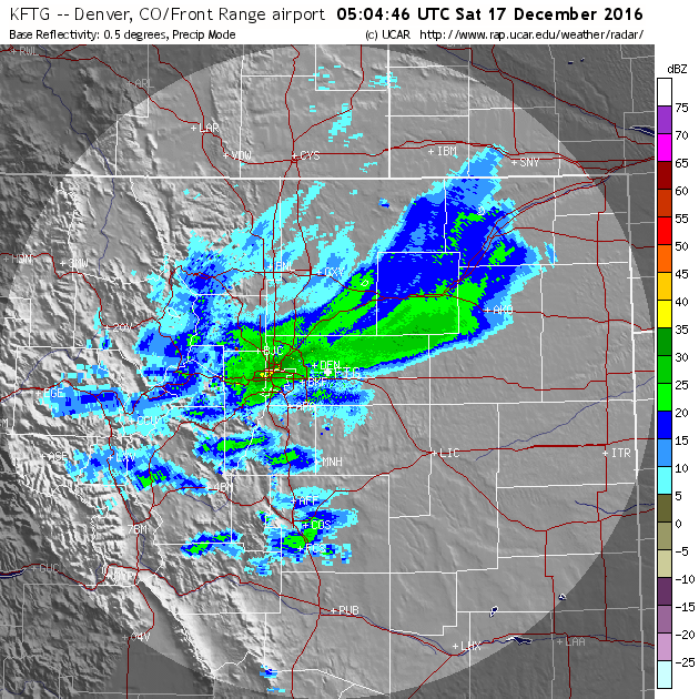
Thanks to a stationary band of heavy snow Friday night, many of you may have awoken to more snow than expected. We explain what happened overnight to produce 5-10″ of snow in parts of the Denver Metro area and also detail when we expect the Arctic chill to retreat.
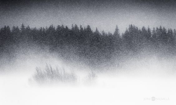
After downslope winds warmed us into the 60’s today, another shot of frigid air is headed for the Front Range Friday evening. Snow is commencing in the Mountains already, with the Plains in store for some snow as well. Read on as we detail the arrival of another quick-hitting Arctic system, including timing, snowfall amounts, and projected temperatures.
Our weather for the week ahead will be dominated by the overhead jet stream. This will provide strong northwest flow throughout the week, bringing more snow to the mountains and a slight chance of snow on the Plains. We’re also tracking a potential wintry event for the tail-end of the week. Continue reading for all the details.
We examine last week’s winter storm and review the snow totals and temperatures. Where does this leave us in relation to normal for the 2016-2017 winter season? Read on to find out.

Live View of Boulder

Current Conditions

Live Radar

Recent Premium Posts

BoulderCAST Daily – Sat 06/06/26 | Isolated afternoon storms as the heat continues
🥵 Middle 90s dominate today and Sunday 🌩️ Front Range storms each afternoon/evening …
BoulderCAST Daily – Fri 06/05/26 | A streak of 90s set in through the weekend
🥵 A streak of 90s today through the weekend with low to middle …
This Weekend in Colorado Weather: Early-Season Heat Ramps Up — First 90s of the Year on the Horizon
🌬️ West–northwest flow Thursday supports high‑based convection with gusts to 35 MPH; virga …
3-Day Forecast

Trending Content

© 2026 Front Range Weather, LLC