*This contest is now closed to entries. Keep an eye out as we’ll be doing more contests in the future*
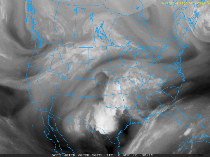
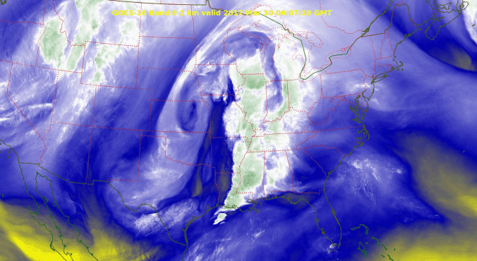
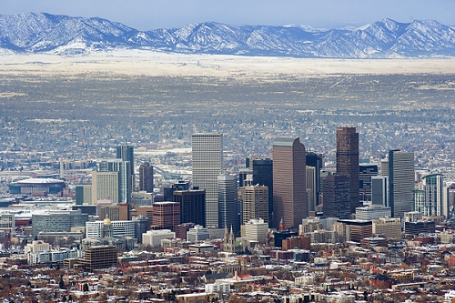
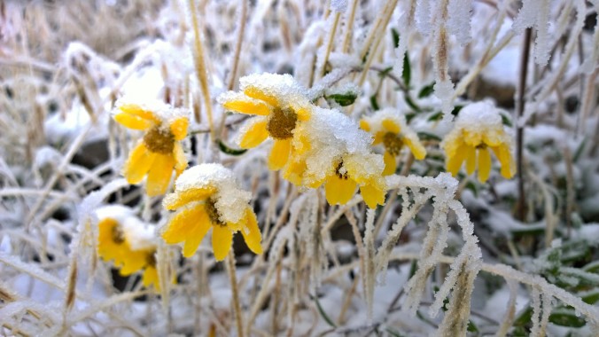
We provide a brief climatology for late-season snowfall in Boulder and then pose the question…”How much more snowfall will Boulder see in the 2016-17 snow season?” Submit your guess for a chance at several prizes. Those who get closest to the exact amount win. Read on for all the details.