Category: Winter Weather (Page 115 of 139)
These posts contain some discussion of the white stuff, whether it be mountain snow pack or a Front Range snowstorm.
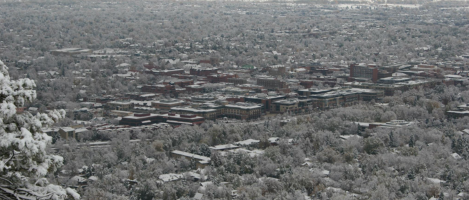
This week starts off clear, calm, and unseasonably warm for the shortest days of the year. The exciting news is there is a potential snow storm in the works for Thursday! It’s no perfect storm, but we’ll take what we can get at this point. Models are indicating temperatures could stay cold enough until Christmas to maintain snow cover, especially in the shade, with a second shot for snow and much cooler temperatures over the weekend in case you’ve been dreaming of a white Christmas.
Changes to the forecast bring the return of accumulating snow to the Front Range. We detail when we expect the snow to start and how much will fall.
The week ahead looks rather tranquil with high pressure primarily in control. A few weak cold fronts will push across the state to create swings in temperatures between the 50’s and 60’s. The extended outlook shows a possibly more active pattern going for next week. Read on for more details.
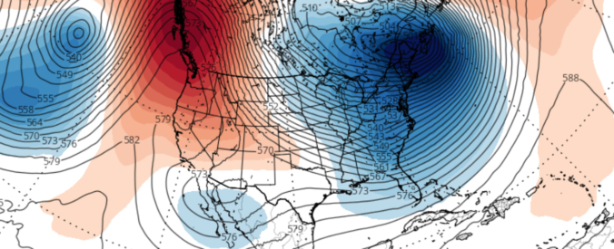
We discuss the forecast for snow on Thursday and how the weather pattern is shaping up heading into the holiday season.
The month of November wrapped up as the second warmest on record in Boulder. During the month, we had ten 70+ degree days, but only one with a high temperature below 40 degrees. The remarkable warmth of late will NOT continue for the week ahead, unfortunately. Continue reading as we detail the forecast for the next seven days.
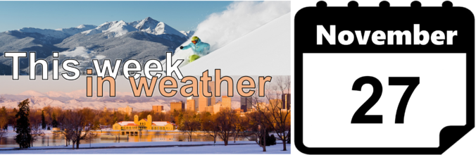
As we enter the last week of November, temperatures continue their above normal stretch on this Monday. The week ahead will feature a series of two systems moving through, each of which will produce swings in temperatures, as well as the very slight chance of rain and snow showers. Read on as we detail the week and look into early December’s outlook.

This week’s weather will be rather tranquil, with temperatures overall above average for this time of year. However, we are watching a cold front for Wednesday and a trough late in the week that could bring snowfall to the region. We detail all this and more in our weekly outlook for the third week of November.

Live View of Boulder

Current Conditions

Live Radar

Recent Premium Posts

BoulderCAST Daily – Sat 06/06/26 | Isolated afternoon storms as the heat continues
🥵 Middle 90s dominate today and Sunday 🌩️ Front Range storms each afternoon/evening …
BoulderCAST Daily – Fri 06/05/26 | A streak of 90s set in through the weekend
🥵 A streak of 90s today through the weekend with low to middle …
This Weekend in Colorado Weather: Early-Season Heat Ramps Up — First 90s of the Year on the Horizon
🌬️ West–northwest flow Thursday supports high‑based convection with gusts to 35 MPH; virga …
3-Day Forecast

Trending Content

© 2026 Front Range Weather, LLC