Category: Verification (Page 55 of 61)

These posts take a look back at recent weather events, like snow storms or severe weather outbreaks, and evaluate how the forecast played out. We evaluate how well the models predicted what actually occurred, and offer insight into what can be learned and applied moving forward.

El Niño update and the outlook for the second half of winter

sstaanim

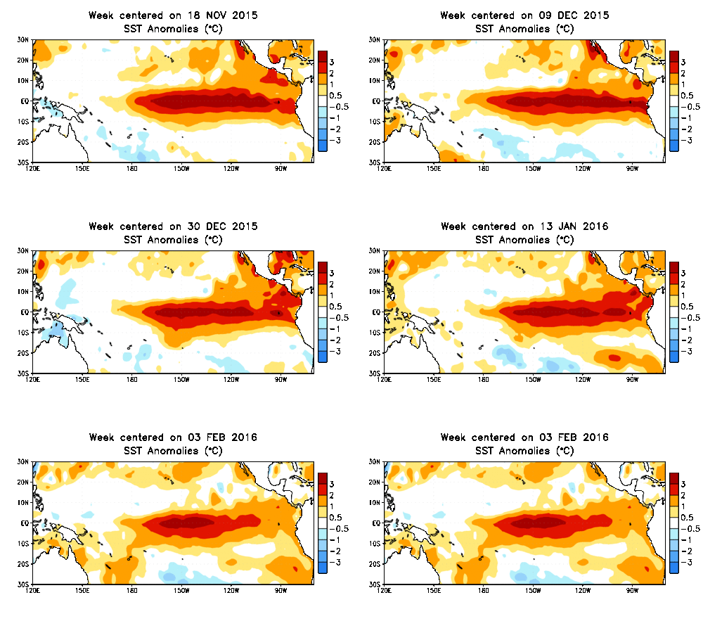
On paper, the 2015-16 super El Niño became everything that it was forecast to be, with water temperatures across the equatorial Pacific Ocean warming to near-record levels. However, the location and extent of the warming, and the global impacts, have been anything but typical. We discuss how well our last El Niño forecast verified and the outlook for the remainder of our winter season. What can Boulder expect in the way of precipitation, snowfall, and temperatures heading forward? Read on to find out.
Continue reading

Mid-winter Colorado snowfall briefing

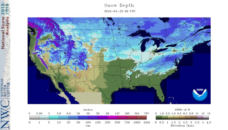
Are you beginning to anticipate those hot, sunny, and at times, stormy summer afternoons? You’re definitely not alone. Winter in Colorado can be long, with snow possible (and dare I say, common) nine months out of the year, even on the Plains. Following our biggest single-storm snow event in nearly three years, we check in on our snow totals and mountain snowpack thus far for the 2015-16 winter season.

Continue reading

Why was this week’s snowstorm so easy to predict?

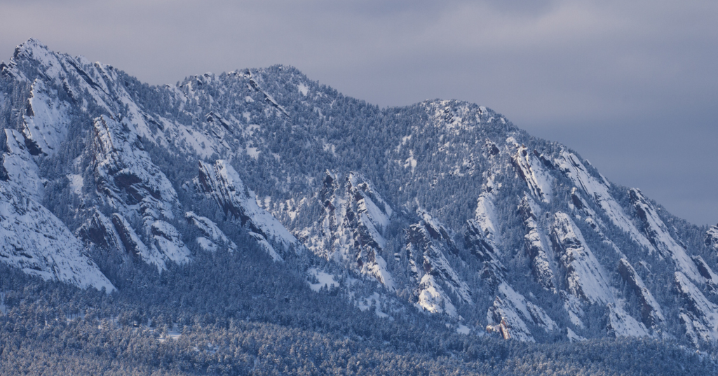
Boulder_Flatirons_snow

Two weekends in a row, forecast models get to pat themselves on the back for accurately predicting major snowstorms more than seven days in advance. While this is a great showcase for the advancement of modern numerical weather prediction, it shouldn’t be considered a common occurrence. Model uncertainty, especially that far in advance, is still very large. After all, weather is the poster child for chaos theory!

As this week’s storm slid across the North Pacific Ocean on it’s way to Colorado, we were hesitant to inject any definitive snowfall amounts into our forecasts. Remarkably, looking back, if we had to issue a forecast a week ahead of time, it wouldn’t have looked all that different from our snowfall map the day before. We explain why this storm was a relatively easy forecast, and issue a few words of caution as we head through the second half of our winter season.

Continue reading

The week ahead: February 1-5, 2016

All eyes are on a strong winter storm that is affecting Colorado, the Midwest, and the Great Lakes. Below shows the National Weather Service watches and warnings for the United States, demonstrating the large influence this storm will have today through mid-week. Areas of Colorado will see over a foot of snow, with 1 to 2 feet across Nebraska and Iowa with blizzard conditions …

The week ahead: January 18-22, 2016

Colorado_mountain_snow_denver

After a chilly and exciting weekend (Go Broncos!), the week ahead will entertain the continuation of our recent weather pattern.  Weather systems will be frequent, quick-moving, and weak, with the Mountains reeling in more snow. Seasonal and mostly dry conditions will dominate the Plains. Continue for full details.

Continue reading

« Older posts Newer posts »