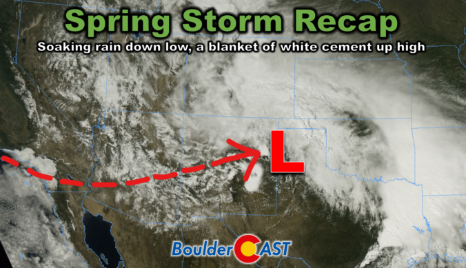
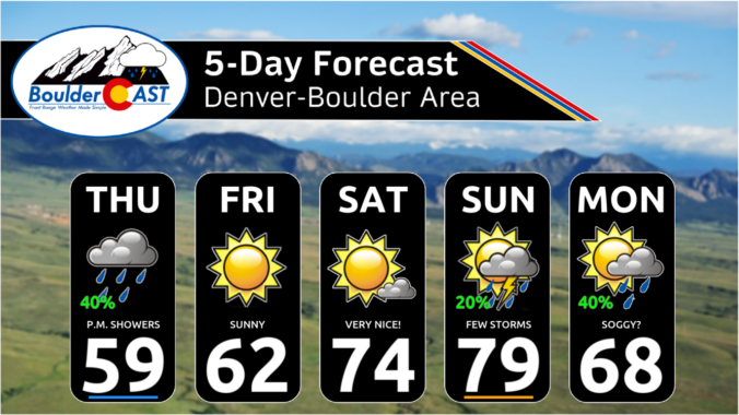
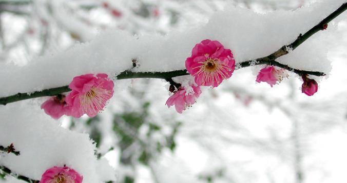
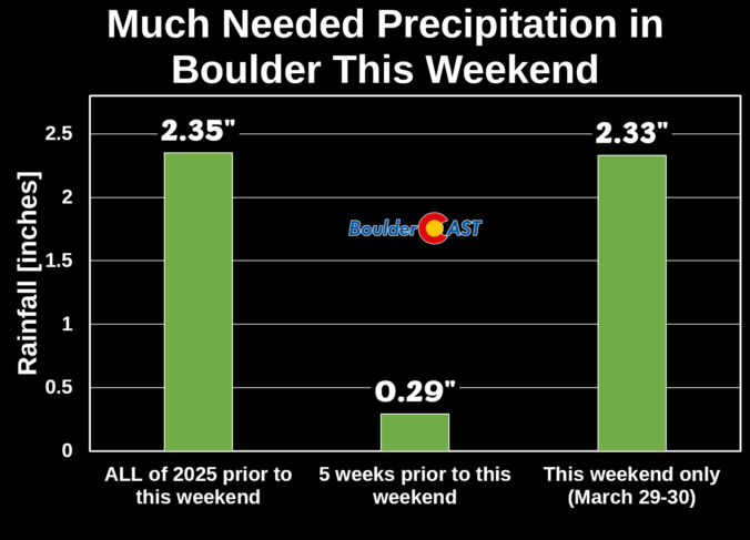
This week’s slow-moving spring storm drenched the Boulder-Denver area with widespread soaking rain, while elevations above 7,500 feet were blanketed in dense, heavy snow. As the storm begins to wind down, we take a look at how it unfolded and review the final rain and snow totals.
Category: Verification (Page 4 of 51)
These posts take a look back at recent weather events, like snow storms or severe weather outbreaks, and evaluate how the forecast played out. We evaluate how well the models predicted what actually occurred, and offer insight into what can be learned and applied moving forward.
The sun is out Saturday morning and already working quickly to melt our most recent round of late-season snow in the Front Range. We briefly review the snowfall totals which greatly favored the western side of the Metro area including Boulder. We also tackle the question of whether this will be our final snowfall of the season or not.
After a round of light rain and snow overnight, quiet weather will ensue for the Front Range through midweek with limited chances for rainfall and temperatures trending upwards. However, our main focus is towards a soggy late-week storm system which will bring widespread rain and snow to the area. While still somewhat uncertain, several inches of spring snow are looking increasingly likely for us, even across the lower elevations. Read on for all the details.
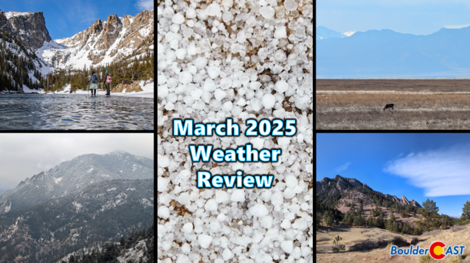
March 2025 Graphical Weather Review: A warm and mostly dry month with nearly no snow, but the final weekend was a soaker!
March 2025 was characterized by warm temperatures and largely dry conditions in the Front Range. The month saw a mix of seasonal weather patterns, including occasional gusty winds and a few minor snow events. While March finished as one of our all-time least snowy on record, the region experienced a much-needed deluge of rain during the final weekend of the month which will help to stave off drought for a little while longer. Here’s a quick and colorful graphical recap of our weather during March and how it relates to climatology.
Thanks to multiple rounds of steady rain, a hail-producing thunderstorm, and even a few snowflakes, Boulder has remarkably received about as much precipitation this weekend as we’ve seen in all of 2025 combined beforehand! We review the rain (and snow!) totals across the area and discuss briefly what unfolded over the last 36 hours during what was a rather atypical spring storm.
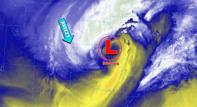
*Premium* BoulderCAST Daily – Wed 03/19/25 | Lingering northwest flow keeps us gusty & chilly in the Front Range today
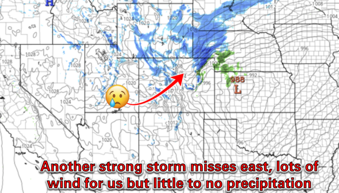
*Premium* BoulderCAST Daily – Tue 03/18/25 | Near-critical fire conditions ahead of an afternoon cold front, minimal precipitation chance as another storm misses east
© 2025 Front Range Weather, LLC

