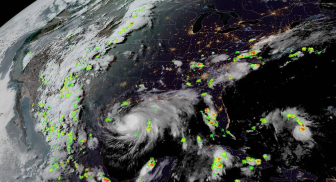
Will July 2020 be Boulder’s driest on record? Now that the monsoon has finally begun in Colorado, will it last? How does lightning form and what are the ways we measure it? Listen to find out!
Category: Tropical Weather (Page 12 of 19)
Hooray! Monsoon season has just begun and the beneficial rains are already on the way to Colorado! We take a look at the current monsoonal pattern, the cool and wet forecast for the next five days, and why we think the rainy pattern won’t last long.
It’s been a brutally hot and dry month of July thus far. The monsoon is yet to materialize for the southwestern United States, but it won’t stop rain chances from increasing this week across the Front Range due to an influx of subtropical and even tropical moisture. Temperatures will remain rather warm, but not quite as hot as the last few weeks. Let’s take a “big picture” look at the week ahead.
Brace for the heat wave! A strong ridge of high pressure will dominate our weather pattern for the next seven to ten days. Temperatures through the week will push well into the 90’s each and every day with perhaps a few triple digit readings later this week as well.

Colorado Monsoon Update: Southern portion of the state in severe drought, the monsoon may be delayed
Have you noticed the drop in visibility across the Front Range over the last few weeks? This haziness is actually smoke from a handful of wildfires burning hundreds of miles to our southwest. This may only be a taste of things to come later this summer as parts of southern Colorado and the Intermountain West have recently shifted into the penultimate drought classification. We provide an update on the hydrological situation and explain why we believe the monsoon will arrive late to Colorado this summer.
Thanks to the interplay between a potent trough and ridge, our temperatures will soar into the 80’s to start the third week of May, followed by a late-week “cool” down. Weather stays overall dry but there is some severe weather potential to speak of for eastern Colorado.
Two strong Pacific storm systems are moving ashore this week but unfortunately will pass mainly north of Colorado. This will result in continued warm conditions with little opportunity for rainfall or Mountain snow as we conclude the summer season.
This week we discuss what caused the heatwave over the long weekend and what will end it abruptly on Tuesday. We also take a look at our daily chances for thunderstorms the rest of the week.
© 2026 Front Range Weather, LLC


