


The recent trend of dry and mild weather will continue , with little in the way of interesting happenings this week. Read on to find out when we will have our next chance at snow.
These weekly forecast posts are published EVERY Monday morning and provide a general overview of the atmosphere and the weather conditions for the week ahead in Front Range Colorado. We give you a heads-up on the major short-term weather features and anything looming down the road.
The recent trend of dry and mild weather will continue , with little in the way of interesting happenings this week. Read on to find out when we will have our next chance at snow.

After nearly a week of below freezing temperatures, including a frigid and snowy Thanksgiving, the weather will make a turn for the better during the upcoming week with temperatures rising into the 50’s. Read on to find out when the warm-up arrives!
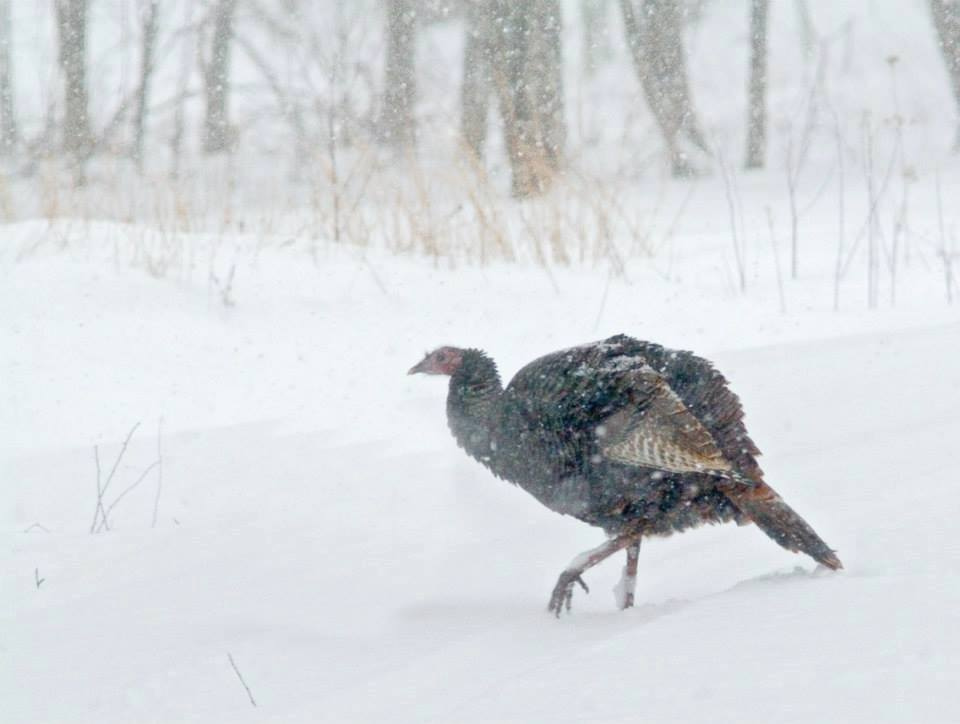
With Turkey Day nearly upon us, this week’s forecast will feature another chance of snow and our first dose of Arctic cold air. We have high confidence that just about all of Boulder County is in store for a white Thanksgiving. Read on for all the frigid details!
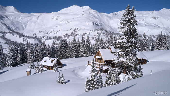
After a tranquil weekend, the weather pattern turns more active again with our next shot of snowfall this evening into tomorrow morning. This is all thanks to another potent low pressure system coming out of the Eastern Pacific Ocean. How much will we get? What will the rest of the week feature? Read on to find out more details!
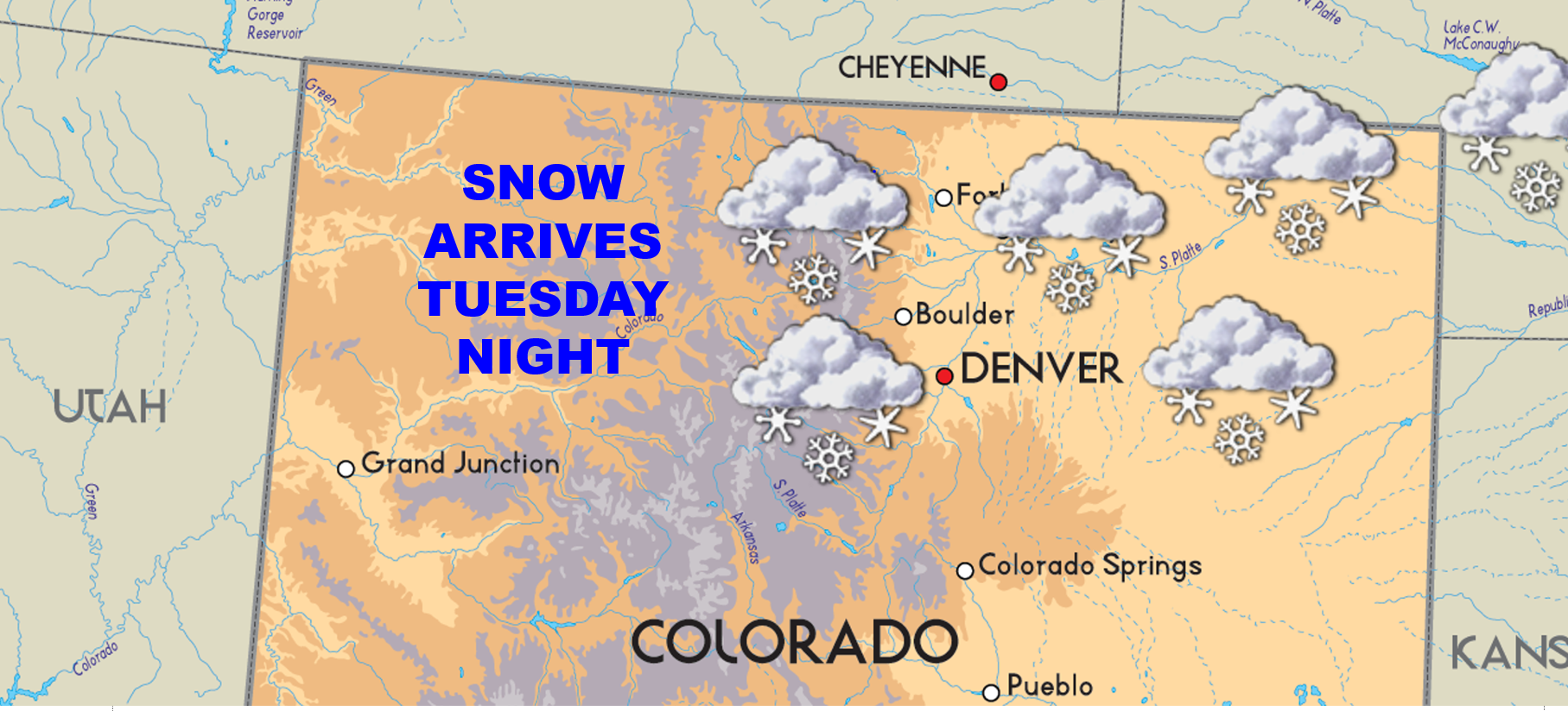
After near record warm conditions thus far this fall, things are finally starting to feel like winter. Yesterday saw temperatures dip into the low 20’s during the morning hours (the coldest so far). Brrr! We also had our first snow of the season last Wednesday night. Way to go Boulder! Were you awake between midnight and 3am to see a few wet flakes mixing in with the rain? Looking to the week ahead, a powerful storm system will develop just to our southeast, bringing the likelihood of snow once again to the Front Range. Read on for all the wintry details!
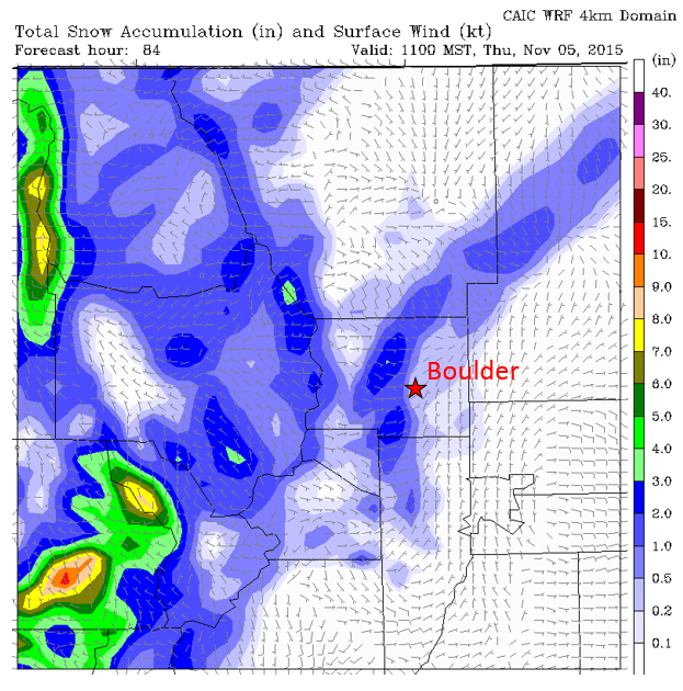
We couldn’t have asked for a better Halloween weekend, with partly sunny skies skies and temperatures in the upper 60’s and low 70’s. We review October’s weather, and look ahead to an unsettled weather pattern for the week ahead. We may have dodged a bullet last week with regards to the season’s first snow; however, it doesn’t appear we will be quite as fortunate this go-round!
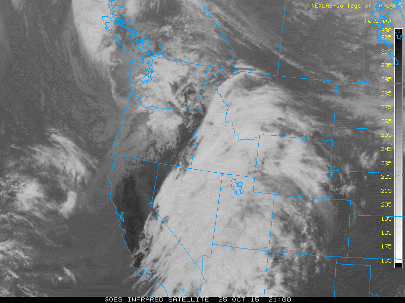
After a very tranquil and mild weekend with temperatures in the upper 60’s, this week’s weather will be cooler and more seasonal. We start off the week under cloudy skies due to an upper level system in the Pacific Northwest. The pattern then turns more active late in the week, with even the potential for a few snowflakes. Continue reading for all the details!
Through October 18th, Boulder is sitting nearly 10 degrees above normal for the month of October. This week will aim to change that trend, with a drastic cool down and the return of precipitation to the region.











© 2026 Front Range Weather, LLC
You must be logged in to post a comment.