
Two strong Pacific storm systems are moving ashore this week but unfortunately will pass mainly north of Colorado. This will result in continued warm conditions with little opportunity for rainfall or Mountain snow as we conclude the summer season.
Category: This Week in Colorado Weather (Page 41 of 68)
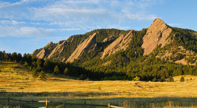
These weekly forecast posts are published EVERY Monday morning and provide a general overview of the atmosphere and the weather conditions for the week ahead in Front Range Colorado. We give you a heads-up on the major short-term weather features and anything looming down the road.
Damaging hail fell across northern portions of the Metro area Wednesday evening. The storm system responsible is already out the door, with a lengthy period of sunshine about to overtake our forecast.

This week we discuss warmer than normal temperatures through Wednesday, followed by slightly cooler weather to end the week. As something to look forward to, the upcoming weekend is shaping up to be rather pleasant!
This week we discuss what caused the heatwave over the long weekend and what will end it abruptly on Tuesday. We also take a look at our daily chances for thunderstorms the rest of the week.
This week will feature a figurative roller-coaster ride in temperatures across Colorado. This is thanks to the first fall-like storm system of the year scooting across the northern United States. It will be predominately dry for us, but rain chances do return late in the week.
Near record heat will transition to cooler temperatures through the week. Read on to find out when a cold front will arrive and which day holds our best chance of rain.
A change to the weather pattern has taken place early this week with a noticeably drier airmass establishing itself across Colorado and the monsoon moisture plume redirected well to our east. Ultimately this will translate into a drier and warmer period in the near-term.

We begin the first full-week of August on the hot side but trend slightly cooler as the week wears on thanks to monsoon moisture returning back into the area from the southwest. Read on for more details.

Live View of Boulder

Current Conditions

Live Radar

Recent Premium Posts

BoulderCAST Daily – Wed 01/14/26 | A gorgeous Wednesday ahead of increasing fire danger & a stronger cold front tomorrow
🌬️ Weak front overnight — A weak cold front slipped through around 9:30 …
BoulderCAST Daily – Tue 01/13/26 | A thick blanket of high clouds won’t stop us from reaching the 60s again
☁️ Thick cloud deck overhead — Moisture streaming in aloft brings widespread mid‑ …
BoulderCAST Daily – Sun 01/11/26 | A mild Sunday with readings reaching the 50s
🌤️ Mild & Melty Sunday: Light winds and patchy clouds, with lingering snowpack …
3-Day Forecast

Trending Content

© 2026 Front Range Weather, LLC