Category: Severe Weather (Page 3 of 21)
The posts contain discussion of severe weather in our region, including forecasts, outlooks, and recaps of events involving large hail, damaging winds, and tornadoes.
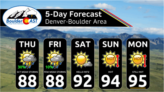
Colorado’s scorcher of a weekend is finally giving way to cooler, stormier skies—and not a moment too soon. After record-breaking highs in Boulder and Denver, a refreshing cold front kicks off the week with below-normal temps and a solid chance for showers and storms, especially Tuesday when things could turn severe. But don’t get too cozy—the heat will make a comeback late in the week into the weekend. Here’s what you need to know about Colorado’s weather during this final week of June.

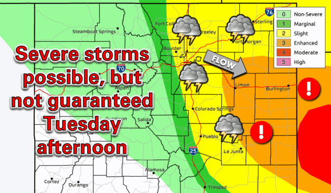
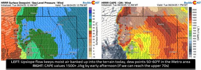
The anticipated reprieve from the heat has arrived! Low clouds blanket the Front Range Tuesday morning, and exactly how quickly they burn off today will be the key to unlocking explosive severe thunderstorm development this afternoon over our area. We discuss the latest forecast details surrounding the severe risk today, including our team’s lingering concerns, the timing of the risk, and which areas stand the best chance to see big hail Tuesday afternoon.
Record-breaking temperatures will be the story this week in the Front Range, though there’s plenty more to discuss. While a brief cooldown is on the way Tuesday, it comes with a catch—a chance for severe storms, depending on how quickly low clouds clear up. Then, just as we get a break, another scorching heatwave arrives on Thursday through the upcoming weekend, with several days of triple-digit temperatures that will shatter records. Let’s dive into the details.

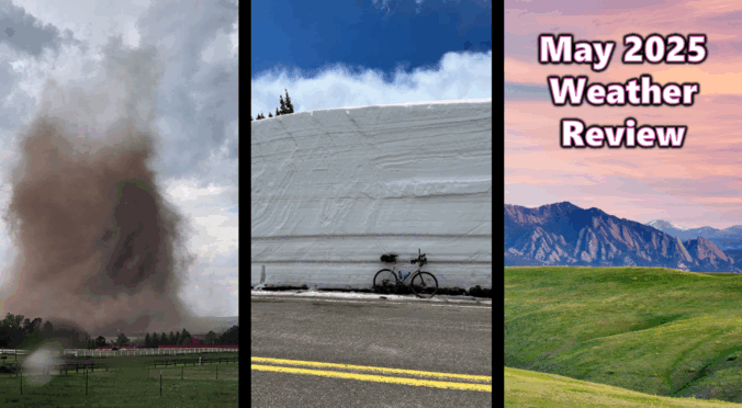
May 2025 brought cool, rainy days to the Front Range, nurturing lush, green landscapes ahead of what is expected to be a hot and dry summer. The month also featured striking weather events, including a few picturesque tornadoes nearby and multiple rounds of snow blanketing the high Foothills. Here’s a quick and colorful graphical recap of our weather during May and how it relates to climatology.

Live View of Boulder

Current Conditions

Live Radar

Recent Premium Posts

BoulderCAST Daily – Fri 01/09/26| Snow ends quickly this morning with a quieter weekend in store
❄️ Overnight snow bands: A second push of upslope after midnight sparked narrow …
BoulderCAST Daily – Thu 01/08/26 | Snow develops today but still some uncertainty, amounts have been lowered
❄️ Snow develops today: Snow develops today, but uncertainty still lingers with two …
BoulderCAST Daily – Wed 01/07/26 | Quiet today but snowflakes are on the horizon tomorrow
⛅ Quiet Weather Today: Highs will be mild in the upper 50s in …
3-Day Forecast

Trending Content

© 2026 Front Range Weather, LLC