

Category: Premium Content (Page 282 of 452)

This content is for Premium Members only.
*Premium Exclusive* An early look at the Presidents Day snow potential

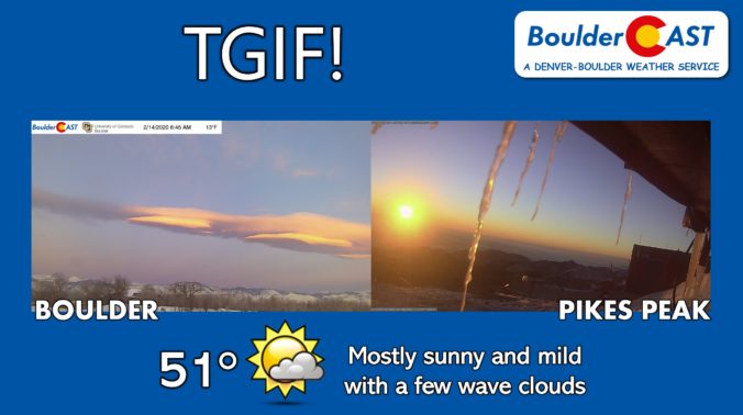
Happy Friday! A nice shift to downslope today will help to scour out the lingering cold and polluted Arctic airmass across the Front Range. After a morning low of just 13 degrees at BoulderCAST Station, we're forecasting a high in the lower 50's this afternoon with light winds and just a few wave clouds filling the skies. As nice as …

DayCAST: Fri 02/14/20

Happy Valentine's Day!! We hope that you have a wonderful time with your spouse/significant other, etc. tonight. Make him/her feel extra special. Great weather for the holiday as well. While the atmosphere is still active, we are mostly quiet in our neck of the woods. In the upper-levels, the jet stream is to our north over the Upper Midwest and …

DayCAST: Thu 02/13/20

Just a plain old cold Thursday Today will be cold overall as most of our state has been enveloped by a very cold airmass following the strong front that moved through yesterday. Lingering clouds and even some fog overnight has helped keep our overnight temperatures from falling too far. The Boulder area is in the upper teens, with low to …

DayCAST: Wed 02/12/20

Today will be snowier than previously expected We've been discussing the dearth of model agreement on solutions to handle the incoming shortwave for a few days now. The storm system doesn't look like much at 500mb....just a weak trough dropping southward out of Montana and into Colorado. However, at the surface, a very cold Arctic airmass will surge southward into …

DayCAST: Tue 02/11/20

Snow wraps up before sunrise, cold lingers The cold front last night and a passing trough provided just enough lift to produce a round of widespread light to moderate snowfall across the Metro area. The window was brief, however, and snow will quickly be coming to an end before sunrise this morning. Your location likely picked up a few inches …

DayCAST: Sun 02/09/20

After a somewhat pleasant day across the area on Saturday, colder air has returned for the Front Range. Highs will only reach the upper 20's today thanks to a cold front that dived down over the area last night. Cloud cover and light snow today will also keep us on the cold side. Below shows the mid-level pattern across the …

DayCAST: Sat 02/08/20

Well, Mother Nature doesn't take a break does she?? After a snowy Thursday and Friday, the atmosphere decides it wants to turn the tables again on the weather. Expect an uptick in temperatures today before returning back into the cold late tonight and Sunday. As mentioned in our DayCAST on Friday, we were concerned that Chinook winds may reach the …

« Older posts Newer posts »
