Category: Premium Content (Page 234 of 452)

This content is for Premium Members only.
BoulderCAST Daily – Tue 03/16/21 | Areas of fog early, then spotty light snow through the day & tonight

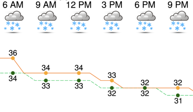
DDetailed Forecast Discussion: ense Fog Advisories are posted this morning for most of northeast Colorado with the fresh snowpack on the ground. However, based on observations, the worst of the fog is quite spotty and located well east of the Denver Metro area. Nonetheless, don't be surprised to see some patchy freezing fog this morning with reduced visibilities. A secondary …

BoulderCAST Daily – Sun 03/14/21 | Snow continues, with heaviest period into early evening

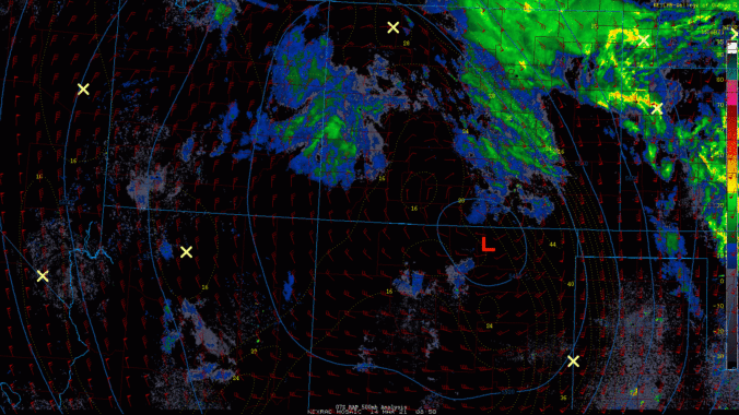
LDetailed Forecast Discussion: atest surface and radar analysis reveals the circulation center of the snow storm is somewhere around the southern tip of central Colorado. The latest snowfall reports as of 4 AM local time showed anywhere from roughly 3 to 7 inches across the Denver and Boulder portions of the Front Range, with the highest totals (~ 7") at …

BoulderCAST Daily – Sat 03/13/21 | Heavy snow expected today

CDetailed Forecast Discussion: urrent Water Vapor Satellite Image shows the mid-level circulation of the snow storm currently loosely disorganized over northwest Arizona and southwest Utah. Moisture is still primarily located around the storm center and over southeast Colorado, Kansas, and Missouri. This moisture should start to shift toward the Front Range as upslope beings to intensity, roughly late morning to …

BoulderCAST Daily – Fri 03/12/21 | Mostly quiet before the snow

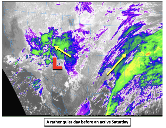
ADetailed Forecast Discussion: s of this morning, the mid-level low pressure system poised to bring potential historic snow is located over the far southern tip of Nevada, as depicted in the satellite image. The mid and high-level clouds tied to more deeper moisture and precipitation is located over southwest Utah, central Nevada, as well as northern Texas, Oklahoma, and Kansas. …

BoulderCAST Daily – Thu 03/11/21 | A slight delay in the winter storm but still expecting feet of snow

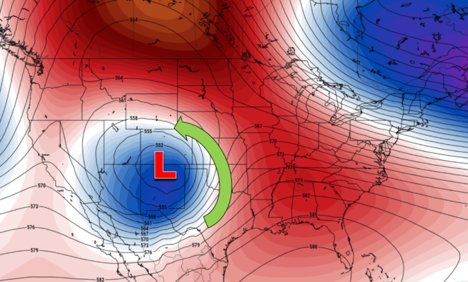
TDetailed Forecast Discussion: he much anticipated winter storm is nearing closer, but we still have about 48 hours of comparatively mundane weather to discuss beforehand. Despite the huge approaching trough, there is a slight "bump" in the height fields over Colorado today which is an embedded shortwave ridge. This will facilitate mostly quiet conditions through the day for eastern Colorado. …

BoulderCAST Daily – Wed 03/10/21 | Much cooler today, heavy snow on-track Friday into Sunday

ADetailed Forecast Discussion: light rain/snow mix developed quickly overnight producing a dusting of snow in some locations, including downtown Boulder (shown below). Considering the last several days have been in the 60's and it remained above freezing overnight, the snow that accumulated is very wet and didn't really stick much to the sidewalks or roadways. There will be no travel …

BoulderCAST Daily – Tue 03/09/21 | Last 60-degree day, an update on “the” storm

CDetailed Forecast Discussion: louds will be on the increase today as the cut-off low pressure system edges closer to the Pacific Northwest. This morning's GOES-East infrared satellite animation tells the story. The cut-off low is well of the coast of Oregon. However, an expansive area of southwest flow exists out ahead of the system across the Rockies. You can also …

« Older posts Newer posts »