Category: Premium Content (Page 208 of 452)

This content is for Premium Members only.
BoulderCAST Daily – Tue 10/19/21 | A cool & gusty day with very light Mountain snow

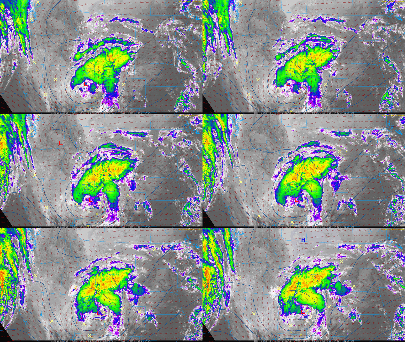
ADetailed Forecast Discussion: strong closed-low pressure system will move along the Colorado-Wyoming border through the day with a track that will downslope our entire area. This morning's GOES-East infrared satellite animation shows the storm spinning across central Utah. It will move northeastward and be over Cheyenne by this evening. This is the GFS 500mb height forecast for 6PM tonight. Outside …

BoulderCAST Daily – Sun 10/17/21 | Highs a category or two higher in the low to middle 70s

TDetailed Forecast Discussion: he ridge of high pressure, noticeable on the upper-level height and wind pattern below, will remain in place and build eastward today. That will spell out another sunny afternoon. There is another system that will move onshore into California later today and tonight, but won't actually reach us until late Monday into Tuesday. The map below shows …

BoulderCAST Daily – Sat 10/16/21 | Gorgeous weather the entire weekend

TDetailed Forecast Discussion: he entire weekend looks spectacular with crystal clear skies and rising temperatures. A ridge of high pressure settles over the Four Corners today and largely remains in place through Sunday. Today's highs will reach the mid to upper 60s, while tomorrow's high warm further to the low to middle 70s. Our next potential weather system approaches late …

BoulderCAST Daily – Fri 10/15/21 | The rising temperature trend starts today

TDetailed Forecast Discussion: he trough of low pressure which brought snow to Colorado has shifted off to the east into the Midwest (below). In its wake, a slowly eastward moving ridge, currently offshore of California, will make its way into the state tonight and for the weekend. That is going to spell out rising temperatures the next few days, with …

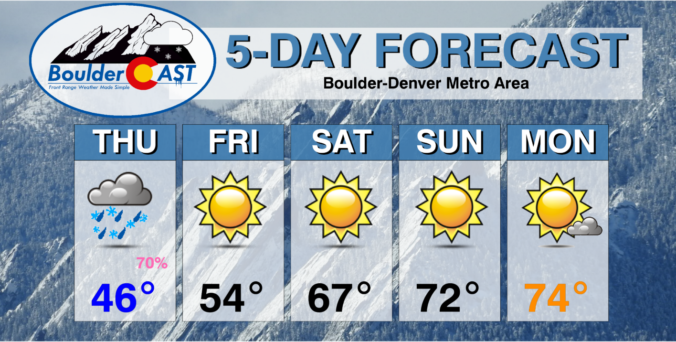
BoulderCAST Daily – Thu 10/14/21 | A brief shot of light rain/snow today, much more pleasant for the weekend ahead

TDetailed Forecast Discussion: oday's disturbance comes in the form of a weak and quick-moving trough that will drop across the state from the northwest. The precipitation potential from this system has declined in the models over the last few days, but we're still expecting a brief round of rain and snow showers to impact the area later today. There's only …

BoulderCAST Daily – Wed 10/13/21 | A lull the action today, but watch for a mix of rain/snow tomorrow

WDetailed Forecast Discussion: ho would have guessed that the best thunderstorm of the year in Boulder would hit in mid-October? Well, that might not be true, but a decent little line of storms did push across the Denver Metro area last evening with moderate rainfall, gusty winds, accumulating graupel (not hail or snow!) and possibly some actual snowflakes mixing in. …

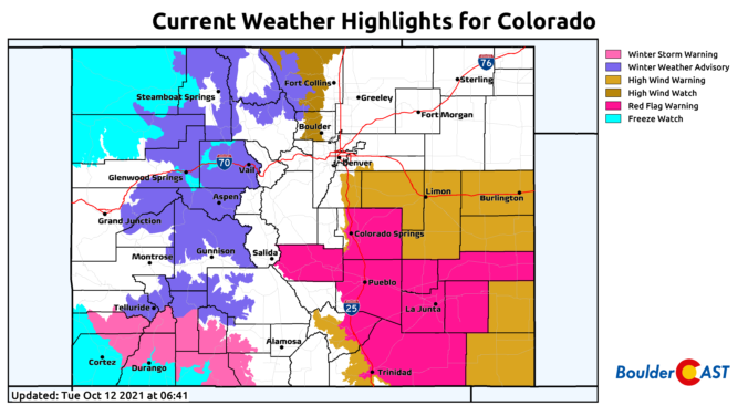
BoulderCAST Daily – Tue 10/12/21 | A vigorous storm blasts across Colorado today but mainly downslopes our area

TDetailed Forecast Discussion: he "coin flip" 50/50 forecast we mentioned in our discussion last week is going to land the way of the European model's prediction -- the one that takes the low pressure along a more northern track that will predominantly downslope the Front Range over the next 24 to 36 hours. Still, this is a surprisingly dynamic system …

« Older posts Newer posts »