

Category: Premium Content (Page 198 of 451)

This content is for Premium Members only.

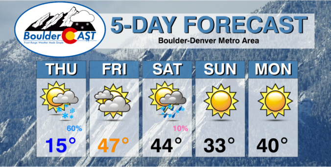
BoulderCAST Daily – Sun 01/09/22 | A chilly but sunny day in the upper 30s

Aridge of high pressure will slowly settle in today and tonight as yesterday's front and trough boundary continue to move east. Northwest flow aloft today, however, will keep temperatures on the chilly side. But the high pressure will spell out lots of sunshine. Weak flow at the surface will turn southwesterly during the afternoon. There is still a fair amount …

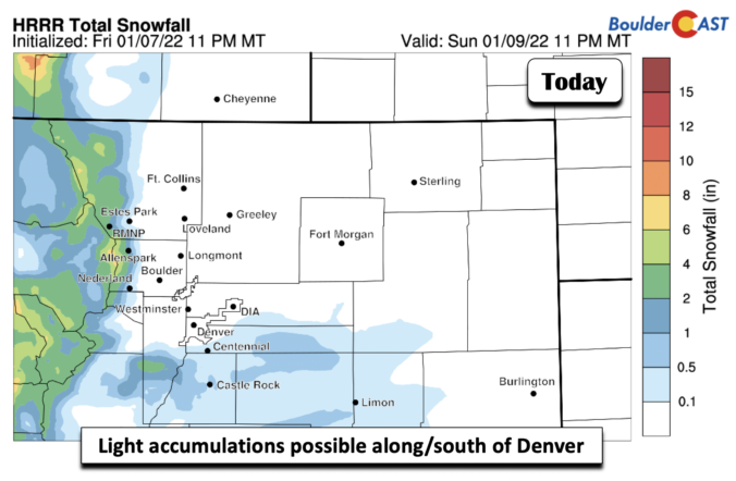
BoulderCAST Daily – Sat 01/08/22 | A quick burst of rain/snow showers today

Asurface cold front will move through the Front Range late this morning. The cold air behind it is not arctic but enough to reduce our high temperatures. Look for light winds ahead of the front, becoming northeasterly during the late morning and afternoon. Highs will top out ahead of the frontal passage, ranging from the lower 40s in the north …

BoulderCAST Daily – Fri 01/07/22 | A nice warm day to end the week

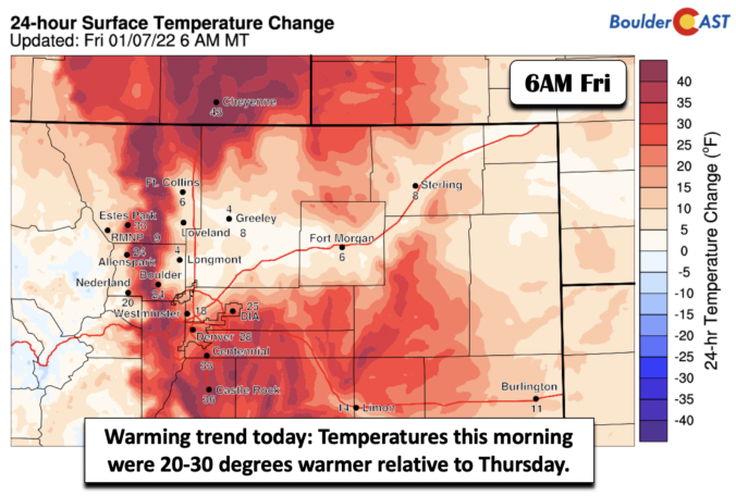
Temperatures earlier this morning were running some 20-30 degrees warmer compared to Thursday morning (below). The warmer weather is already taking shape and highs will be much warmer this afternoon. This is due to a westerly downslope flow taking shape today. Aloft, westerly flow is in due swing across the state. A trough of low pressure is situated over Idaho …

Weekend Weather Snapshot: January 6, 2022

The ongoing snow event unfolded about as expected with bursts of moderate to heavy snow during the afternoon and evening yesterday. However, it appears to have come in on the higher-end of model forecasts which we did hopefully convey our worries about in our forecast. We definitely can use the extra moisture! Snow observations so far have been few and …

BoulderCAST Daily – Wed 01/05/22 | The bitter cold & snow arrive late afternoon into evening, snow amounts still uncertain

Avery tricky forecast unfortunately remains for today as models failed to come into better agreement overnight on how exactly the wintry event later on will play out. The main forecasting challenge lies in the fact that nearly every high-resolution model shows weak banding with this event and thus lower-end snow totals --- 1/2 to 3" from Denver to Fort Collins. …

BoulderCAST Daily – Tue 01/04/22 | High winds today gusting up to 70 MPH, brief heavy snow tomorrow

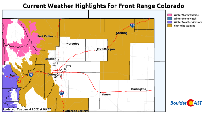
The nose of a strong jet streak is projected to be directly over the Front Range today and tomorrow with a favorable setup developing for high winds across the Mountains and Foothills, with potent winds also possible across the bulk of the Denver Metro area as well. Further north along the Wyoming border, more of a classic bora-type wind event …

BoulderCAST Daily – Sun 01/02/22 | Downslope warming helps melt snow today

ADetailed Forecast Discussion: nice ridge of high pressure will build in today, ushering in lots of sunshine and rising temperatures. Below shows a nice ridge stretching from California into western Texas. The ridge will allow nice downslope warming to take effect across the Front Range this afternoon and help melt some of the snow. With the fresh snow, highs will …

« Older posts Newer posts »