Category: Premium Content (Page 148 of 451)

This content is for Premium Members only.
Colorado Weekend Weather Outlook: March 9, 2023

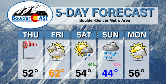
The main shortwave trough axis has passed to the east of Denver early this morning bringing just a few snow showers to the Mountains and the far eastern part of the state. Dry and subsident northwest flow in the trough's wake is already starting to rapidly carve away the deck of stratus clouds across the Metro area from northwest to …

BoulderCAST Daily – Wed 03/08/23 | Overcast and cold today, strong winds take hold tomorrow

Southeasterly upslope flow and cooling temperatures overnight have once again forced low clouds and patchy freezing mist upon the area, but for the most part this has been confined to Larimer and Weld Counties. Surface visibility observations early this morning show that the primary trouble spots are indeed up along the Wyoming Border region. There could be a few slightly …

BoulderCAST Daily – Tue 03/07/23 | Gloomy, foggy, freezy & misty

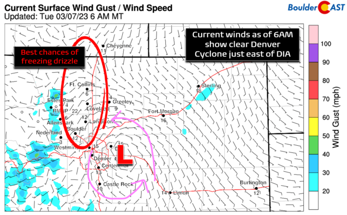
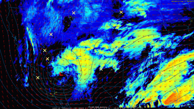
Upslope and low-level moisture have intensified overnight across eastern Colorado with low clouds, fog and freezing drizzle/mist developing across much of the Front Range. GOES-East satellite shows that almost everywhere east of the Continental Divide is socked into the stratus deck this morning, up to around 9000 feet elevation or so (white shading below is beneath the upper-level clouds). Current …

BoulderCAST Daily – Sun 03/05/23 | Red Flag Warning in effect under warm, dry, and breezy conditions
Astrong 150-mph west-east oriented jet streak stretches from central California into Kansas today. The strong winds tied to the jet are from California into central Colorado. The flow is largely perpendicular to the mountain range, promoting strong downslope flow over the Plains east of the Divide. The storm system tied to the jet is over the northern Great Plains. Both …

BoulderCAST Daily – Sat 03/04/23 | Temperatures in the low to middle 40s

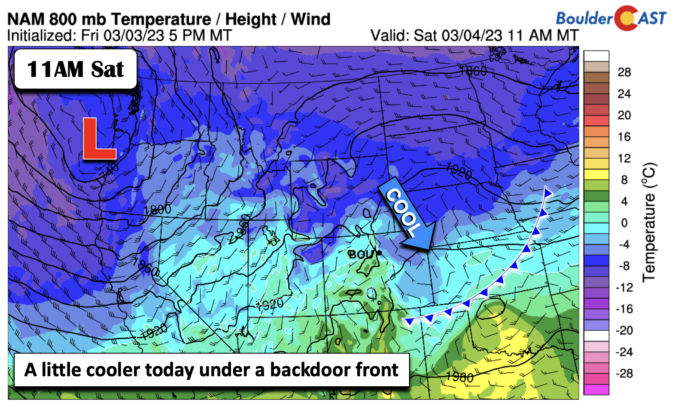
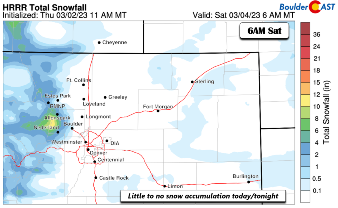
Abackdoor cold front slid through earlier this morning from the north. The front is currently situated over Kansas and Texas. In response, the Front Range is in a east-southeast upslope flow. This along with increasing clouds later this afternoon, should keep temperatures on the lower side today relative to Friday in the low to middle 40s. Some gusty winds may …

BoulderCAST Daily – Fri 03/03/23 | A quick-moving system brings snow to the mountains but little on the Plains

The mid-level pattern shows a fast-moving shortwave tracking roughly west to east across the state this afternoon and evening. There is little in the way of low pressure development, but enough mid-level forcing and upslope to bring snowfall to the higher terrain. On the Plains, we'll see another day of highs in the upper 40s under partly sunny skies giving …

BoulderCAST Daily – Thu 03/02/23 | Staying cooler than normal but at least it’ll be sunny

Yesterday's wet snow came and went without much of an issue as primary roadways generally stayed just wet. The developing snow was heavy in spots, but was slightly more sporadic than expected. Some portions of southern and eastern Denver didn't see any snow stick at all, while pretty much all of Boulder County and the northern Metro area saw light …

« Older posts Newer posts »