This week’s weather begins cooler but seasonal with a chance of a rain/snow mix. Don’t worry though. Warmth returns later in the week with near 70-degree temperatures. Read on for more in-depth forecast discussion.
Category: Powdercast (Page 21 of 22)
Forecasts focused on the many ski resorts of NE Colorado.
After a lengthy cold stretch which brought more snow to Colorado and other parts of the country, this week we are in store for moderating temperatures, with the potential for low 50’s come Wednesday, all thanks to the heart of the cold air retreating back to Canada and the Northeast. Colder weather and the potential for snow returns late Friday and for the upcoming weekend. What are the specifics for the week? Read on to find out more!
With winter now officially under way (you didn’t miss the solstice did you?), the weather turns cooler and snowier right in time for the holiday. We provide an updated outlook through the extended weekend. Will any of us see a white Christmas this year? Read on to find out!
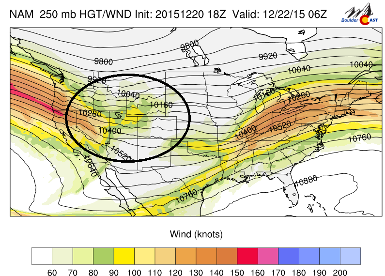
This week will feature a series of snow events across the High Country, with several ski resorts likely accumulating more than a foot of snow by midweek. This is all thanks to a large Pacific jet stream tracking into the western United States. There are also hints Boulder may see some snow on Christmas. Continue to find out more.
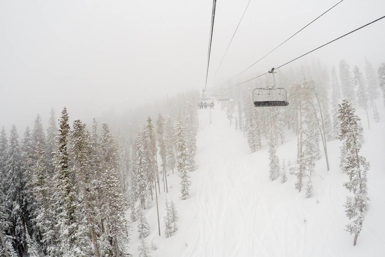
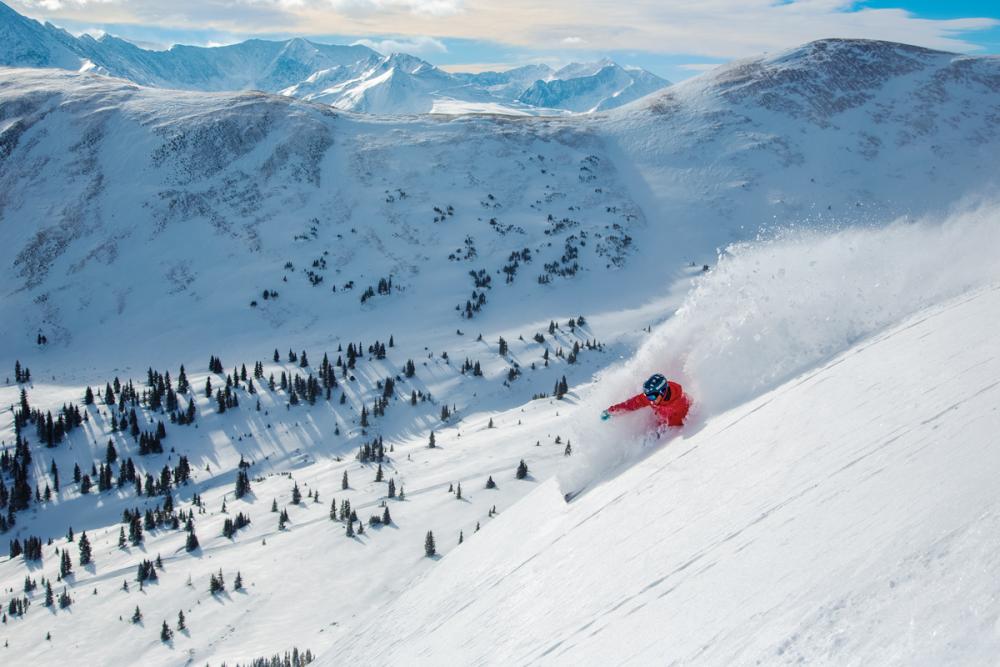
Above shows the snow over Winter Park Ski resort this past weekend due to a large upper-level low pressure system that was rotating over Nevada since last Wednesday. How much snow did the mountains get and what is the PowderCAST outlook for the week ahead? Continue for more details!
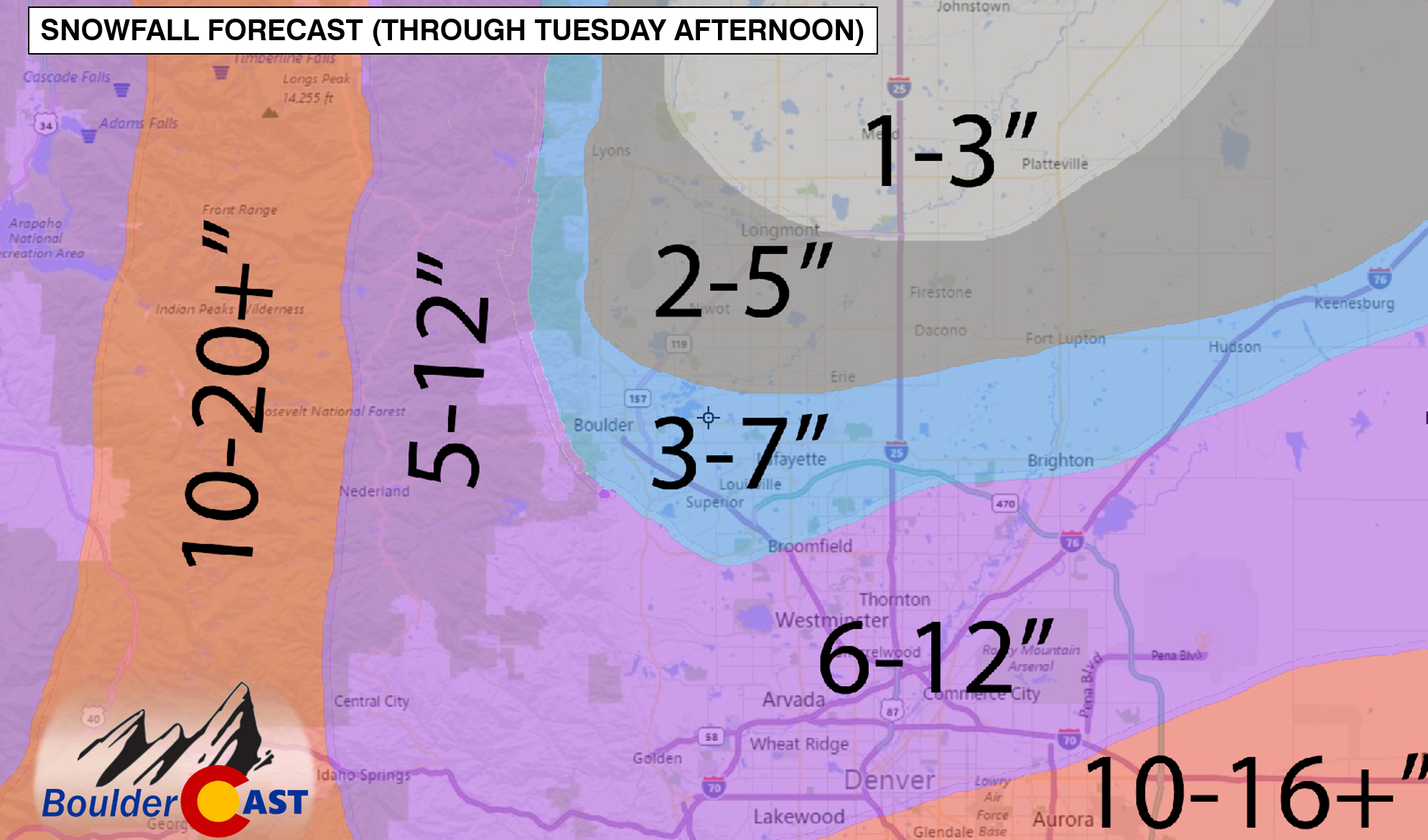
The first major storm is coming together quite nicely. We provide some last minute thoughts on the system eyeing the Front Range, and give our final forecast snow totals for the region.
After a tranquil weekend, the weather pattern turns more active again with our next shot of snowfall this evening into tomorrow morning. This is all thanks to another potent low pressure system coming out of the Eastern Pacific Ocean. How much will we get? What will the rest of the week feature? Read on to find out more details!
October is here and with that comes snow-making across the Colorado ski resorts! With overnight temperatures now dropping below freezing, Copper, Loveland, and A-Basin are making the white stuff as we speak. BouldeCAST is happy to inform you that PowderCASTs will be returning very soon! In these discussions, we provide in-depth forecasts for powder at several of the ski resorts in Colorado, each and every week through the winter season, with special storm updates as needed. We will get the forecasts out to you well in advance, allowing you to plan your ski days accordingly.
At this stage, weather does not look to get active for snow in the mountains until at least mid to late next week, but we will definitely keep you posted. Stay tuned skiers!
© 2025 Front Range Weather, LLC





You must be logged in to post a comment.