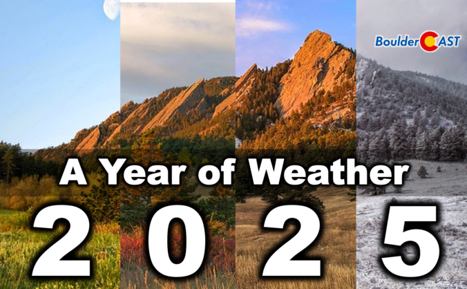
2025 was one of those years where Boulder’s weather never seemed content with a single storyline. We opened with a bitter Arctic punch that delivered our coldest January in nearly two decades, only to swing into a summer packed with 90°+ heat, smoky afternoons, and the hottest day since 2012. The monsoon showed up often but rarely with much enthusiasm, fall dried out in a hurry, and our first snow didn’t arrive until November 29th — the latest on record by a country mile. Now that the dust (and smoke, and snow) has settled, we’ve pulled together a full graphical recap of the temperature swings, precipitation quirks, record‑setting moments, and long‑term trends that defined Boulder’s and Colorado’s atmosphere in 2025. If you want the full story behind the chaos — and a clearer picture of where 2025 truly landed — this is a fun one to dive into. Be warned, there really are 100 charts and visuals to explore. Enjoy!
Category: Monsoon (Page 1 of 12)
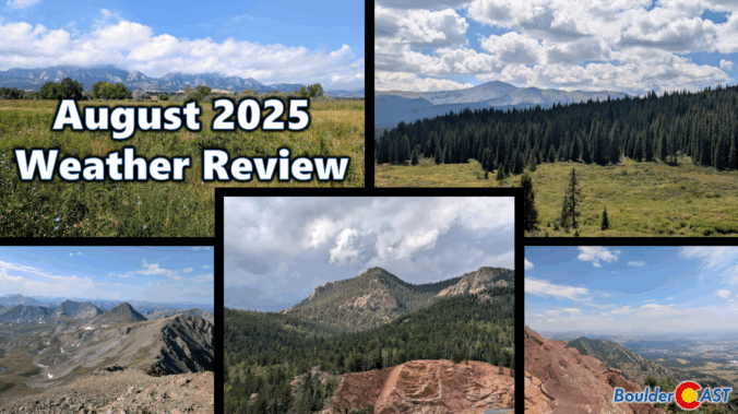
August 2025 was on track to be our third scorcher in a row — hot, dry, and smoky — until a late-month shift brought in a welcome stretch of cooler, wetter weather. That pattern change helped balance things out across the Front Range, with most areas landing close to average for rainfall and just slightly warmer than normal overall. Still, it wasn’t all relief: the month packed in plenty of wildfire smoke and a few record-breaking heat days that served to remind us that summer wasn’t done yet. Here’s a quick and colorful graphical recap of our weather during August and how it relates to climatology.
NOTE: This monthly recap was delayed due to missing data in the August 2025 climate record for Boulder which has since been partially filled with best-guess approximations.
Last week’s cold front didn’t just drop temperatures—it dragged in a wall of chemical-scented smoke that turned the Front Range skies hazy and acrid. The days ahead are shaping up to be much more pleasant with warmer temps, limited storm chances, and a break from the smoke (at least for now) under southwest flow. Read on for a full breakdown of this week’s weather, including when to expect the best shot at rain and whether any smoke may return in the extended.
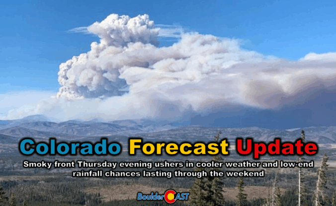
Colorado Forecast Update: Thursday evening’s smoky front will usher in cooler, (slightly) wetter weather for the weekend
Thursday’s shaping up to be a busy weather day across the Front Range. We’re looking at hot temperatures, gusty winds, and a cold front arriving by evening that’ll bring a noticeable drop in temps — along with a wave of wildfire smoke. We’ll walk through what to expect today, how the weekend is shaping up, and whether any moisture from Hurricane Lorena might sneak into the region.
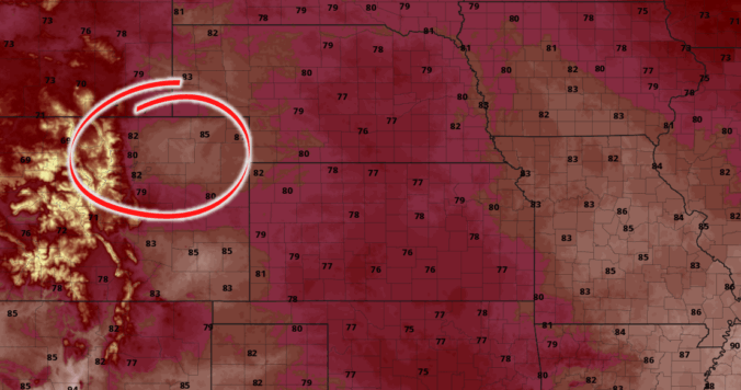
*Premium* BoulderCAST Daily – Fri 08/29/25 | Scattered storms today & tomorrow with continued below normal temps

*Premium* This Weekend in Colorado Weather: A few more stormy days ahead of a beautiful Sunday and Labor Day
The unsettled weather pattern isn’t done with us just yet—and that’s good news for the rain-starved Front Range. While recent days have underdelivered in most areas, this week still holds promise for more moisture and continued cool weather. We break down when and where the best rain chances will line up this week, why optimism is cautious, and what to watch for as the pattern turns warmer and drier heading into Labor Day Weekend.
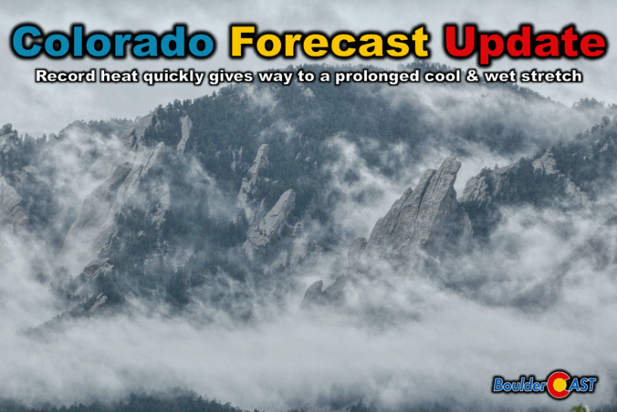
Colorado Forecast Update: Record warmth quickly gives way to a prolonged cool & wet stretch across the Front Range
Thursday marks the final chapter of our late-summer heatwave, with record-challenging highs expected across the Front Range — but big changes are on the horizon. A cold front arrives tonight, ushering in cooler temps, a return of thunderstorms, and a wetter, more active pattern that could stick around well into next week. From sizzling heat to damaging hail, monsoonal moisture, and a long stretch of below-normal highs, today’s forecast update has a little bit of everything.
© 2026 Front Range Weather, LLC

