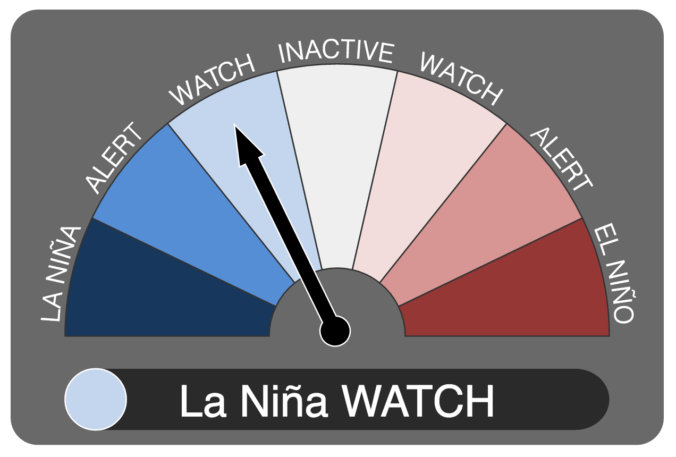
It now appears we may be headed into our second consecutive La Niña winter. We discuss the forecast, remind you what La Niña actually is, and explain potential impacts on Colorado for this winter.
Category: Long-Range (Page 11 of 15)
3rd Annual BoulderCAST First Snow Contest
*This contest is now closed to entries*
Are you eager for the first snow of the season? Have you already waxed your skis and purchased your Epic Pass? Our first big snow could be right around the corner! We provide a brief overview of Boulder’s first snowfall climatology and then pose a question…“When will Boulder’s first snow occur this year?” Submit your guess for not only a chance to win recognition among local weather enthusiasts, but prizes too. Those who get closest to the date of our first snow win. Read on for all the details.
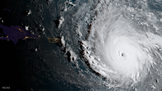
As the nation braces for impact of another major tropical cyclone, we update you on the status of Hurricane Irma. Where is she headed and when will she arrive? Read on to find out.
DISCLAIMER: This update was created Wednesday, September 6, 2017. Any life-sustaining decisions regarding Irma should be made on your own accord following the most up to date guidance from the local emergency authorities.
It’s been nearly two weeks in Boulder since our last measurable rainfall. Labor Day weekend will continue this trend with generally dry and at times, hot conditions prevailing across the state of Colorado. We provide our forecast of the entire holiday weekend for the Metro area and the Mountains.
Follow along with us as we provide forecasts leading up to the total solar eclipse on Monday, August 21st for Colorado, Wyoming, and Nebraska. We’re here to help you decide where the best drive-able viewing will be.
*Forecast updates will be included in this post, as needed*
It’s hard to believe that August is now upon us! Summer is almost half over. The month of July produced below normal precipitation and had a temperature nearly two degrees above average in Boulder. Should we expect more of the same in August? Read on as we examine Boulder’s climatology and consider the current state of the atmosphere to give our outlook for the next month.
This week we discuss the arrival of the summer monsoon which will facilitate some of the best chances of rain we have seen in weeks.
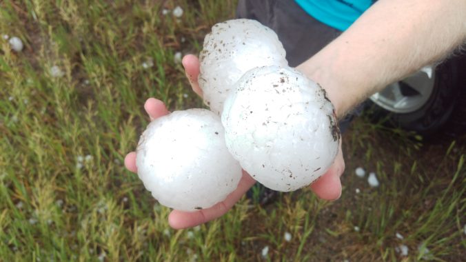
After record-setting heat the last two days, the first wave of cooler air arrives early this afternoon. Then, an actual cold front is set to move in later tonight. Before that however, we’ll have to survive a few hail-producing severe storms this afternoon.
© 2026 Front Range Weather, LLC

