


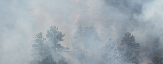
The winds are shifting and the smoke will soon be departing our region. Read on for details.
Category: Fire Weather (Page 36 of 38)
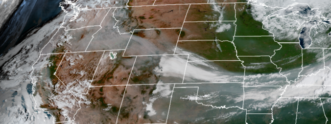
The week ahead starts off feeling like autumn thanks to yesterday’s cold frontal passage. We are rather quiet for the most part with only a slight chance of storms late in the week as temperatures moderate back into the 80’s. More details can be found within, including when we expect the wildfire smoke to exit the region.
We also provide thoughts on Category 5 Hurricane Irma which could be making landfall in Florida this weekend.

The week ahead will be generally quiet across Colorado’s Front Range with large scale ridging in place and the window for monsoon moisture quickly waning. Read on to find out which day we think offers the best chance of rain.
We also provide thoughts on the recent landfall of Category 4 Hurricane Harvey in Texas.
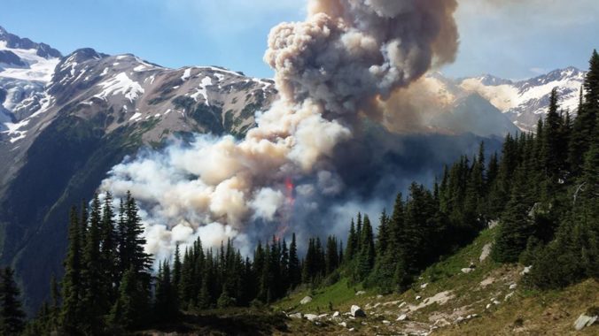
Historical warmth and persistently dry conditions have spawned numerous wildfires across the Pacific Northwest and British Columbia over the past few weeks. With a change in our synoptic flow direction yesterday, thick smoke has pushed into the Denver Metro area creating reduced visibility and air quality. We examine how the smoke got here and how the forecast for the weekend is shaping up.
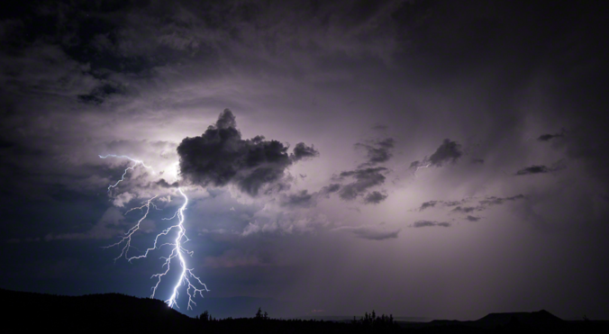
With the first full-week of July coming to a close, monsoon season is right around the corner for northeast Colorado. However, its arrival is not something you can mark on the calendar as there is no set date for its commencement. It fluctuates substantially from year to year, depending greatly on the weather patterns of Mexico, the southeast USA, and the tropical eastern Pacific Ocean. We discuss the current state of the atmosphere and when we expect the monsoon to finally arrive. It’s already running a tad late.

May 2017 has already cracked the top 10 for wettest Mays on record in Boulder. Unfortunately, this trend looks to continue right until the end of the month. Read on for the soggy details as we provide our complete forecast for Memorial Day weekend.
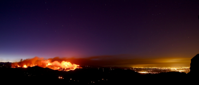
After experiencing near-record snowfall last winter with a historically strong El Niño in place, the better part of the last year has seen below normal precipitation across most of eastern Colorado. Drought has continued to expand and intensify through the winter season. However, a fruitful pattern shift is ahead, beginning with our first spring storm of the year! Continue reading as as we provide an update on the drought and our thoughts on the upcoming storm.
Happy First Day of Spring! As smoke spewed from the mouth of Sunshine Canyon yesterday, the extent of the wildfire threat become more obvious than ever. The fire ignited late Saturday night following what has been more than three weeks in Boulder without measurable precipitation. We have some good news…the week ahead should offer some reprieve for the extremely dry weather of late. In fact, we have a chance of precipitation in the forecast each and every day this week. We’re also tracking a potential spring storm late in the week. Continue reading for our complete weekly outlook including our thoughts on the potential for accumulating snow.

Live View of Boulder

Current Conditions

Live Radar

Latest Smoke Forecast

Recent Premium Posts

This Weekend in Colorado Weather: Storm Chances Shrink While Heat Surges Into the Weekend
🌧️ Monsoon finally delivered Wednesday: Boulder and Denver both snagged a bout of …
BoulderCAST Daily – Wed 08/26/26 | Front Range Braces for a Few Severe Storms with Large Hail Today
🌩️ Severe storms possible — We’re still looking at scattered thunderstorms developing later …
BoulderCAST Daily – Tue 08/25/26 | Cooler with More Run-of-the-Mill Storms Today, But Big Hail Could Be an Issue Tomorrow
🌤️ Monsoon flow persists under a record-strong New Mexico ridge, keeping moisture aimed …
3-Day Forecast

Trending Content



© 2026 Front Range Weather, LLC