Category: BoulderCAST Daily (Page 220 of 465)

This page contains an index of our BoulderCAST Daily forecast updates. If you are NOT a Premium member, you will only see a tiny sample of this content below. Subscribe to BoulderCAST Premium to gain access to all of our daily forecasts which get published every morning.
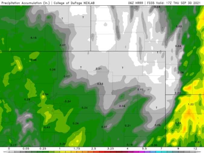
BoulderCAST Daily – Wed 09/29/21 | Cloudy with falling temperatures & rain showers

BDetailed Forecast Discussion: ig weather changes are underway right now as we transition from the warm sunshine of yesterday to cooler and gloomier weather today. This drastic shift is tied to a deep trough of low pressure across the western United States, with the base of the trough digging all the way into portions of Mexico. Over the coming days …

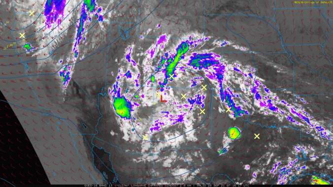
BoulderCAST Daily – Tue 09/28/21 | One last summer-like day before temperatures begin to tumble tonight

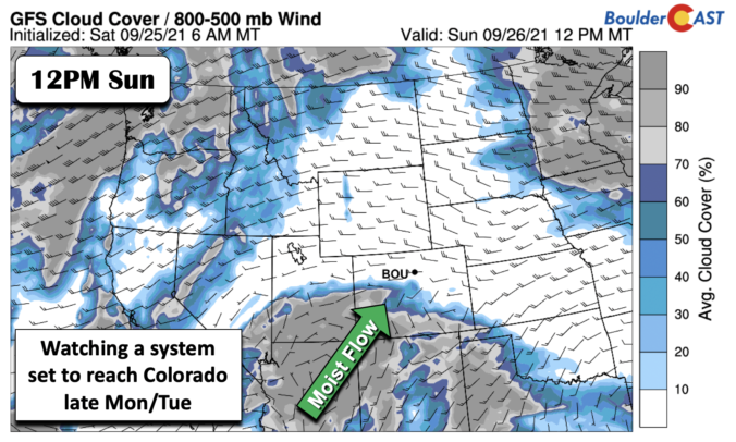
ADetailed Forecast Discussion: small cut-off low pressure system sits along the Colorado-New Mexico border this morning, with wrap-around moisture flowing into the state of Colorado. This low will weaken, move northeastward and eventually get absorbed by a larger trough moving from the Pacific Northwest into the Rockies tomorrow. Under this setup, showers and thunderstorms will be commonplace across the state …

BoulderCAST Daily – Sun 09/26/21 | Potential Record Highs today

TDetailed Forecast Discussion: he heat persists today across the Front Range. Little change in the overall airmass will lead to a more or less carbon copy of yesterday with highs into the upper 80s across the Denver Metro area. The record high of 89 set in 2001 for Boulder may very well be tied or broken. It will be close …

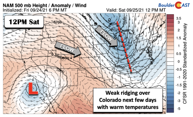
BoulderCAST Daily – Sat 09/25/21 | The warm temperatures return

TDetailed Forecast Discussion: he mid-level pattern across the nation this afternoon will feature a deep trough over the Great Lakes into the Appalachians of the southeast, as well as weak ridging over the western states. The trough out east was responsible for our cooler weather yesterday. Now that it is east of our area, the ridging will lead to warmer …

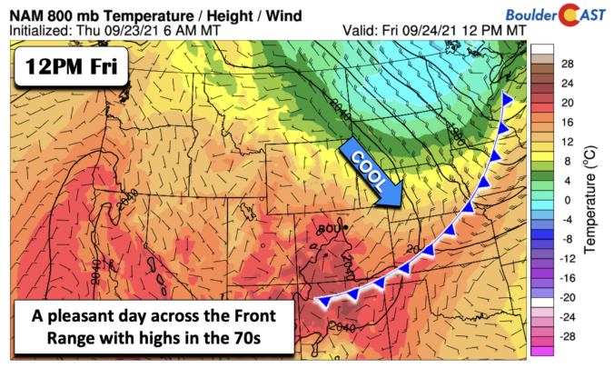
BoulderCAST Daily – Fri 09/24/21 | A brief cool down

TDetailed Forecast Discussion: he upper-level jet stream is just to our east today, located north-south from North Dakota into Kansas and Missouri. As a result, the lift and energy is well out of our state. This northerly flow over the Midwest brought a cold front through during the overnight hours last night, but no precipitation is expected due to the …

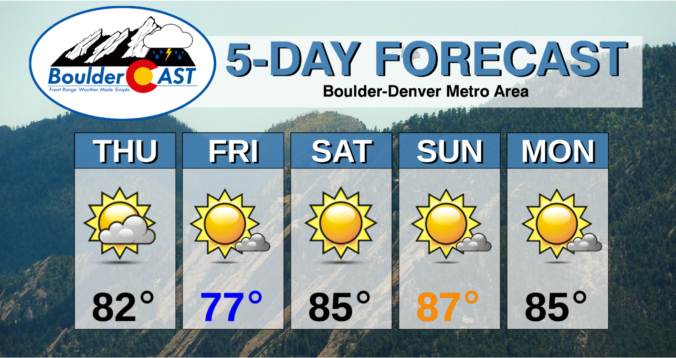
BoulderCAST Daily – Thu 09/23/21 | 80’s with clouds and sun today, cooler tomorrow but heating right back up for the weekend

TDetailed Forecast Discussion: he ridge axis continues to shift eastward today as a trough in the Pacific Northwest approaches Colorado. Notice the clouds streaming in ahead of the trough in the GOES-East water vapor animation below. Early this morning, a few wave clouds are noted east of the Divide over the Denver area. At 500mb in the atmosphere, we can …

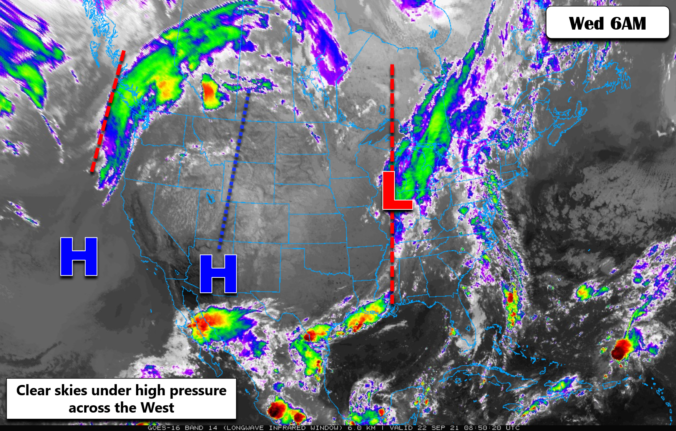
BoulderCAST Daily – Wed 09/22/21 | A cold morning, but warming up fast on this first day of autumn

ADetailed Forecast Discussion: ll is quiet across Colorado this morning, though we are starting out chilly again around the Denver Metro area. Some portions of northern Colorado are actually colder this morning than yesterday, mostly because the atmosphere has dried out further allowing temperatures to plummet without patchy fog developing. Several locations are nearing frost territory this morning, but generally …

« Older posts Newer posts »