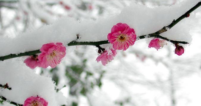
Winter has made quite the return across the Front Range this weekend! Snowfall totals from this weekend’s storm ranged from a couple of inches to a couple of feet. Continue reading as we provide a brief recap of what could potentially be our last snow event until Autumn.
Category: Climatology (Page 56 of 63)
These posts contain information about the long-term weather patterns of Boulder County. Potential topics may include 30-day weather outlooks, El Nino/La Nina, and seasonal forecasts. You will find less about the day-to-day weather, with more focus on longer trends and patterns.
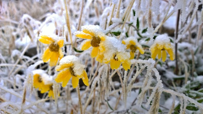
Thanks to everyone who entered our “2017 Late Season Snow” contest. We briefly review the entries. Not surprisingly, most of you are less than optimistic for additional snowfall by the end of May.
*This contest is now closed to entries. Keep an eye out as we’ll be doing more contests in the future*
We provide a brief climatology for late-season snowfall in Boulder and then pose the question…”How much more snowfall will Boulder see in the 2016-17 snow season?” Submit your guess for a chance at several prizes. Those who get closest to the exact amount win. Read on for all the details.
After experiencing near-record snowfall last winter with a historically strong El Niño in place, the better part of the last year has seen below normal precipitation across most of eastern Colorado. Drought has continued to expand and intensify through the winter season. However, a fruitful pattern shift is ahead, beginning with our first spring storm of the year! Continue reading as as we provide an update on the drought and our thoughts on the upcoming storm.
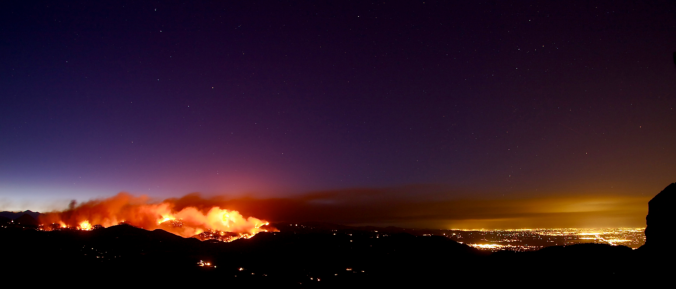
Happy First Day of Spring! As smoke spewed from the mouth of Sunshine Canyon yesterday, the extent of the wildfire threat become more obvious than ever. The fire ignited late Saturday night following what has been more than three weeks in Boulder without measurable precipitation. We have some good news…the week ahead should offer some reprieve for the extremely dry weather of late. In fact, we have a chance of precipitation in the forecast each and every day this week. We’re also tracking a potential spring storm late in the week. Continue reading for our complete weekly outlook including our thoughts on the potential for accumulating snow.
It may be in the 70’s today, but snow is not far off! Find out the timing and how much we can expect in our storm update.
After a long stretch of very warm weather across the Plains and a lack of mountain snowfall this past week, things look to slowly trend toward a more wintry-feeling, but not until late in the week! We are looking at possible record highs again over the next few days along with downslope wind events, then a quick transition to colder weather by late week and, dare we say, possibly snow? Read on for our full weekly outlook.
Following a quick shift back to winter-like temperatures this weekend, warmth will return this week alongside peaceful weather as a ridge slowly slides across the state. Will the powerful downslope winds accompany the warming this week? Read on to find out.

Live View of Boulder

Current Conditions

Live Radar

Recent Premium Posts

BoulderCAST Daily – Sun 11/09/25 | Chillier today but warmth galore returns this week
A chilly Sunday: The weekend ends with some chilly highs in the mid …
BoulderCAST Daily – Sat 11/08/25 | Turning chillier tonight and Sunday
🌡️ Turning chillier tonight: Cooler highs in the middle 50s. We turn colder …
BoulderCAST Daily – Fri 11/07/25 | Quiet conditions – still no snow
🌡️ Mild temperatures: Mild in the lower 60s 💨 Cold front brings us …
3-Day Forecast

LATEST SMOKE FORECAST

Trending Content


© 2025 Front Range Weather, LLC