Unsettled weather will stay the course this week across Colorado, with a lingering trough keeping rain chances alive early on. A stronger cold front arrives midweek, boosting precipitation chances and bringing a brief return of wintry weather to the higher terrain. Though the weekend ahead looks quite nice, a soggy pattern could be brewing next week. Read on for all the details.
Category: Climatology (Page 11 of 66)
These posts contain information about the long-term weather patterns of Boulder County. Potential topics may include 30-day weather outlooks, El Nino/La Nina, and seasonal forecasts. You will find less about the day-to-day weather, with more focus on longer trends and patterns.
The sun is out Saturday morning and already working quickly to melt our most recent round of late-season snow in the Front Range. We briefly review the snowfall totals which greatly favored the western side of the Metro area including Boulder. We also tackle the question of whether this will be our final snowfall of the season or not.
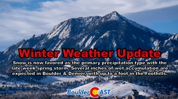
Following a rather benign stretch of weather this week so far, a strong storm system will bring winter weather back to the entire Front Range in the days ahead. After a warm day with fire danger on Thursday, a cold front will blow through in the early evening hours paving the way for a prolonged period of upslope-enhanced precipitation lasting into early Saturday. While the predominant precipitation type will indeed be snow with this storm, even across the lower elevations, there will be a lot of melting happening limiting the overall impacts and potential snow accumulation. We discuss the latest storm details, how much moisture will fall, and how much wet snow this will translate into for the area.
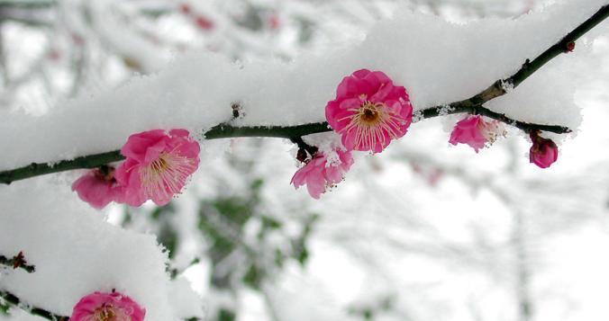
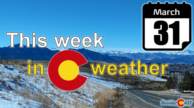
After a round of light rain and snow overnight, quiet weather will ensue for the Front Range through midweek with limited chances for rainfall and temperatures trending upwards. However, our main focus is towards a soggy late-week storm system which will bring widespread rain and snow to the area. While still somewhat uncertain, several inches of spring snow are looking increasingly likely for us, even across the lower elevations. Read on for all the details.
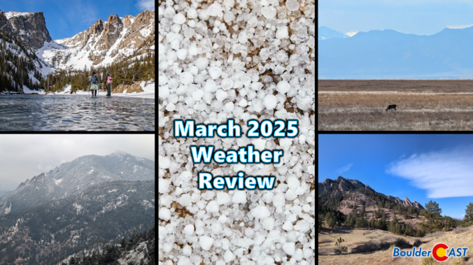
March 2025 was characterized by warm temperatures and largely dry conditions in the Front Range. The month saw a mix of seasonal weather patterns, including occasional gusty winds and a few minor snow events. While March finished as one of our all-time least snowy on record, the region experienced a much-needed deluge of rain during the final weekend of the month which will help to stave off drought for a little while longer. Here’s a quick and colorful graphical recap of our weather during March and how it relates to climatology.
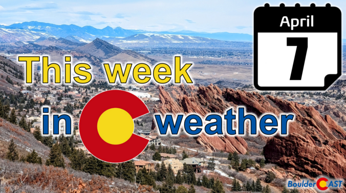
Following a chilly and unsettled first week of April, this week will be much quieter across Colorado with generally warm and dry conditions favored throughout the entire week under the protection of high pressure. Temperatures will fluctuate a tad due to a pair of dry backdoor cold fronts, but otherwise this week will offer-up gorgeous spring weather. That theme will continue right into the upcoming weekend with the first 80-degree temperatures of the year likely. Read on for all the details.
The week ahead will remain fairly active across Front Range Colorado as a series of upper-level disturbances track through the region with a broad trough of low pressure over the Four Corners and Intermountain West. Our warmest day will be Monday near 60 degrees, with cooler temperatures and unsettled weather taking over the remainder of the week. We are especially focused in on the Friday/Saturday timeframe when a strong storm system could bring several inches of spring snow to the area. Read on for more details.

Thanks to multiple rounds of steady rain, a hail-producing thunderstorm, and even a few snowflakes, Boulder has remarkably received about as much precipitation this weekend as we’ve seen in all of 2025 combined beforehand! We review the rain (and snow!) totals across the area and discuss briefly what unfolded over the last 36 hours during what was a rather atypical spring storm.

Live View of Boulder

Current Conditions

Live Radar

Recent Premium Posts

BoulderCAST Daily – Sun 01/11/26 | A mild Sunday with readings reaching the 50s
🌤️ Mild & Melty Sunday: Light winds and patchy clouds, with lingering snowpack …
BoulderCAST Daily – Sat 01/10/26| Widespread sunshine and moderating temperatures this weekend as our recent snow melts off
🌤️ Calm Saturday: Winter storm systems have departed the state, leaving behind a …
BoulderCAST Daily – Fri 01/09/26| Snow ends quickly this morning with a quieter weekend in store
❄️ Overnight snow bands: A second push of upslope after midnight sparked narrow …
3-Day Forecast

Trending Content

© 2026 Front Range Weather, LLC