Author: BoulderCAST Team (Page 33 of 45)
This post had major contributions from at least two members of our team. The more meteorologists the better, right?
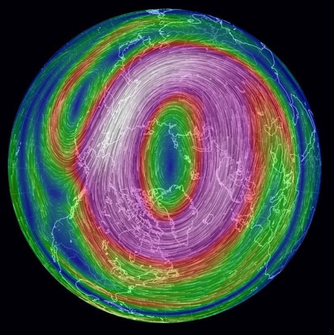

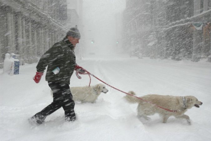
A moisture-infused spring storm dumped up to 2″ of liquid and 2 feet of wet snow in portions of the Metro area on Thursday on the first day of spring. We briefly review the atmospheric setup and take a look at the regional snow totals and blizzard-inducing wind gusts.
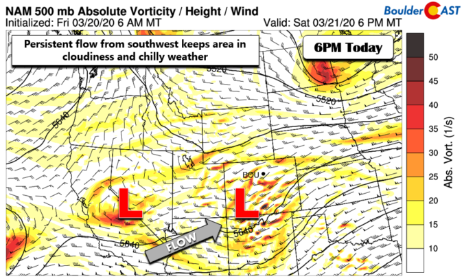
Paradoxically, the last day of winter will feel like spring and the first day of spring will be filled with heavy blowing snow. The Front Range will transition from warm and sunny weather Wednesday afternoon quickly to blizzard-like conditions on Thursday. However, the forecast remains a steep challenge with a combination of several factors likely to limit overall snow accumulation across the Denver Metro area, despite a deluge of liquid expected. We discuss the latest forecast, including our concerns about the wintry aspects of the storm and how much snowfall to expect.
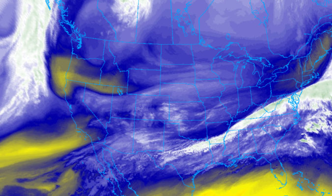
PREMIUM UPDATE (8:00 AM Thu 03/19/20): We take a look at the impressive satellite imagery and observations this morning across the Denver Metro area and discuss our lingering concerns with those pesky springtime temperatures. Click HERE to read.

Though only an inch or so of snow may have fallen in your area on Wednesday, upwards of 3 to 6 inches were reported within the city limits of Boulder. We take a look at the snow totals from yet another “light” snowfall event the struck the Metro area Wednesday afternoon and evening. We also look ahead to our next, potentially more significant winter storm targeting the Front Range for the upcoming weekend.
Continue reading
We’re starting to sound like a broken record, but more snow is on the way later today into tonight. Read our latest thoughts on the forecast which will produce light accumulations across the Front Range once again.
PREMIUM UPDATE (11:00 AM Wed 02/19/20): Wednesday morning’s model runs came in a little snowier, but are they being overly optimistic? We take a look at the latest model data in conjunction with satellite/radar observations to find out. Click HERE to read.
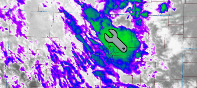
Our low-confidence snowfall forecast ended up turning out okay in most areas on Wednesday. This is despite a huge convective snow squall throwing a wrench into things late in the afternoon. Read on as we discuss what happened and review the totals from the snowfall event, which by the way was our fifth in just the last ten days.
With the conclusion of last night’s quick-hitting snow event, our fourth in just the last eight days, Boulder has now officially eclipsed the typical amount of snow that falls in an entire season, and we’re not even half way through the month of February! We take a look at how this fits into Boulder’s history, what it might tell us about the potential for snow the rest of the winter, and give a quick and dirty forecast for our next chance of snow coming on Wednesday.

Live View of Boulder

Current Conditions

Live Radar

Recent Premium Posts

BoulderCAST Daily – Sun 12/14/25 | A warmup after the chilly yesterday afternoon
🌡️ Warmth Returns with no sight of snow: Highs return close to 60 …
BoulderCAST Daily – Sat 12/13/25 | Highs in the 60s this weekend!
🌡️ October Warmth in December: Highs typical for late October will be in …
This Weekend in Colorado Weather: The December that has felt like October continues with bone dry warmth persisting into next week
🌬️ Two more breezy days ahead with gusts 15–25 MPH before the jet …
3-Day Forecast

Trending Content

© 2025 Front Range Weather, LLC