


Author: Ben Castellani (Page 41 of 358)
Ben grew up in southwestern Pennsylvania and holds both a bachelor's and a master's degree in Meteorology, the latter being from CU Boulder. His hometown received nearly three feet of snow from the Storm of the Century back in March of 1993, sparking his initial interest in impactful weather. Ben currently works on remote sensing and data analysis software at NV5 Geospatial Software in Boulder.
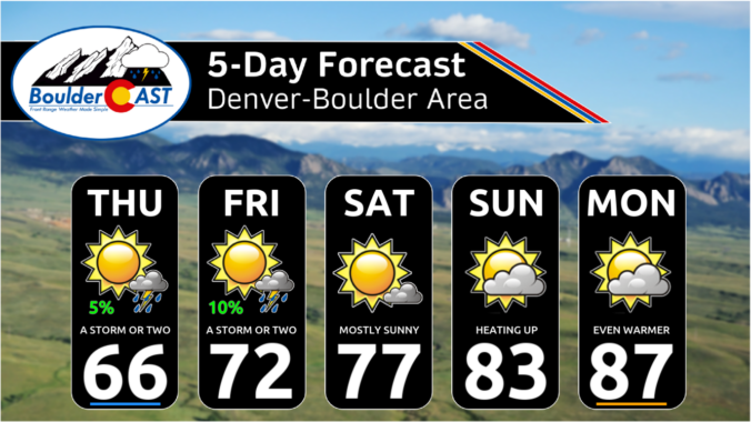
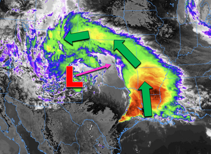
Many of us have already received more than one inch of rain, and this storm isn’t over quite yet. Scattered showers and a few thunderstorms will continue through Wednesday (with snow in the highest Foothills). We review the regional rain and snowfall totals so far, and discuss the latest forecast details, including when we expect this pesky spring storm to finally loosen its grasp on the Front Range.
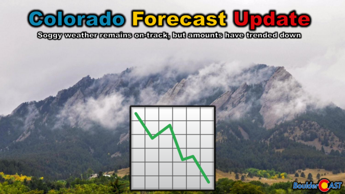
We hate to be the bearer of bad news, but almost every single weather model has taken a significant nosedive in precipitation output for the remainder of the storm Tuesday into Wednesday. We discuss this latest data, what factors have contributed to the shift, and provide our final snowfall and precipitation forecast maps for what may end up being an underwhelming spring storm in the Front Range.
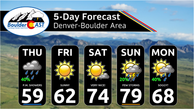
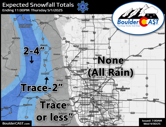

Unsettled weather will stay the course this week across Colorado, with a lingering trough keeping rain chances alive early on. A stronger cold front arrives midweek, boosting precipitation chances and bringing a brief return of wintry weather to the higher terrain. Though the weekend ahead looks quite nice, a soggy pattern could be brewing next week. Read on for all the details.
Live Radar

Trending Content


Recent Premium Posts

BoulderCAST Daily – Wed 11/11/26 | Mild Days Ahead, But There Are Signs of a More Active November Soon
☀️ Warm & Quiet — Sunshine dominates through Thursday with highs rising from …
BoulderCAST Daily – Tue 11/10/26 | Clouds Increase Today, But Colorado’s Dry Pattern Rolls On
🌤️ A Few More Clouds Today – Mountain wave clouds are developing along …
BoulderCAST Daily – Sun 11/08/26 | Mild November Weather Continues, Even With A Cold Front Midweek
☀️ Sunny and warm for early November – Temperatures in the middle to …
© 2026 Front Range Weather, LLC