


Author: Ben Castellani (Page 304 of 358)
Ben grew up in southwestern Pennsylvania and holds both a bachelor's and a master's degree in Meteorology, the latter being from CU Boulder. His hometown received nearly three feet of snow from the Storm of the Century back in March of 1993, sparking his initial interest in impactful weather. Ben currently works on remote sensing and data analysis software at NV5 Geospatial Software in Boulder.
A subtle upper-level ridge will slide across Colorado today, bringing with it dry westerly downslope flow. This will produce a nice warm-up and dry weather statewide this afternoon. Highs will be in the low to mid 50’s with mostly sunny skies. These warm temperatures should help to melt a bulk of the remaining snow cover on the ground.
Not much in the way of interesting weather to track through the week. However, things are shaping up to be a little snowy just in time for Christmas. A system will be crossing the region Saturday night into Christmas Day. The exact track is still uncertain, but snow for all of Colorado is a possibility (and a near certainty for the Mountains). Bear with us over the next few days as we wait for the models hone in on a solution…
—
Remember, DayCAST’s are Premium content. Periodically, we open these forecasts up to all of our readers. Today is one of those days!
Sign up to become a Premium member today to get the best BoulderCAST experience, including daily forecasts, an enhanced LiveCAST and PowderCAST, custom forecasts, early access to select content and much more! Start your subscription today for just $1 using the promo code TRIAL.
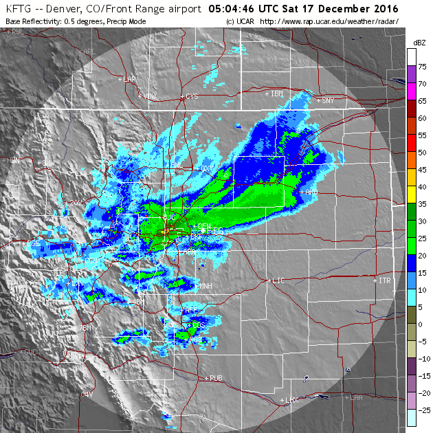
Thanks to a stationary band of heavy snow Friday night, many of you may have awoken to more snow than expected. We explain what happened overnight to produce 5-10″ of snow in parts of the Denver Metro area and also detail when we expect the Arctic chill to retreat.
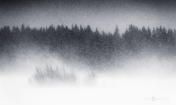
After downslope winds warmed us into the 60’s today, another shot of frigid air is headed for the Front Range Friday evening. Snow is commencing in the Mountains already, with the Plains in store for some snow as well. Read on as we detail the arrival of another quick-hitting Arctic system, including timing, snowfall amounts, and projected temperatures.
Live Radar

Trending Content


Recent Premium Posts

BoulderCAST Daily – Sun 11/15/26 | Morning Fog Gives Way to a Warmer Stretch of Weather
🌫️ Fog Disperses — Morning low clouds and fog exit, with sunshine in …
BoulderCAST Daily – Sat 11/14/26 | A Pair of Foggy Mornings With Little Rain
🌫️ A Pair of Foggy Mornings — Moisture banked up along the Foothills …
BoulderCAST Daily – Fri 11/13/26 | Quiet Today But Turning Unsettled Tomorrow
☀️ Quiet Today — Sunshine and low to middle 60s across the Front …
© 2026 Front Range Weather, LLC