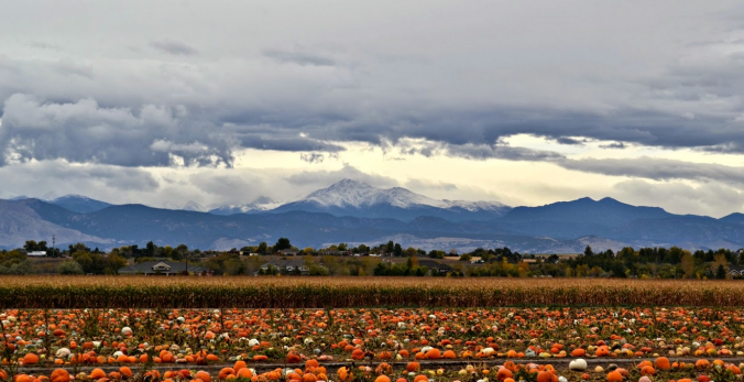
September was exceedingly dry and warm across much of eastern Colorado. Consequentially, the wildfire threat is increasing with each passing day. More than half of Boulder County is now under a complete fire ban. Will October offer up the soaking rain and mountain snow that we desperately need? Read on as we examine Boulder’s climatology and consider the current state of the atmosphere to give our outlook for the next month.
Author: Ben Castellani (Page 295 of 302)
Ben grew up in southwestern Pennsylvania and holds both a bachelor's and a master's degree in Meteorology, the latter being from CU Boulder. His hometown received nearly three feet of snow from the Storm of the Century back in March of 1993, sparking his initial interest in impactful weather. Ben currently works on remote sensing and data analysis software at NV5 Geospatial Software in Boulder.
With El Niño now approaching record levels, we crunch the numbers to see what type of impact we could potentially see in Boulder as the we head through the autumn season. Spoiler: we think it involves an epic snow storm!
Which mountain did Andy recently summit on a bike? Will September go down as the driest on record? How did the 2013 Flood impact each of the hosts? Listen for find out!
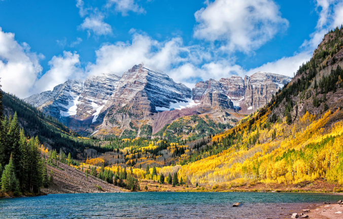
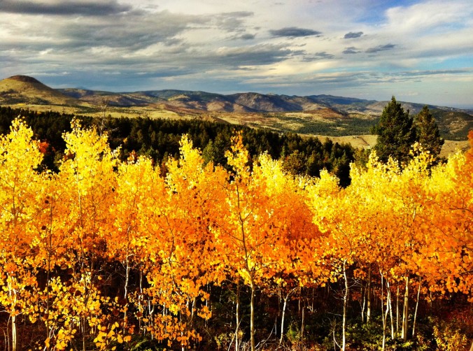
With more than 9,000 feet of elevation change across Boulder County, the variation in weather can be drastic. Using the hand-picked webcams on our site, you can visualize these differences whenever you like, as long as the sun is up. We briefly discuss how to access them and some potential applications for you weather enthusiasts out there!
We show a lot of model forecast maps here at BoulderCAST. They offer much more than just pretty colors. Complex weather models, like the GFS and Euro, generate staggering amounts of data in four dimensions (3-D space, plus time) for the entire Earth. Interpreting all that data to make an accurate forecast is a bit like piecing a puzzle together…while blindfolded, and without thumbs. Weather maps allow forecasters to visualize the model data in focused and convenient ways, making them our best tool. We briefly discuss how to first approach these maps.
Northeast Colorado could desperately use some rainfall, as we have been parched for the better part of the last two months. Despite the remnants of Tropical Depression 16-E slated to move through the state, the week ahead won’t offer much chance at a reprieve. Read on for all the details.
When was the last time it rained in Boulder? What hazardous material is now buried in the snow atop the Greenland Ice Sheet? Why are they calling this year’s El Nino “Godzilla”? Listen for find out!
After a somewhat active holiday weekend in which Boulder recorded rainfall on two of the days, dry weather returns this week! With our next major storm system quite far out, this is the first “week ahead” post that comes to you 100% precipitation free. However, read on to find out about those temperatures!

Live View of Boulder

Current Conditions

Live Radar

Recent Premium Posts

BoulderCAST Daily – Wed 05/13/26 | Thickening afternoon clouds could spoil Boulder’s bid for earliest 90° day on record
☀️ Ridge overhead fuels a fast warm‑up with sunshine pushing us toward 90°, …
BoulderCAST Daily – Tue 05/12/26 | Slightly cooler following an overnight front, but record highs near 90° return by tomorrow
🔥 Record‑tying heat: Boulder hit 88°F Monday, matching May 11th highs from 1961–63 …
BoulderCAST Daily – Sun 05/10/26 | Cooler today but the 80s are not far behind
☀️ Sunshine and pleasant temperatures with upper 60s for our Sunday 🌡️ Trending …
3-Day Forecast

Trending Content

© 2026 Front Range Weather, LLC