Author: Ben Castellani (Page 281 of 301)
Ben grew up in southwestern Pennsylvania and holds both a bachelor's and a master's degree in Meteorology, the latter being from CU Boulder. His hometown received nearly three feet of snow from the Storm of the Century back in March of 1993, sparking his initial interest in impactful weather. Ben currently works on remote sensing and data analysis software at NV5 Geospatial Software in Boulder.
Our system remains on track to bring a smattering of rain and snow to northeast Colorado this evening into Saturday morning. We give our final forecast, including when it will rain, when it will change to snow, and how much white stuff everyone can expect.
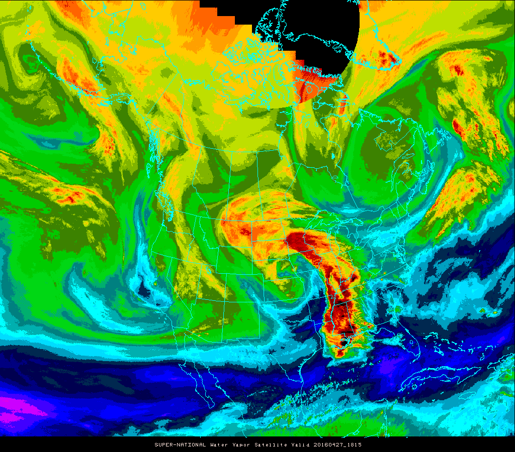
Yet another spring storm is eyeing northeast Colorado, poised to bring an extended period of rain and snow to the region Thursday afternoon into Saturday. The Foothills are set for another dumping of powder, but questions remain as to how much snow the Plains will be able to squeeze out.
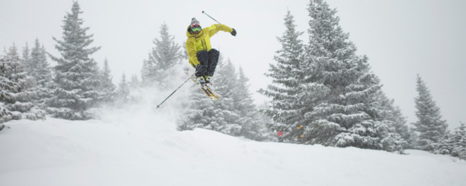
With a bulk of this winter’s snowfall now behind us, we’d like to take a moment to review the outcomes of our snowfall forecasts. From the early-season storm that flew completely under the radar, to the epic blizzards in late February and mid-March, it was a great year for powder across the Front Range! From the good, to the bad, to the downright ugly, we crunch the numbers to see how well our snowfall forecasts verified throughout the Denver Metro area across the entire winter season.
Following a stretch of warmer weather, an active storm track returns to close out the month of April. With it comes cooler temperatures and increased precipitation chances through the week. Our biggest concern is the potential for another spring storm late in the week. Read on for our complete outlook.

Live View of Boulder

Current Conditions

Live Radar

Recent Premium Posts

BoulderCAST Daily – Tue 05/12/26 | Slightly cooler following an overnight front, but record highs near 90° return by tomorrow
🔥 Record‑tying heat: Boulder hit 88°F Monday, matching May 11th highs from 1961–63 …
BoulderCAST Daily – Sun 05/10/26 | Cooler today but the 80s are not far behind
☀️ Sunshine and pleasant temperatures with upper 60s for our Sunday 🌡️ Trending …
BoulderCAST Daily – Sat 05/09/26 | Watching some late-day showers ahead of a cold front tonight
🌧️ Scattered showers this afternoon and evening ahead of a cold front setting …
3-Day Forecast

Trending Content

© 2026 Front Range Weather, LLC
You must be logged in to post a comment.