Author: Ben Castellani (Page 278 of 301)
Ben grew up in southwestern Pennsylvania and holds both a bachelor's and a master's degree in Meteorology, the latter being from CU Boulder. His hometown received nearly three feet of snow from the Storm of the Century back in March of 1993, sparking his initial interest in impactful weather. Ben currently works on remote sensing and data analysis software at NV5 Geospatial Software in Boulder.

Following our first summer-like weekend of the year, the focus for the week ahead will be unsettled weather and a chance of storms each and every day, with seasonal temperatures in place through the week. Read on for our complete forecast for the next five days.
For the past several weeks, we have largely received the short end of the stick in regards to weekend weather. If it wasn’t rain, it was snow. If it wasn’t snow, it was the cold and fog. Mother Nature’s timing couldn’t have been more unfortunate, with storm after storm arriving promptly at the end of each work-week. However, this week we finally break this pattern as conditions quiet down and heat up across the Front Range. Continue reading for our full weekend outlook and when we expect the rain to return.
Dreary with low clouds and light precipitation lingering through the day. Additional light snow accumulations possible above 9,000 feet. Highs across the Plains in the low 40’s. Continue reading for today’s full forecast.

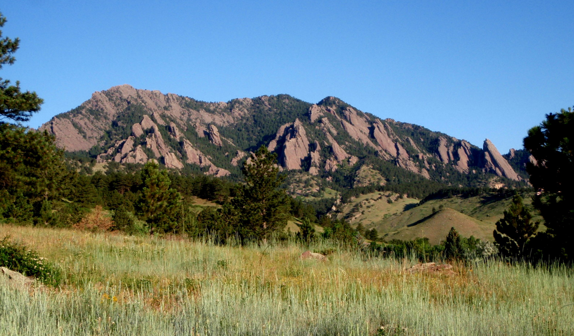
Live View of Boulder

Current Conditions

Live Radar

Recent Premium Posts

BoulderCAST Daily – Tue 05/12/26 | Slightly cooler following an overnight front, but record highs near 90° return by tomorrow
🔥 Record‑tying heat: Boulder hit 88°F Monday, matching May 11th highs from 1961–63 …
BoulderCAST Daily – Sun 05/10/26 | Cooler today but the 80s are not far behind
☀️ Sunshine and pleasant temperatures with upper 60s for our Sunday 🌡️ Trending …
BoulderCAST Daily – Sat 05/09/26 | Watching some late-day showers ahead of a cold front tonight
🌧️ Scattered showers this afternoon and evening ahead of a cold front setting …
3-Day Forecast

Trending Content

© 2026 Front Range Weather, LLC
You must be logged in to post a comment.