Author: Ben Castellani (Page 26 of 294)
Ben grew up in southwestern Pennsylvania and holds both a bachelor's and a master's degree in Meteorology, the latter being from CU Boulder. His hometown received nearly three feet of snow from the Storm of the Century back in March of 1993, sparking his initial interest in impactful weather. Ben currently works on remote sensing and data analysis software at NV5 Geospatial Software in Boulder.

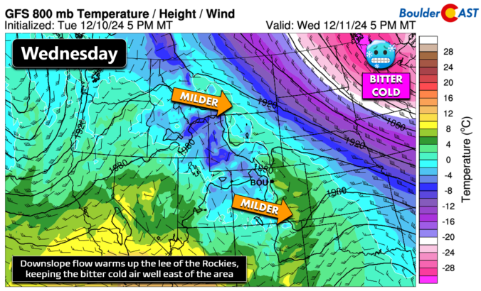
*Premium* BoulderCAST Daily – Wed 12/11/24 | Downslope flow boosts our temperatures the next few days, but tracking a weak system for Friday
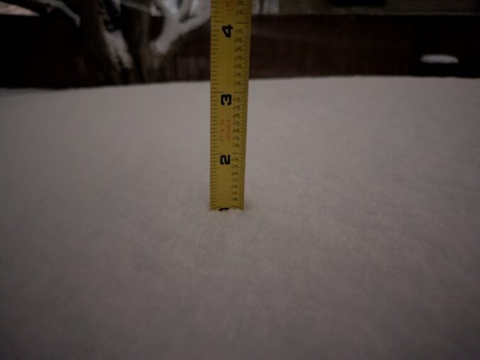
*Premium* BoulderCAST Daily – Tue 12/10/24 | Staying chilly today with breezes making it feel even colder, plus a look at last evening’s snow totals
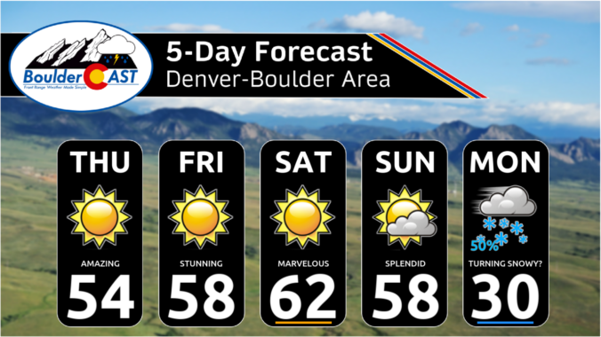
*Premium* This Weekend in Colorado Weather: Continued beautiful December days, but wintry changes are brewing Monday
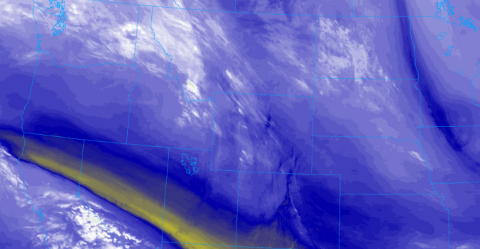
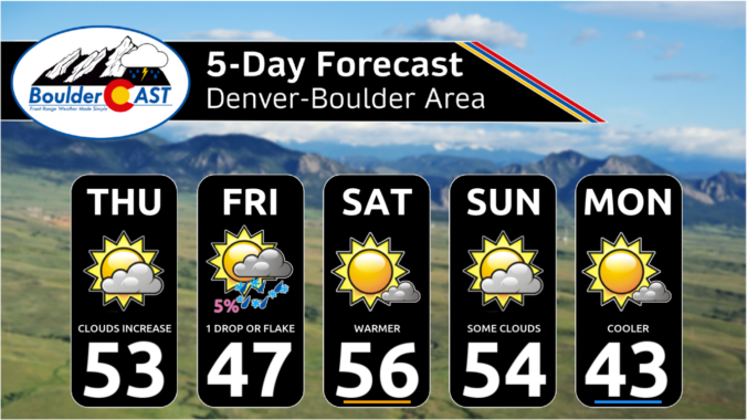
As we step into the first week of meteorological winter, the Front Range will feel like anything but. This week will feature pleasant weather thanks to a persistent and strong ridge along the West Coast. While the primary storm track remains off to the east, Colorado will enjoy above normal temperatures and dry conditions, day in and day out. Read on for all the details.
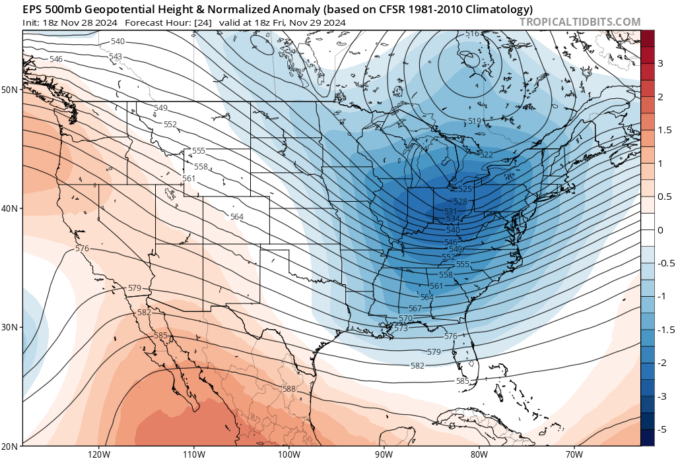
*Premium* BoulderCAST Daily – Fri 11/29/24 | Mostly sunny & about ten degrees warmer today, but still below normal
© 2026 Front Range Weather, LLC

