


Author: Ben Castellani (Page 246 of 358)

Ben grew up in southwestern Pennsylvania and holds both a bachelor's and a master's degree in Meteorology, the latter being from CU Boulder. His hometown received nearly three feet of snow from the Storm of the Century back in March of 1993, sparking his initial interest in impactful weather. Ben currently works on remote sensing and data analysis software at NV5 Geospatial Software in Boulder.
DayCAST: Thu 07/12/18

The center of the ridge of high pressure has moved further east this morning and is now situated across Illinois. This shift has allowed winds aloft to finally revert back to westerly across Colorado. Also note in the map below the speckles of vorticity across the state. Those are remnants of the upper-level low pressure the moved in yesterday. There …

DayCAST: Wed 07/11/18

Shown below is the GOES-16 visible satellite loop from yesterday evening in northern Colorado. A few things to note from the animation: Totally sunny skies across the Plains, with thick clouds and lots of thunderstorms west of the Continental Divide. This was the area tapping into some monsoon moisture yesterday and it will do so again today. All of the …

DayCAST: Tue 07/10/18

Another hot and sunny day is expected across the Front Range today. The 500 mb map below shows the large-scale features for today: The broad and persistent ridge of high pressure remains across the south-central United States, centered across Nebraska today. Embedded in the core of the ridge is a peculiar-looking closed-low which is actually tracking in a westerly direction. This low …

It’s been hot, but where is the summer monsoon?

With the first full-week of July coming to a close, monsoon season is right around the corner for northeast Colorado. However, its arrival is not something you can mark on the calendar as there is no set date for its commencement. It fluctuates substantially from year to year, depending greatly on the weather patterns of Mexico, the southeast USA, and the tropical eastern Pacific Ocean. We discuss the current state of the atmosphere and when we expect the monsoon to finally arrive.

Continue reading

DayCAST: Fri 07/06/18

A tenth to a quarter of an inch of rain fell across many areas yesterday as scattered "popcorn" thundershowers drenched the area with our first significant rainfall in many, many days. Not only did beneficial rains reach some of the actively burning wildfires in the Mountains, a rare tornado formed at near 10,000 feet elevation yesterday afternoon in Park County …

DayCAST: Thu 07/05/18

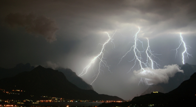
Despite a few isolated thunderstorms last night, most fireworks across the region went off without a hitch! This was my view from the a hill overlooking the Broomfield and Westminster displays. The frequent lightning actually made for a complimentary show alongside the fireworks! A few storms yesterday did reach severe criteria. The map below shows the hail reports from yesterday....up …

DayCAST: Wed 07/04/18

The ridge centered across Northeast will be retrograding in the coming days. This means the wave will be moving against the background flow direction in the atmosphere.... in this case, westward. You can watch this process happen in the 500 mb height animation below. Notice the strong ridge shift from the East Coast today into the Four Corners region by this weekend. As this transition happens, we'll see …

« Older posts Newer posts »
