


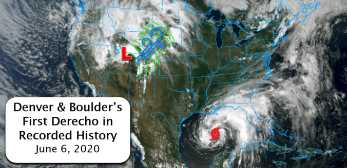
Were you caught off-guard by the historic wind storm that swept across Colorado on Saturday? This type of widespread, damaging wind event is known as a derecho. What transpired on Saturday was the first in recorded history to impact Boulder and Denver. We take a look at the low pressure that caused the event, the astonishing wind reports from across the area, and discuss why this may have been the first and last derecho we ever experience.
Author: Ben Castellani (Page 186 of 358)
Ben grew up in southwestern Pennsylvania and holds both a bachelor's and a master's degree in Meteorology, the latter being from CU Boulder. His hometown received nearly three feet of snow from the Storm of the Century back in March of 1993, sparking his initial interest in impactful weather. Ben currently works on remote sensing and data analysis software at NV5 Geospatial Software in Boulder.


A welcomed cool-down will transpire early in the week as a strong Pacific trough moves across the Rockies. However, accompanying the cooler temperatures will be very strong winds Monday evening and night, as well as widespread rain and even some wet snow in the higher elevations. By mid-week, yet another ridge of high pressure will begin to take shape leading to a warming and drying trend for the Front Range.
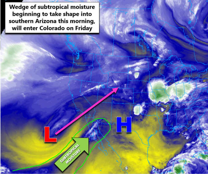
⦁❶⦁ Hot and mostly dry with just a 10% chance of an afternoon shower or weak storm
⦁❷⦁ Due to a very dry lower atmosphere, strong gusty outflows expected but brief light rainfall
⦁❸⦁ Hot with temperatures peaking in the lower 90’s by early afternoon
⦁❹⦁ Deeper moisture arrives tomorrow from the southwest with an uptick in storm activity expected

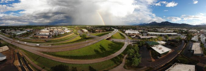
May 2020 had pockets of interesting weather mixed in with atypically longer dry periods. Here’s a quick and colorful recap of our weather during the month of May and how it relates to climatology.

Live Radar

Trending Content


Recent Premium Posts

This Weekend in Colorado Weather: The Quiet Pattern Ends as Storm Activity Picks Up Across the West
After weeks of sunshine, mild afternoons, and storm systems repeatedly missing Colorado to …
BoulderCAST Daily – Wed 11/11/26 | Mild Days Ahead, But There Are Signs of a More Active November Soon
☀️ Warm & Quiet — Sunshine dominates through Thursday with highs rising from …
BoulderCAST Daily – Tue 11/10/26 | Clouds Increase Today, But Colorado’s Dry Pattern Rolls On
🌤️ A Few More Clouds Today – Mountain wave clouds are developing along …
© 2026 Front Range Weather, LLC