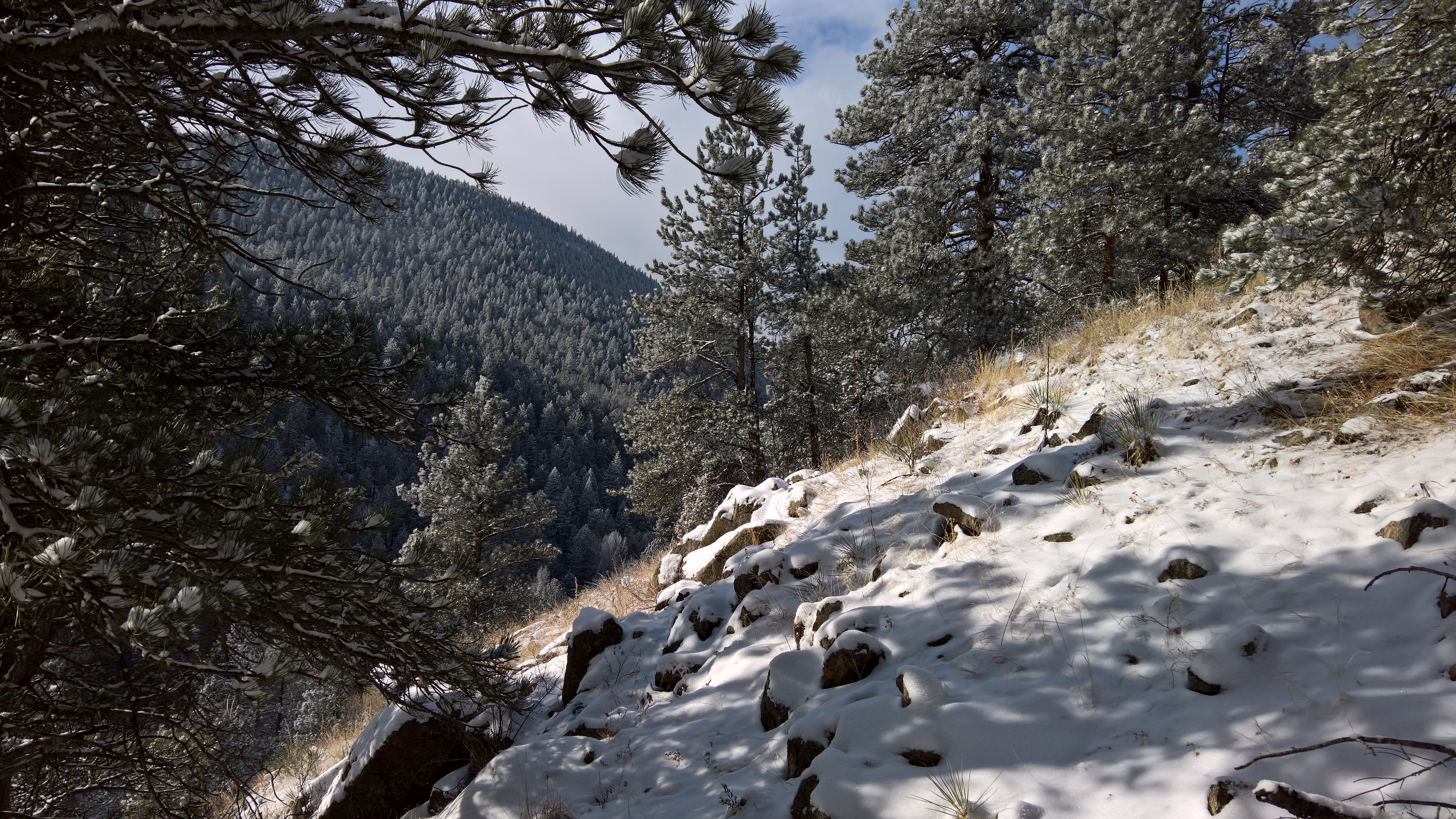
After a breezy and mild Sunday, this week’s weather is all about the wind and warmth. The upper-level jet will be overhead these next few days, producing west-northwest winds as high as 70 mph at times, especially in the Foothills. A ridge then rebuilds by midweek, sending our highs soaring into the low 70’s. Nothing to speak of in terms of precipitation, though the mountains will see some snow. Time to get those shorts out!
Author: Andy (Page 215 of 218)
Born and raised in St. Louis, Andrew obtained a Ph.D. in Atmospheric Science from the University of Colorado in 2015. From 2015 to 2020, he worked remotely in Boulder as an atmospheric scientist with NOAA's Atlantic Oceanographic and Meteorological Laboratory in Miami. Andy is now a full-time meteorologist.
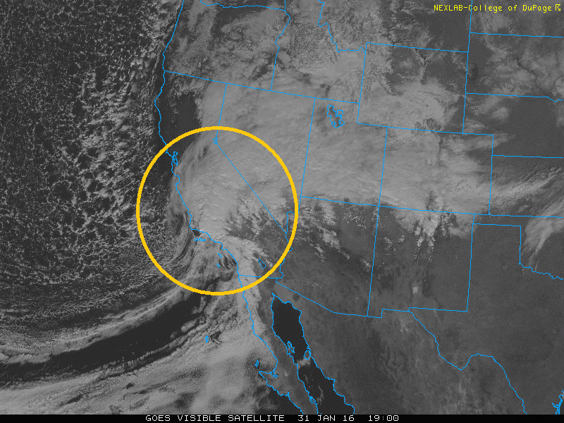
Storm system making landfall over southern California this afternoon
The strong winter storm is still right on track to hit the Denver Metro area and much of Colorado. As we discussed in our previous post, this storm looks impressive and will lead to several inches of snow on the ground by Tuesday morning. In this final update, we provide our snowfall forecast from tonight into Tuesday for Denver, Boulder and the adjacent Foothills.
After a lengthy cold stretch which brought more snow to Colorado and other parts of the country, this week we are in store for moderating temperatures, with the potential for low 50’s come Wednesday, all thanks to the heart of the cold air retreating back to Canada and the Northeast. Colder weather and the potential for snow returns late Friday and for the upcoming weekend. What are the specifics for the week? Read on to find out more!
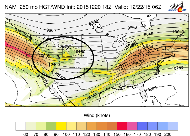
This week will feature a series of snow events across the High Country, with several ski resorts likely accumulating more than a foot of snow by midweek. This is all thanks to a large Pacific jet stream tracking into the western United States. There are also hints Boulder may see some snow on Christmas. Continue to find out more.

After nearly a week of below freezing temperatures, including a frigid and snowy Thanksgiving, the weather will make a turn for the better during the upcoming week with temperatures rising into the 50’s. Read on to find out when the warm-up arrives!
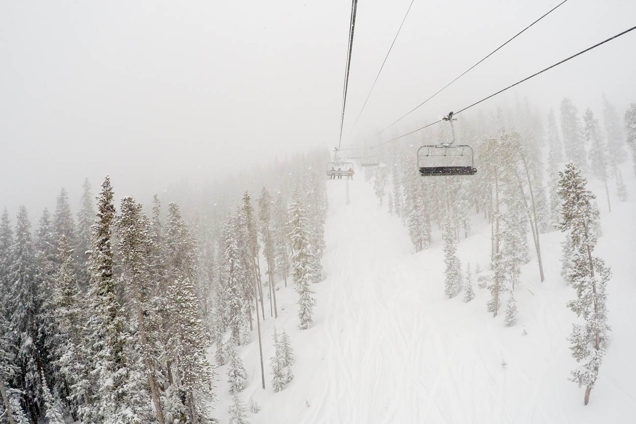
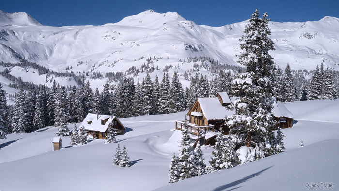
Above shows the snow over Winter Park Ski resort this past weekend due to a large upper-level low pressure system that was rotating over Nevada since last Wednesday. How much snow did the mountains get and what is the PowderCAST outlook for the week ahead? Continue for more details!
After a tranquil weekend, the weather pattern turns more active again with our next shot of snowfall this evening into tomorrow morning. This is all thanks to another potent low pressure system coming out of the Eastern Pacific Ocean. How much will we get? What will the rest of the week feature? Read on to find out more details!

Live View of Boulder

Current Conditions

Live Radar

Recent Premium Posts

BoulderCAST Daily – Sun 06/07/26 | Heat and fire weather
🥵 Lower 90s continue for our Sunday 🌩️ Front Range storms more isolated …
BoulderCAST Daily – Sat 06/06/26 | Isolated afternoon storms as the heat continues
🥵 Middle 90s dominate today and Sunday 🌩️ Front Range storms each afternoon/evening …
BoulderCAST Daily – Fri 06/05/26 | A streak of 90s set in through the weekend
🥵 A streak of 90s today through the weekend with low to middle …
3-Day Forecast

Trending Content

© 2026 Front Range Weather, LLC
You must be logged in to post a comment.