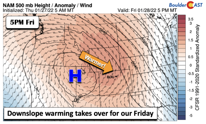
Aridge of high pressure at mid-levels will be the story for today, ushering in a nice warmup to end our week. The ridge will be centered over western Utah and eastern Nevada. As a result of the ridge in place, lots of sunshine will dominate our skies today and tonight. That will aid in some snow melt from what fell …
Three or four days out, if the models are indicating good snow in the area north of Denver, say for Cheyenne, there are still decent odds it will end up tracking over our region. However, if the models paint heavy snow over southern Colorado or northern New Mexico, our chances for decent snow are slim to none. We always need to be cautious of this southward shift.