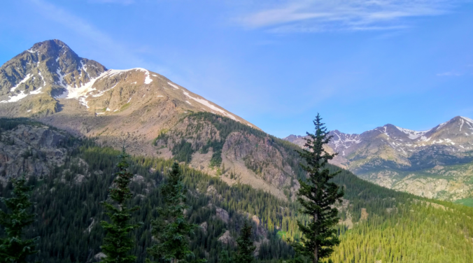
A change to the weather pattern has taken place early this week with a noticeably drier airmass establishing itself across Colorado and the monsoon moisture plume redirected well to our east. Ultimately this will translate into a drier and warmer period in the near-term.
W
hether you know it or not, a sizable change in the overall weather pattern has taken hold across the southern tier of the United States. Our pesky large-scale high pressure center has shifted eastward into the Deep South…currently positioned across northern Louisiana. This high had previously been loitering across Arizona, New Mexico, and west Texas for nearly a month now helping to keep the hose of monsoon moisture pumping into Colorado. With this change, however, the flow has turned zonal (westerly) early this week which will have a noticeable drying effect on our area.
As you can see below, as the high has shifted eastward, so too has the plume of sub-tropical moisture surging northward. The deepest moisture influx is slamming Texas, Oklahoma and Kansas, with the Desert Southwest and Colorado left in the dust (for now).
A closer inspection shows precipitable water values have dropped to near 0.5″ across the Metro area and even lower over the adjacent Mountains. For the Monday through Wednesday period this week, downslope flow of very dry air will allow for a good deal of sunshine, warm to borderline hot temperatures, and very meager chances for late-day rain.
The story will be different across FAR eastern Colorado as the drying effects of the downslope will be minimal. Several surges of low-level moisture will back into the region from Nebraska and Kansas. This moisture will produce very unstable conditions with severe weather looking probable both Tuesday and Wednesday afternoons (and possibly Thursday and Friday, too). At this time, models are in earnest agreement that this pool of moisture will remain east of the Denver Metro area with mostly dry conditions holding for our region despite the explosive set-up not too far to the east.
Towards the latter part of the work-week, we see yet another change in the weather pattern coming. High pressure will shift back to the west into southern New Mexico. While still not ideal for the monsoon, this will help recirculate more moisture northward into the region and increase storm chances slightly Thursday and Friday, especially across southern Colorado’s Mountains.
At the same time, we also are watching an approaching cut-off low pressure system into the Pacific Northwest. Longer-range model guidance from the GFS and Euro models are not bringing this system far enough south to have any real impacts on Colorado. As such, the ahead week will end much like it starts: warm and mostly dry…
Forecast Specifics:
Monday: Sunny skies turning partly cloudy through the afternoon, but remaining dry. Highs in the upper 80’s across the Plains and in the middle 70’s in the Foothills.
Tuesday: Mostly sunny with extremely isolated late-day thundershowers. High temperatures near 90 degrees for the Plains with upper 70’s in the Foothills.
Wednesday: Mostly sunny with isolated afternoon and evening thunderstorms. Highs in the lower 90’s on the Plains and near 80 in the Foothills.
Thursday: Morning sun with isolated afternoon and evening storms, mainly across the higher terrain. Look for highs in the lower 90’s on the Plains and upper 70’s in the Foothills.
Friday: Partly cloudy with isolated afternoon and evening storms. Highs near 90 on the Plains and in the upper 70’s in the Foothills.
High Country: Dry air will be in control across the Mountains most of the week virtually preventing storms from forming. The main exception will be the San Juans and Sangres of southern Colorado, where just enough moisture will be present to fire isolated afternoon and evening storms each day. Isolated to scattered storm chances return to most o of the state for Thursday and Friday (and the weekend). Visit our SummitCAST page for updated forecasts for more than 120 Colorado mountain destinations, including all of our state’s majestic 14ers.
DISCLAIMER: This weekly outlook forecast was created Monday morning and covers the entire upcoming week. Accuracy will decrease as the week progresses as this post is NOT updated. To receive daily updated forecasts from our team, subscribe to BoulderCAST Premium.
.
Spread the word, share our forecast!


You must be logged in to post a comment.