
How did August’s weather rank historically? When will our first snow happen? How many 14ers did the hosts take down this summer? What is the current status of the Arctic sea ice? Listen for find out!
Tag: longmont (Page 18 of 18)
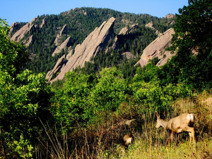
The weather this August has been very mundane, compliments of a pesky ridge of high pressure which has held its ground across the American Southwest. As a result, August was characterized by beautiful weather, albeit hot. The monsoon plume has largely been confined to Arizona, Utah, and western parts of Colorado, keeping the Front Range relatively parched the past month. Will this trend continue into September? Read on as we examine Boulder’s climatology and consider the current state of the atmosphere to give our outlook for next month.
After a sunny, dry, and at times, smoky weekend, which saw near record-breaking heat across the Plains, the week ahead will feel noticeably cooler. Late-season monsoon moisture will also invade our state once again, keeping the chance of rain in the forecast through the week.
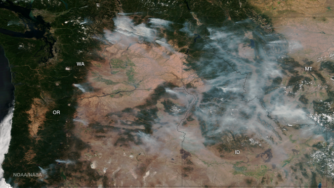
After a gorgeous Sunday across the entire Boulder area, the heat returns as the ridge of high pressure rebuilds from the south. By midweek, a system approaches, bringing a chance of storms back into our forecast. The past week has also been quite hazy/smoky, most prominently on Saturday. When will the smoke clear? Read on to find out!
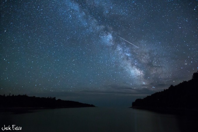
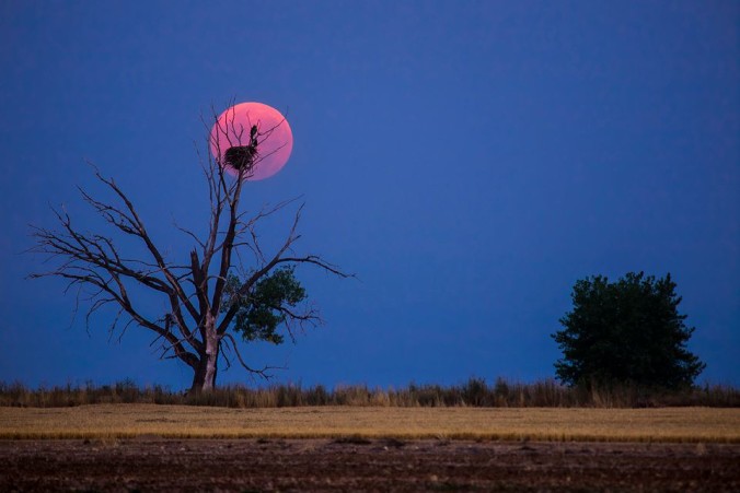
Monsoon moisture returns for the first half of the week, after a relatively dry August so far. Temperatures will start off cool in the 80’s with gradual warming into the low 90’s by Friday. The annual Perseid meteor shower is slated to peak on Wednesday evening after midnight. Read on to find out how many shooting stars will be visible and if the weather of Boulder County will cooperate!

Live View of Boulder

Current Conditions

Live Radar

Recent Premium Posts

BoulderCAST Daily – Tue 11/25/25 | Quiet weather through Friday afternoon, but much colder temperatures and snow are on-track to arrive this weekend
🌡️ A dry cold front dropped temps ~15°F in an hour before sunrise …
This Week in Colorado Weather: November 24, 2025
As we wrap up November and head into Thanksgiving week, the weather is …
BoulderCAST Daily – Sun 11/23/25 | Rain moves in tonight
🌧️ Rain moves in tonight: Rain moves in tonight
3-Day Forecast

Trending Content


© 2025 Front Range Weather, LLC