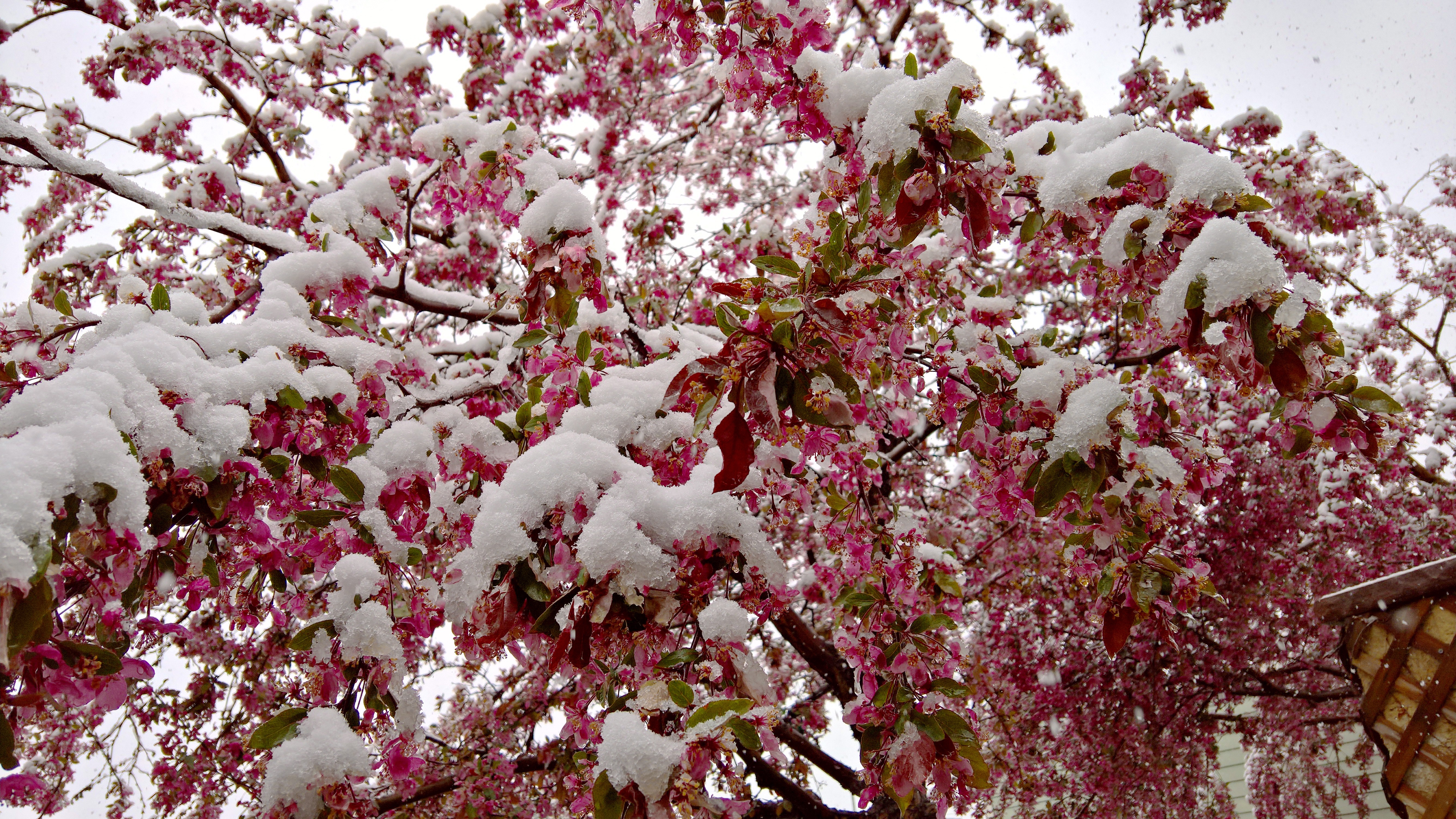
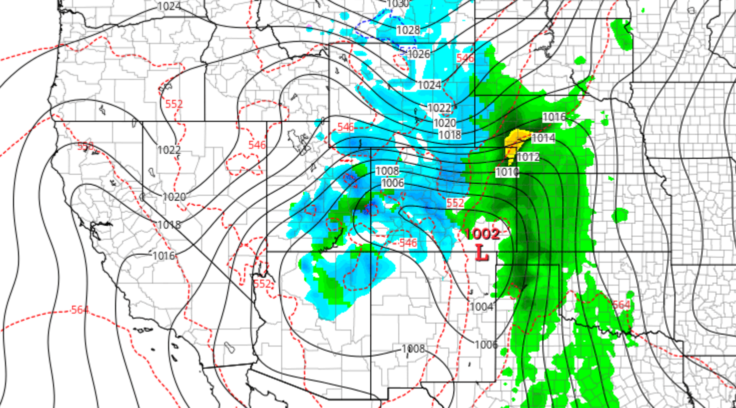
After much hype, Mother Nature delivered a mid-April wallop of snow to northeast Colorado this weekend. Some of us fared (much) better than others, but just about everyone got in on the action. We review the good and bad of our forecast and check in on the health of our mountain snow pack.
Tag: Front Range (Page 12 of 20)
We’ve been tracking the storm very closely over the last week. With forecast temperatures trending down over the last several days, the threat of potentially flooding rain has morphed into the concern for a dumping of heavy, wet spring snow for everyone across the Front Range. Read on as we present our final forecast for this historic storm.
A powerful, slow-moving system is still on track to impact the region through the weekend. The Foothills are undoubtedly set for massive snow totals, but uncertainty remains in exactly how much the lower elevations will pick up. We summarize recent model trends and give a forecast update on this upcoming historic weather event.
Not surprisingly, there is already A LOT of media hype surrounding the potential for another “epic snowstorm” this weekend across the Denver Metro area. It’s been all over social media and the news, with even a few shades of optimism present in our own forecasts. However, let’s take it one step at a time and not line ourselves up for disappointment. Continue reading as we set realistic expectations for this weekend’s potential storm.
After a smattering of rain last night, cool and dreary weather will prevail on Monday. However, we’ll warm back up and (mostly) dry out in no time. For the end of the week, we’re monitoring the arrival of a powerful weather system which will likely bring rain and snow back into the picture for the weekend. Read on for our full outlook for the week ahead.
Our storm has come ashore this morning in southern California and will be skirting south of Colorado tonight. After a round of showers and thunderstorms this afternoon, a cold front passes through this evening, causing snow levels to take a dive. Read on as we detail tonight’s messy forecast, including where to expect the spring snow.
We’re currently tracking a spring storm set to arrive to eastern Colorado Sunday night. It has the potential to bring significant snowfall to parts of the area. The track has remained consistent for several days now, and the models seem to be converging on a common solution. As such, confidence is increasing and we’re here to outline what we know so far and what to expect to end the weekend.

We hope you had a wonderful weekend. Whether you were skiing up in the mountains or biking/hiking in the Foothills, the weather was perfect for all outdoor activities! The warming trend continues today, but takes a slight reprieve by midweek with a cold front ushering in mountain snow. The warmth rebounds to end the week with lots of sunshine. Overall a great week to kick of the month of April! Continue reading for our full outlook.
© 2025 Front Range Weather, LLC


You must be logged in to post a comment.