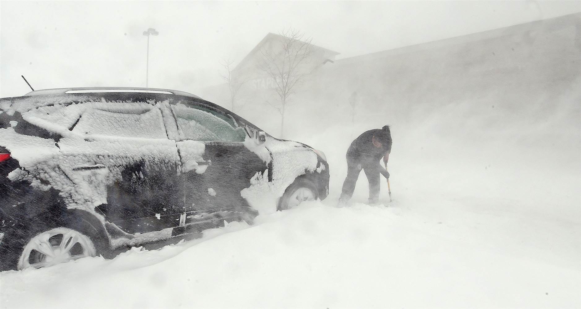
We recap last week’s two snow events, examine where March 2016 fits into Boulder’s history, and look forward to what’s shaping up for April.

We recap last week’s two snow events, examine where March 2016 fits into Boulder’s history, and look forward to what’s shaping up for April.
After a taste of snow this afternoon, it will be right back in the forecast for tomorrow as a weak system slides southward across the state. Read on for timing and amounts.
The snowstorm we have been tracking for almost a week now is finally here. Models are consistent in keeping most of the snow to our north, but a little white stuff is still in our future. Read on for our final forecast.
We hope you had a joyous Easter holiday weekend. The last two weeks have been very snowy across the Front Range, with nearly three feet falling in the city of Boulder. The trend continues for the week ahead as we monitor yet another powerful spring snow storm set to churn across the northern Rockies. Uncertainty is still high, but the chance for significant snow does exist. Continue reading for our full outlook.
A few big changes in the models in the eleventh hour last night brought the threat of heavy snow westward into the Boulder area. How much more is going to fall? Read on to find out.
Following our second consecutive 70-degree day, Mother Nature has big changes in store for tonight. Less than a week after the last Front Range snow storm, another one is already knocking on our door. Unlike the previous event, the focus for heavy snow this time will be to the east of Denver, near the core of a rapidly intensifying surface low pressure. However, just about everyone should get in on the action. Read on for timing, amounts, and our thoughts on potential impacts. Continue reading
Great conditions for skiing will continue this week, as well as an active pattern for snow on the Plains. The focus for the week ahead will be a fast-moving system Wednesday, which will usher in below normal temperatures and little bit of white stuff. Beyond that, we’re also monitoring a second chance of snow for the weekend. Read on for our full forecast.
The March sun has already made its presence known, quickly working to wither away yesterday’s dumping of snow. We review the storm totals from across the region, and reveal when we’ll return to those spring-like 70’s (spoiler: it’s shockingly soon). We’re also already tracking our next potential snow event. Read on for details.
© 2025 Front Range Weather, LLC
You must be logged in to post a comment.